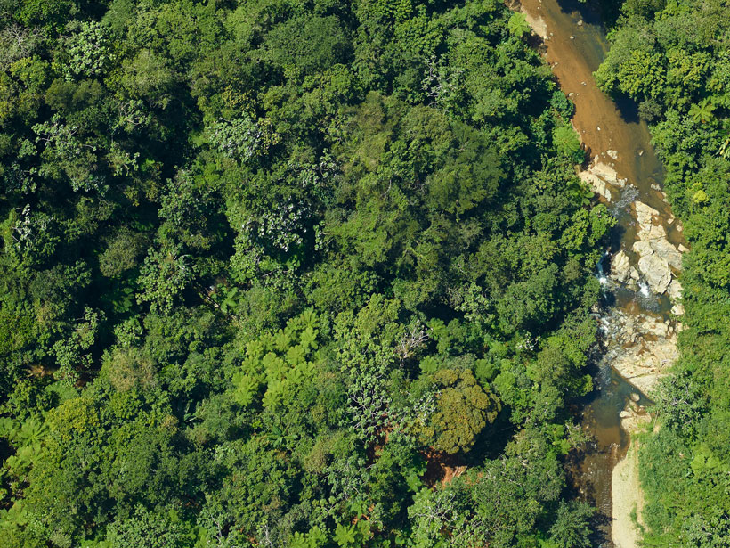
Different satellite-based metrics for global vegetation coverage tell complementary, but not identical, stories.
remote sensing

Posted inScience Updates
Eyes in the Sky Improve Pollen Tracking
Physicians, public health officials, and experts in remote sensing and ecology recently met to identify ways that satellites, webcams, and crowdsourced science could help them manage asthma and allergies.

Posted inScience Updates
Earth Observations Inform Cities’ Operations and Planning
Rio de Janeiro, Brazil, and Chicago, Ill., are using NASA Earth observations to map, monitor, and forecast water and air quality, urban heat island effects, landslide risks, and more.

Posted inResearch Spotlights
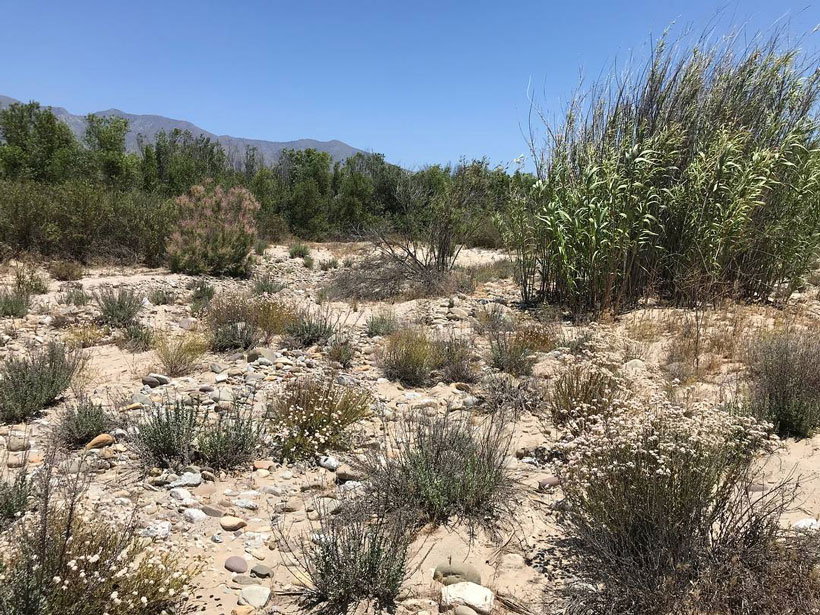
Great Plains Plants Bounce Back After Large Wildfires
An analysis of nearly 1,400 wildfires suggests that some postfire techniques used to help restore vegetation may be unnecessary.
Posted inScience Updates
Mapping Vegetation Health Around the World
A new spaceborne sensor monitors Earth’s surface temperature at a resolution higher than ever before, providing information on ecosystem responses to changes in water availability and climate stressors.

Posted inNews
Five Things Spy Satellites Have Taught Us About Earth
Long before we had satellites beaming terabytes of data back to Earth, we had covert spacecraft the size of school buses snapping photos on rolls of film 50 kilometers long.
Posted inEditors' Vox
Detecting Earth’s Natural Hazards High Up in the Sky
Signals in the ionosphere contain information about the source and scale of natural hazards occurring on Earth’s surface that could be used for monitoring and mitigation.
Posted inNews
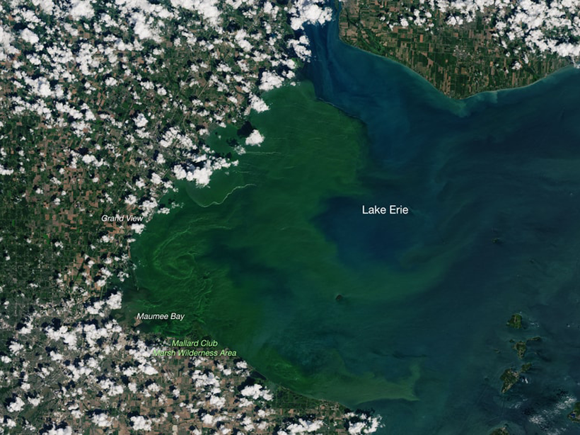
AquaSat Gives Water Quality Researchers New Eyes in the Sky
A new data set combining sample data and remote sensing could give scientists the power to make accurate predictions at a global scale.
Posted inNews
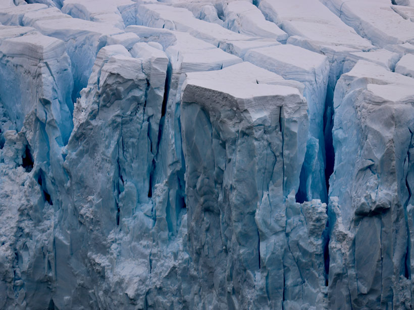
Shrinking Ice Sheets Lifted Global Sea Level 14 Millimeters
Researchers measure both grounded and floating ice sheets using satellite data spanning a 16-year period.
Posted inNews
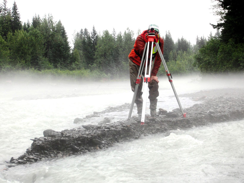
How Routine Monitors Weather the Pandemic Storm
Much of routine monitoring can be done remotely these days, but networks aren’t completely immune to COVID-19’s society-halting symptoms.