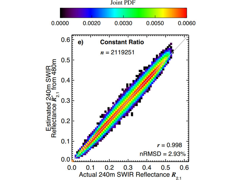
Cloud retrievals for partly cloudy pixels might be able to be improved by using high-resolution samples in a visible to near-infrared band, which many satellite sensors offer.
remote sensing

Posted inResearch Spotlights
Satellite Observations Validate Stratosphere Temperature Models
Since the 1970s, the stratosphere has cooled as ozone levels dropped and carbon dioxide levels increased. Chemical models of the temperature decline conflicted with satellite observations—until now.

Posted inNews
Enormous Impact Crater Spotted in Greenland Under Glacial Ice
Ice-penetrating radar revealed a 31-kilometer impact crater—one of the world’s largest—in northwestern Greenland that might have been formed fewer than 20,000 years ago.
Posted inScience Updates
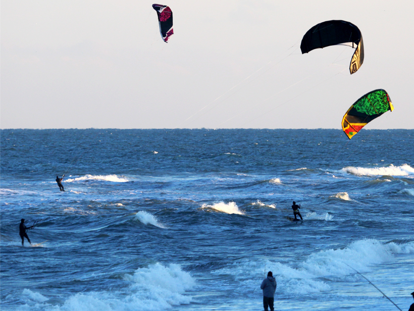
Satellite Observations of Ocean Surface Winds and Currents
Florida State University workshop on Satellite Observations of Ocean Surface Winds & Currents; La Jolla, California, 18–19 May 2018

Posted inEditors' Highlights
Polarization Measurements Probe the Physics of Lightning
A new measurement capability can detect the polarization of the radio frequency wave of lightning sources, which reveals different forms of lightning breakdown processes.
Posted inEditors' Highlights
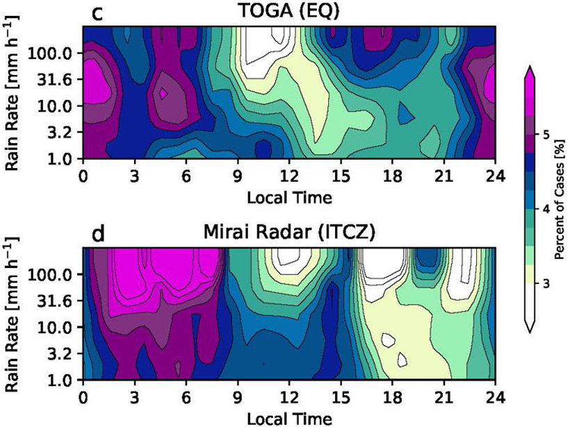
Diurnal Variation of Rainfall over the Equator Revisited
Radar data show an afternoon precipitation maximum in the equatorial Indian Ocean in addition to the nocturnal maximum; this occurs under light surface winds and suppressed large-scale convection.

Posted inResearch Spotlights
A More Detailed Look at Earth’s Most Poorly Understood Crust
The second-generation Antarctic Digital Magnetic Anomaly Project offers a powerful new tool for probing the structure and evolution of the southernmost continent’s lithosphere.
Posted inScience Updates
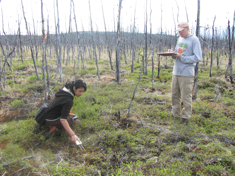
Mapping and Monitoring Soil Moisture in Forested Landscapes
Monitoring Forest Soil Moisture for a Changing World; Ann Arbor, Michigan, 15–17 May 2018

Posted inEditors' Highlights
New Lidar Comparisons of Temperatures Near the Mesopause
For the first time, simultaneous measurements of upper atmosphere temperatures over altitudes 80 to 110 kilometers have been made by two complementary lidar techniques.

Posted inResearch Spotlights
A Closer Look at the Sustainability of Our Groundwater Aquifers
Researchers use a new approach to assessing the world’s largest aquifers in hopes of improving groundwater management during drought periods.