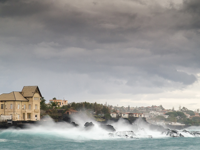
• About
  • Special Reports
  • Topics
    • Climate
    • Earth Science
    • Oceans
    • Space & Planets
    • Health & Ecosystems
    • Culture & Policy
    • Education & Careers
    • Opinions
  • Projects
    • Postcards From the Field
    • ENGAGE
    • Editors’ Highlights
    • Editors’ Vox
    • Eos en Español
    • Eos 简体中文版
    • Print Archive: 2015–2025
  • Policy Tracker
  • Blogs
    • Research & Developments
    • The Landslide Blog
  • Newsletter
  • Submit to Eos
  • AGU.org
  • Career Center
  • Join AGU
  • Give to AGU
  • About
  • Special Reports
  • Topics
    • Climate
    • Earth Science
    • Oceans
    • Space & Planets
    • Health & Ecosystems
    • Culture & Policy
    • Education & Careers
    • Opinions
  • Projects
    • Postcards From the Field
    • ENGAGE
    • Editors’ Highlights
    • Editors’ Vox
    • Eos en Español
    • Eos 简体中文版
    • Print Archive: 2015–2025
  • Policy Tracker
  • Blogs
    • Research & Developments
    • The Landslide Blog
  • Newsletter
  • Submit to Eos
Skip to content
  • AGU.org
  • Career Center
  • Join AGU
  • Give to AGU
Eos

Eos

Science News by AGU

Support Eos
Sign Up for Newsletter
  • About
  • Special Reports
  • Topics
    • Climate
    • Earth Science
    • Oceans
    • Space & Planets
    • Health & Ecosystems
    • Culture & Policy
    • Education & Careers
    • Opinions
  • Projects
    • Postcards From the Field
    • ENGAGE
    • Editors’ Highlights
    • Editors’ Vox
    • Eos en Español
    • Eos 简体中文版
    • Print Archive: 2015–2025
  • Policy Tracker
  • Blogs
    • Research & Developments
    • The Landslide Blog
  • Newsletter
  • Submit to Eos

remote sensing

Firefighters at the Ranch Fire in California
Posted inNews

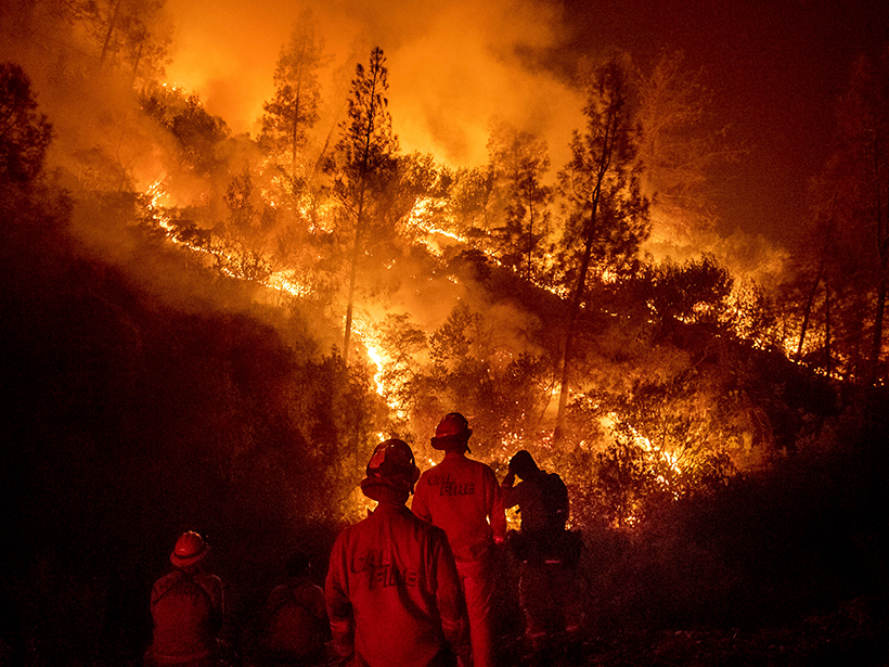
How Forecasting Models Are Changing the Way We Fight Fires

Jenessa Duncombe, Staff Writer by Jenessa Duncombe 17 August 20183 November 2022

Eos speaks with Andy Edman, western region chief of the Science and Technology Infusion Division at the National Weather Service, about how the agency is helping wildfire crews fight fires from space.

Floodplain lakes and inundated forest near the Yukon River at Yukon Flats National Wildlife Refuge in Alaska.
Posted inScience Updates

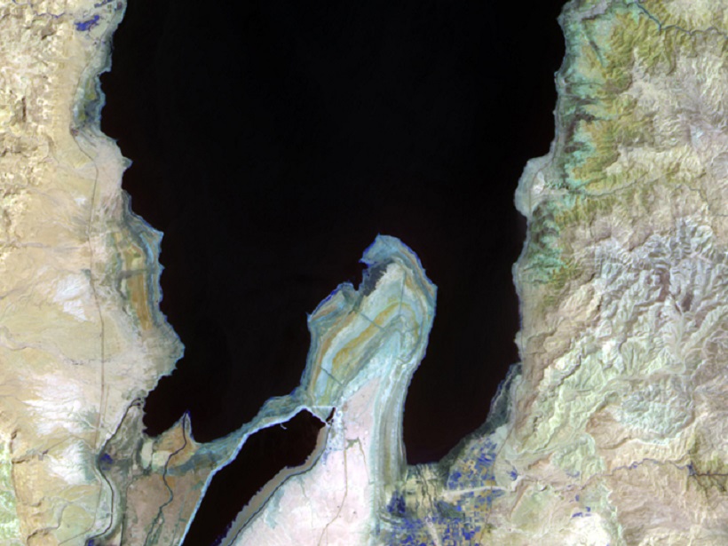
How Much Land Surface Is Under Water at Any Given Time?

by T. M. Pavelsky and J. T. Minear 15 August 201810 March 2023

NASA Workshop on Remote Sensing of Inundation Extent; Boulder, Colorado, 21–22 May 2018

Posted inEditors' Highlights

Radar Data Highlights Areas Damaged by Wildfire and Debris Flows

by B. Pirenne 14 August 201828 October 2021

Synthetic aperture radar data post-processing can be used to analyze changes in the landscape, providing a useful tool for disaster response.

Posted inEditors' Vox

Seeing Surface Water From Space

by C. Huang 1 August 201815 March 2023

Satellite-based optical sensors can detect, measure and monitor changes in lakes, reservoirs, rivers and wetlands, providing useful data with multiple applications for science and society.

Global Flood Hazard: Applications in Modeling, Mapping and Forecasting
Posted inEditors' Vox

The Challenges of Global Flood Hazard Mapping and Prediction

by G. J.-P. Schumann 9 July 201827 February 2023

A new book presents the latest tools in remote sensing technologies and modeling approaches for addressing challenges and meeting future needs in global flood hazard mapping and prediction.

Posted inEditors' Vox

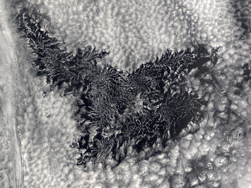
How Many Water Droplets Are in a Cloud?

by D. Grosvenor 5 July 20183 February 2022

The number of droplets in clouds affects how much of the Sun’s warming energy is reflected back to space. But how reliable are our attempts to count them?

Researchers use remote sensing to track how vegetation affects dissolved organic carbon in waterways
Posted inResearch Spotlights

Refining Remote Sensing of Dissolved Organic Carbon in Waterways

by E. Underwood 22 June 20186 January 2023

Nearby vegetation affects the color of organic matter, a new study finds.

https://doi.org/10.1029/2018GH000136
Posted inEditors' Highlights

New Strategies to Protect People from Smoke During Wildfires

by Gabriel Filippelli 21 June 201822 October 2021

Satellite measurements coupled with inexpensive air quality monitors could help protect humans from smoke particulates during wildfire events.

The SnowEx project’s first year addressed using remote sensing techniques to measure snow water content in forested areas.
Posted inScience Updates

How Can We Find Out How Much Snow Is in the World?

by E. Kim 1 June 20187 February 2023

In Colorado forests, NASA scientists and a multinational team of researchers test the limits of satellite remote sensing for measuring the water content of snow.

Researchers model magma flow under Iceland’s Bárðarbunga volcano to spot previously undetected eruptions
Posted inResearch Spotlights

Magma Flow in a Major Icelandic Eruption

Sarah Stanley, Science Writer by Sarah Stanley 23 May 20181 November 2021

Mechanical modeling suggests that previous, undetected eruptions released tectonic stress near the ice-covered Bárðarbunga volcano.

Posts pagination

Newer posts 1 … 23 24 25 26 27 … 38 Older posts
Over a dark blue-green square appear the words Special Report: The State of the Science 1 Year On.

Features from AGU Publications

Research Spotlights

What Makes Mars’s Magnetotail Flap?

20 April 202620 April 2026
Editors' Highlights

How Space Plasma Can Bend the Laser of Gravitational Wave Detectors

24 April 202623 April 2026
Editors' Vox

Hydrothermal Heat Flow as a Window into Subsurface Arc Magmas

28 April 202628 April 2026
Eos logo at left; AGU logo at right

About Eos
ENGAGE
Awards
Contact

Advertise
Submit
Career Center
Sitemap

© 2026 American Geophysical Union. All rights reserved Powered by Newspack