“We’re back!” says $10-million-per-year project’s science team leader.
remote sensing

Posted inResearch Spotlights
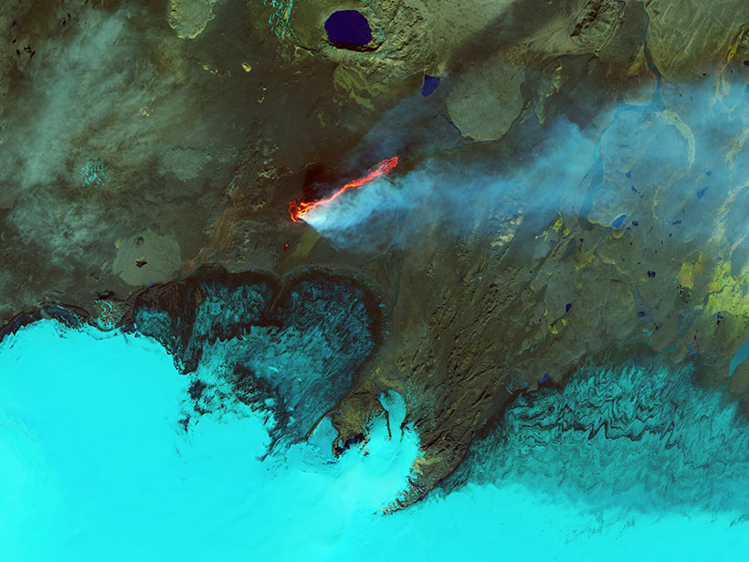
Observing Volcanoes from Space
The first multidecadal, satellite-based study of Latin America’s most active volcanoes could help researchers better predict eruptions.

Posted inResearch Spotlights
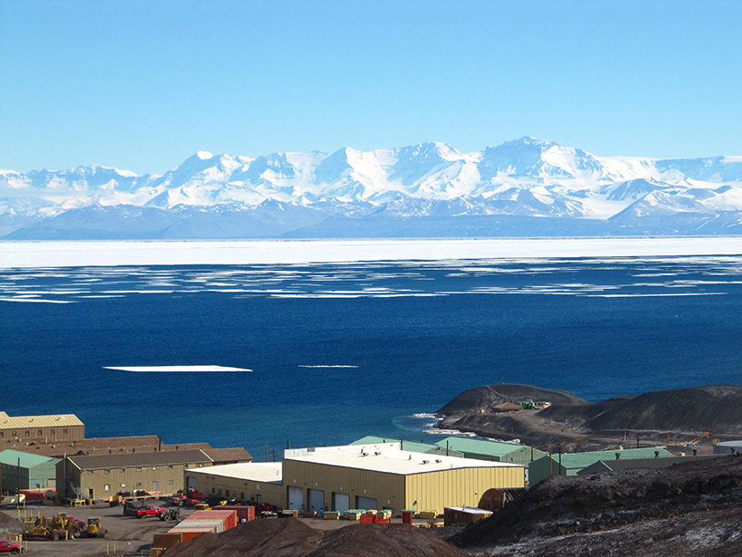
Humming Ice Shelf Changes Its Seismic Tune with the Weather
Seismic waves resonating within the upper layers of the Ross ice shelf could help scientists monitor the Antarctic melt season and understand factors that could lead to sudden ice shelf collapse.
Posted inScience Updates
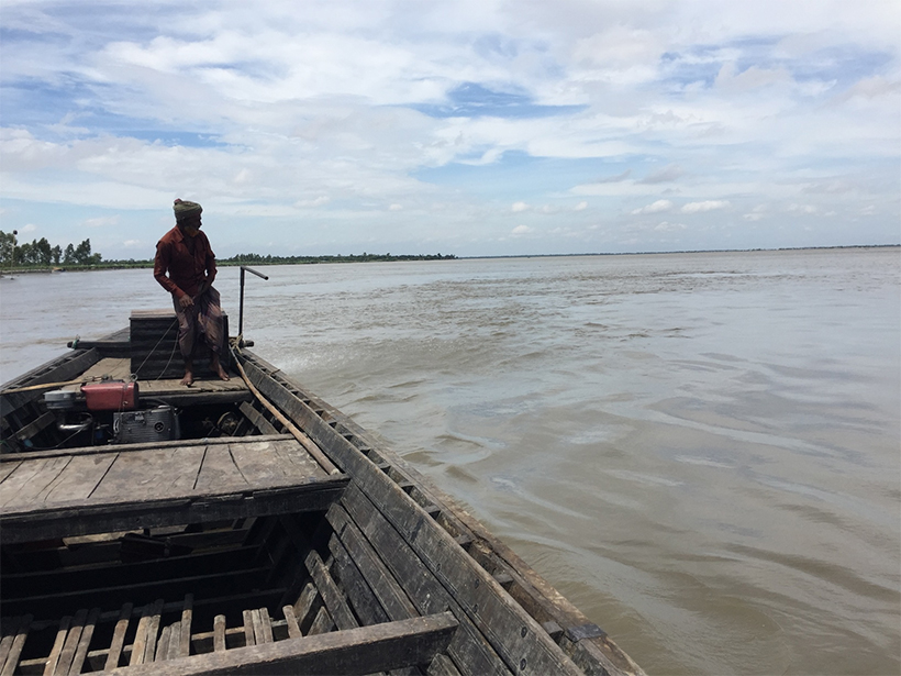
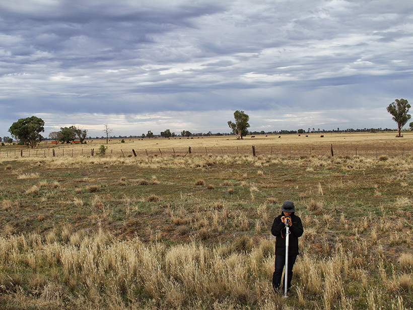
When Floods Cross Borders, Satellite Data Can Help
With so many eyes in the sky, residents living downstream from dams now have many ways to see—and prepare for—potential dangers.
Posted inResearch Spotlights
Observations Show Gravity Waves Above Antarctica Dance in Winter
Year-round observations show gravity waves above Antarctica exhibit seasonal patterns that peak in winter, which could help researchers trace the source of this mysterious phenomenon.
Posted inFeatures
Earth’s Devastating Power, Seen by Satellite
Hurricanes, volcanoes, droughts, floods, fires, tsunamis: Satellites capture some of Earth’s most destructive forces.

Posted inResearch Spotlights
New Analysis Provides a Fresh View of the Atmosphere on Venus
Researchers apply a radio holographic method to standard Venusian atmospheric data, resulting in outputs with finer vertical resolution and revealing small-scale atmospheric structures.
Posted inNews
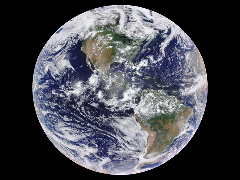
One-Pixel Views of Earth Reveal Seasonal Changes
By averaging satellite images of the Earth down to a single pixel, researchers trace how the planet’s mean color varies over time, results that inform observations of distant exoplanets.
Posted inResearch Spotlights
Evaluating the Efficiency of Data Assimilation
Information is lost when researchers combine statistical models and remote sensing data, but just how much is often unclear. A new study offers a framework to measure the inefficiency.

Posted inScience Updates
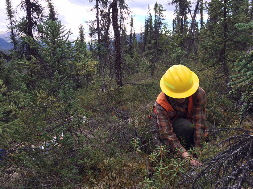
Remote Sensing Leads to Better Understanding of Polar Regions
Fifteenth International Circumpolar Remote Sensing Symposium; Potsdam, Germany, 10–14 September 2018