
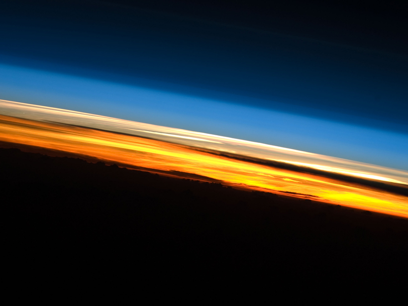
Fine-scale simulations of cumulus cloud layers could help improve weather and climate models.
remote sensing
Posted inResearch Spotlights
Aerosols May Play a Big Part in Atmospheric Absorption
A new study shows that aerosols have a strong impact on the reflectivity of the Earth's atmosphere, absorbing more solar radiation within the atmospheric layers than previously thought.
Posted inScience Updates
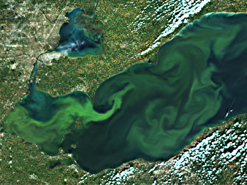
Agencies Collaborate, Develop a Cyanobacteria Assessment Network
An integrated, holistic approach to detecting and characterizing cyanobacteria blooms could reduce human health risks and better direct field resources.
Posted inResearch Spotlights
Tropical Deforestation Accelerated Faster Than Initially Thought
New satellite-based analysis of forest cover in the humid tropics from 1990 to 2010 contradicts previous estimates of rate of loss.

Posted inScience Updates
Urbanization Affects Air and Water in Italy's Po Plain
Satellite and ground-based measurements show a correlation between urban growth and increased levels of pollutants.

Posted inResearch Spotlights
Night Lights Illuminate Human Presence near Rivers
Nocturnal satellite imagery and other fine-scale data could improve global water resources management.
Posted inOpinions
Data for All: Using Satellite Observations for Social Good
The satellite and science communities must engage with stakeholders to identify priorities and capabilities, enabling the most beneficial use of abundant satellite sensing data.
Posted inScience Updates
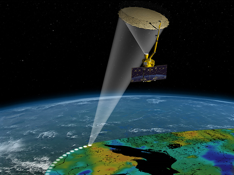
Satellite Data for Water Resources Management
2015 NASA Applied Sciences Program, Water Resources Team Meeting; College Park, Md., 3–4 March 2015
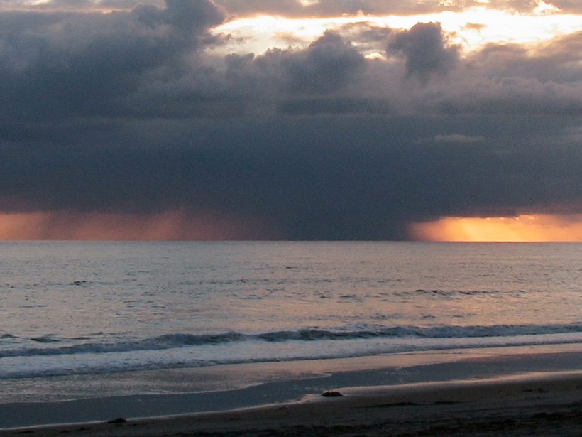
Posted inResearch Spotlights
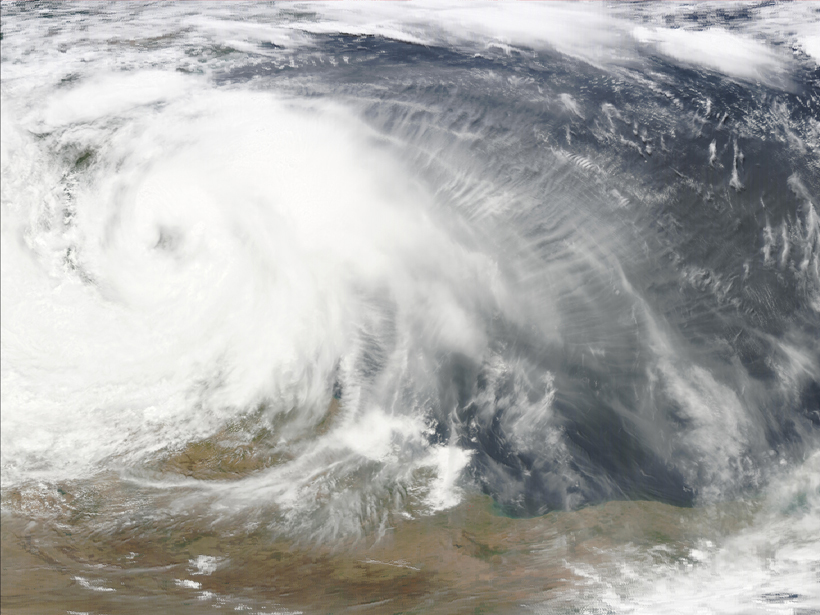
Cool Downdrafts in Large Thunderstorms Captured by Satellite
Orbiting scatterometers can reveal patterns of cool air in mesoscale convective systems.

Posted inNews
Reduced Middle East Air Pollution Linked to Societal Disruption
Invasions, armed conflict, sanctions, and economic distress correlate with cleaner air in high-resolution satellite data that reveal air quality at the individual city level.