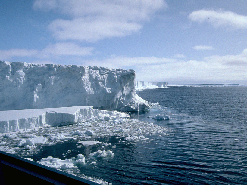
New, more accurate satellite data provide researchers with ice shelf thickness measurements that will allow for better ice loss monitoring.
remote sensing
Posted inResearch Spotlights
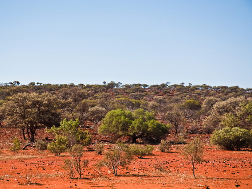
Satellites Reveal a Temporary Carbon Sink over Australia
Satellite measurements of atmospheric carbon dioxide provide insights into how droughts and floods influence the carbon cycle on the semiarid continent of Australia.
Posted inResearch Spotlights
Satellites Track Chlorophyll Fluorescence to Monitor Drought
New satellite observations show connection between solar-induced chlorophyll fluorescence and soil moisture—a key mechanism behind drought onset.
Posted inNews
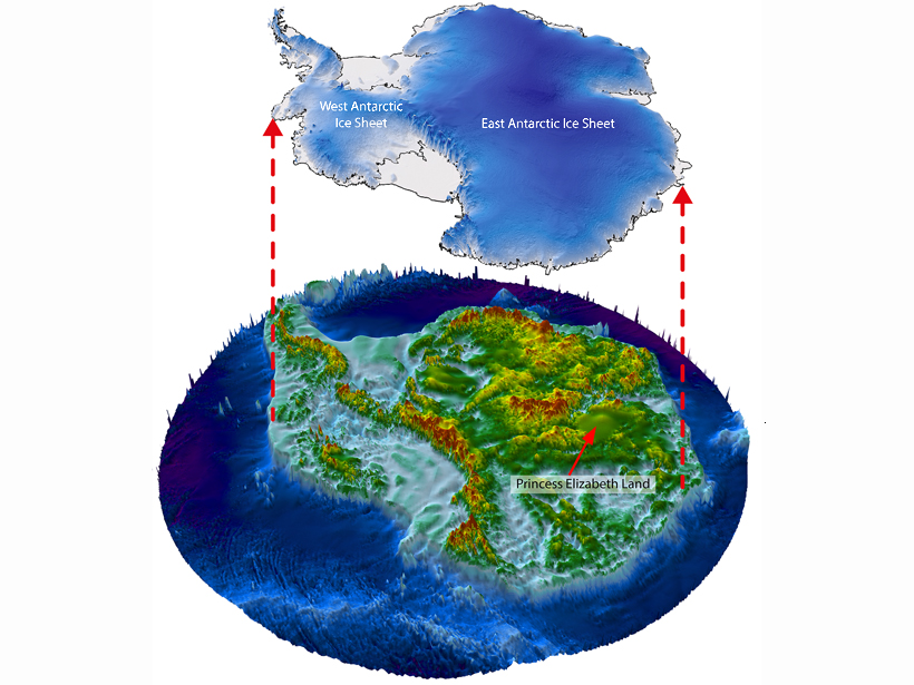
Antarctic Ice May Harbor Huge Network of Canyons
Scientists saw hints in satellite data of dramatic geologic features under thousands of meters of ice in a little-probed part of East Antarctica. Now they are using airborne radar to explore further.
Posted inScience Updates
Abundance of Satellite Data Presents Opportunity, Challenge
Globalizing Societal Application of Scientific Research and Observations from Remote Sensing: The Path Forward; Tacoma, Washington, 23–25 June 2015

Posted inScience Updates
New Technology and Teamwork to Tackle Ocean Color Radiometry
International Ocean Colour Science Meeting; San Francisco, California, 15–18 June 2015

Posted inNews
Three–Dimensional Scans Illuminate Wildlife Environments
Detailed laser imaging of vegetation and landforms where animals live and roam offers revealing new perspectives on interactions between those creatures and their surroundings.

Posted inNews
Assessing U.S. Fire Risks Using Soil Moisture Satellite Data
NASA satellite data and models provide information for mapping fire risks nationwide, giving agencies tools for fire response, say scientists at the AGU Fall Meeting.
Posted inNews
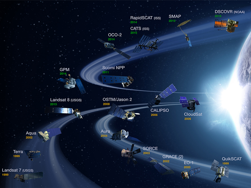
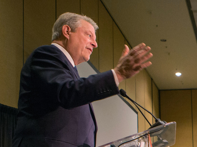
Gore Calls Paris a Good Start on Climate, but More Action Needed
The former U.S. vice president said the Paris agreement offers hope for stabilizing the climate. He also discussed Earth observation instruments used to monitor and understand the planet.
Posted inScience Updates
Toward a Global Water Quality Observing and Forecasting System
Group on Earth Observations Water Quality Summit; Geneva, Switzerland, 20–22 April 2015