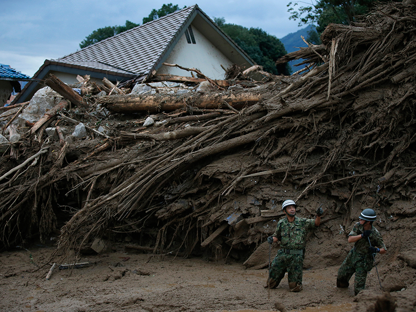
Combining satellite precipitation measurements and remotely sensed environmental data, a new system aims to improve landslide awareness and preparedness in all corners of the globe.
remote sensing

Posted inNews
Remote Sensing Regulations Come Under Congressional Scrutiny
Republicans accused the administration of dragging its feet on recommending policy revisions. A federal advisory committee has a November deadline to provide recommendations.

Posted inResearch Spotlights
Does Water Vapor from Volcanic Eruptions Cause Climate Warming?
By studying past volcanic eruptions, scientists find that the amount of water vapor reaching the stratosphere during moderately explosive eruptions may not be contributing to the greenhouse effect.

Posted inScience Updates
Charting Ice Sheet Contributions to Global Sea Level Rise
An international team produced an integrated assessment of polar ice mass losses in 2012. Now efforts to provide an up-to-date assessment are under way, with an open invitation for participation.
Posted inResearch Spotlights
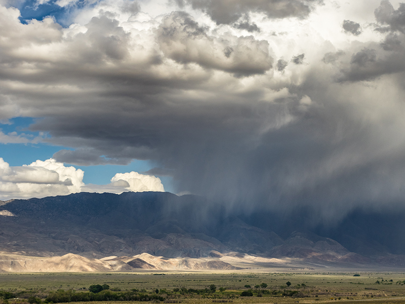
Monster El Niño Not Enough to Quench California Drought
New research shows that the Sierra Nevada snowpack will likely not recover from the current drought until 2019.
Posted inNews
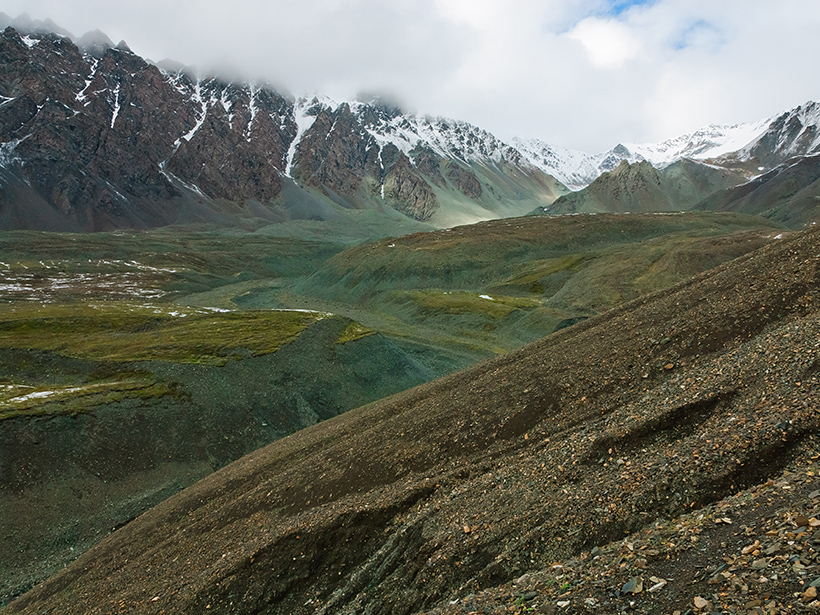
Surveying Alaskan Minerals from Afar
By using hyperspectral imaging, researchers test their ability to find copper in remote areas.

Posted inNews
Telica Volcano Rested Quietly Right Before Spewing Ash
The length of quiet periods predicts the severity of eruption events, according to a new model that might soon help forecast explosions worldwide.
Posted inResearch Spotlights
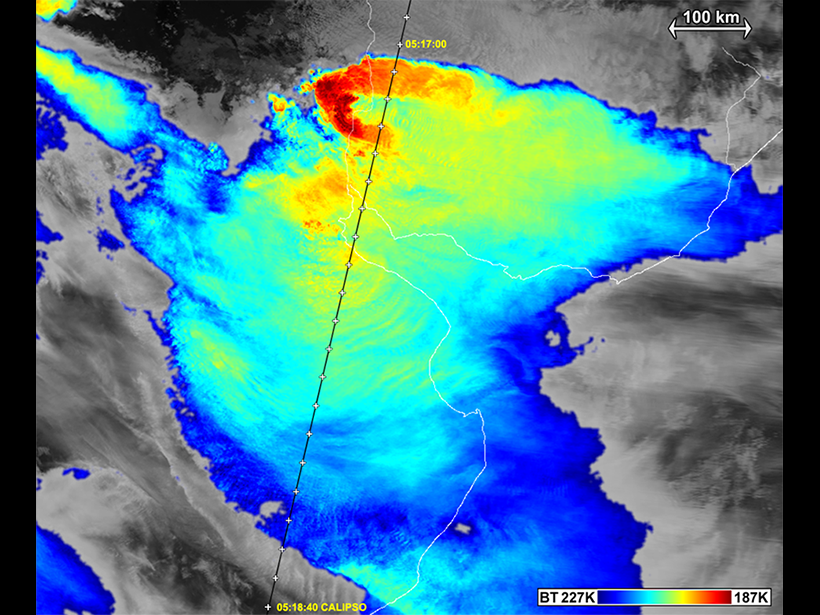
When Thunderstorms Have Wings
A new study uncovers the origin of a gull wing–shaped cirrus cloud above an Argentinian thunderstorm captured in satellite images.
Posted inScience Updates
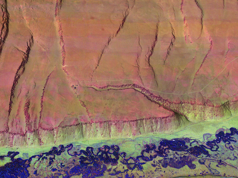
Multicolor Terrain Mapping Documents Critical Environments
The Titan airborne topographic laser system takes spatial and spectral data at three wavelengths at once, mapping threats from climate change and ecological disasters in regions with complex terrain.
Posted inResearch Spotlights
Measuring Atmospheric Aerosols Despite the Clouds
Researchers devise ways for remote sensors to integrate aerosol content above clouds into current methods of measurement.