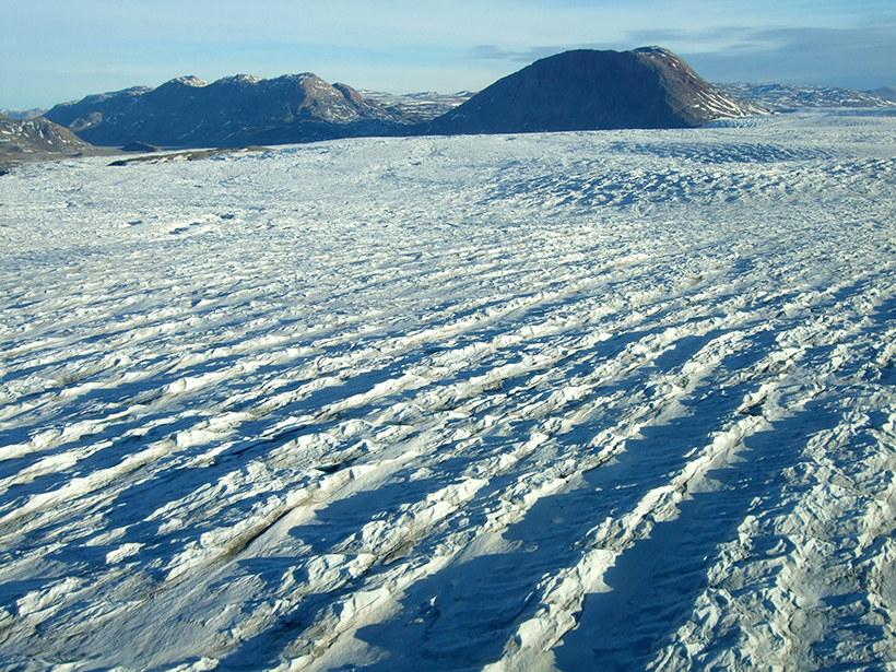
A new web-based data portal gives scientists access to more than 40 years of satellite imagery, providing seasonal to long-term insights into outflows from Greenland's ice sheet.
remote sensing
Posted inResearch Spotlights
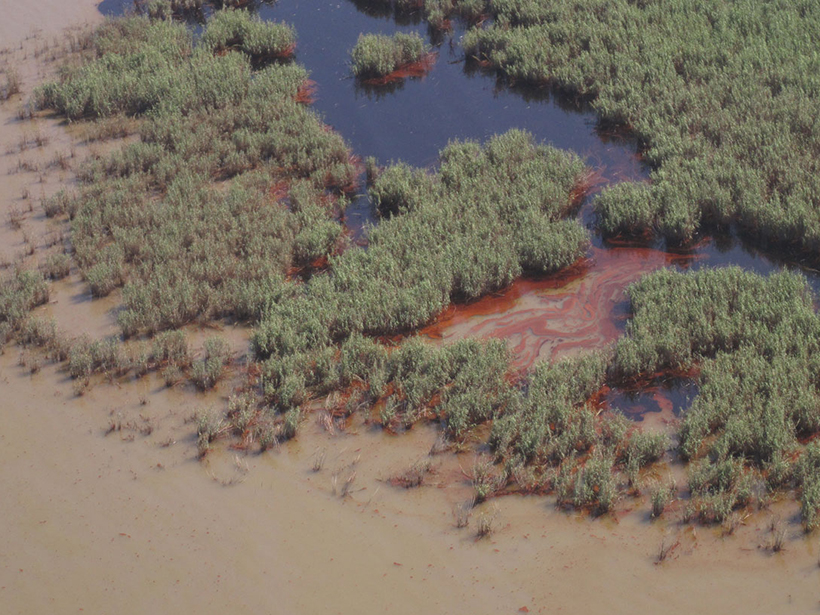
Oil Residues Accelerate Coastal Wetland Losses
Coastal wetland loss after an oil spill can be more extensive than after a hurricane.
Posted inScience Updates
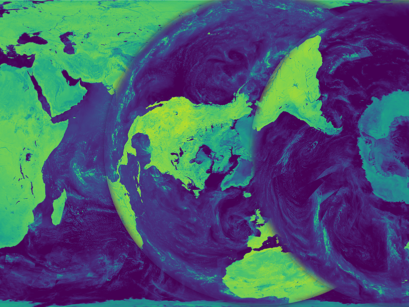
Bringing Earth's Microwave Maps into Sharper Focus
New processing capabilities improve the spatial resolution of satellite microwave data, enabling scientists to analyze trends in coastal regions and marginal ice zones.
Posted inNews
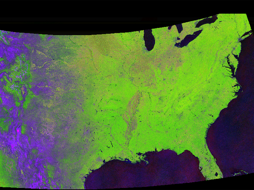
Tracking Global Change with a Cloud-Based Living Atlas
With their feet in the cloud, Descartes Labs is pushing the limit of how we study the Earth with satellite images.
Posted inResearch Spotlights
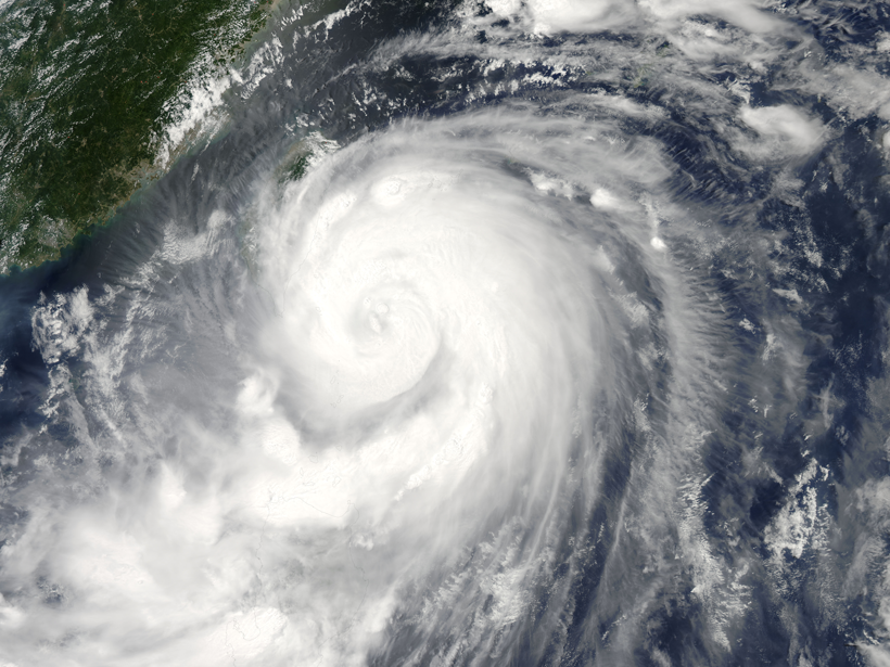
Reading Raindrops: Microphysics in Typhoon Matmo
Quantitative predictions about tropical storms require an understanding of even their smallest physical processes. A new study observes unusual microphysics in 2014's Typhoon Matmo.

Posted inNews
First of Next Generation of U.S. Weather Satellites Hits the Sky
The novel spacecraft and three sister satellites to follow are expected to vastly improve storm forecasting.

Posted inResearch Spotlights
Gulf Stream Destabilization Point Is on the Move
Westward migration of the wavelike Gulf Stream pattern could have big effects on ocean mixing and heat transport off the U.S. East Coast.
Posted inScience Updates
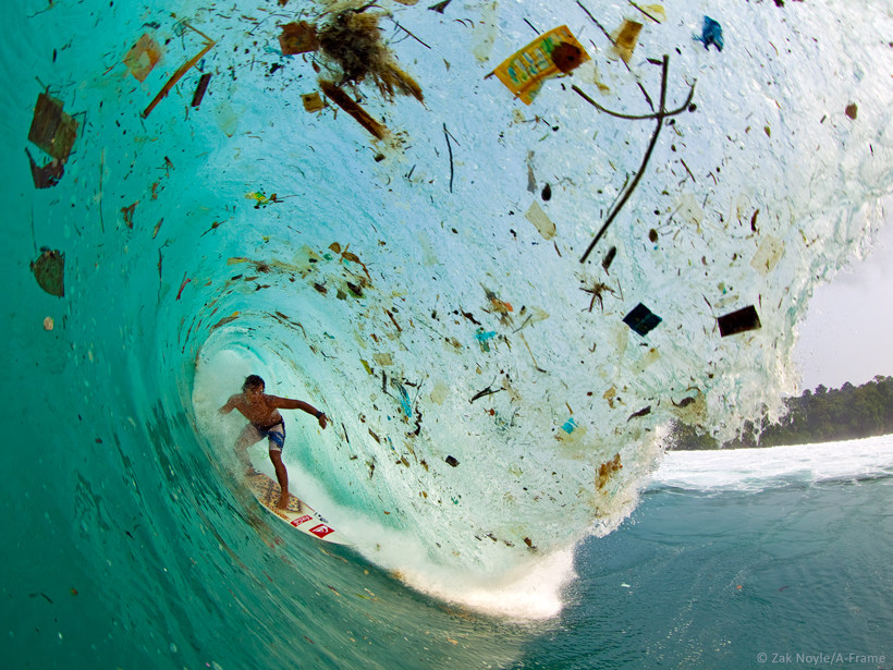
Developing a Remote Sensing System to Track Marine Debris
Workshop on Mission Concepts for Marine Debris Sensing; Honolulu, Hawaii, 19–21 January 2016

Posted inNews
Online Tracking of Ships Fights Illegal Fishing Worldwide
The system currently follows and records the movements of more than 35,000 large fishing vessels globally to bring transparency to commercial fishing activities.
Posted inScience Updates
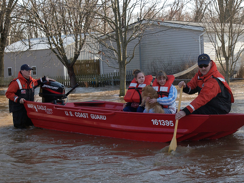
Flood Response Using Earth Observation Data and Products
NASA Flood Response Workshop; Greenbelt, Maryland, 14–16 June 2016