• About
  • Sections
  • Topics
    • Climate
    • Earth Science
    • Oceans
    • Space & Planets
    • Health & Ecosystems
    • Culture & Policy
    • Education & Careers
    • Opinions
  • Projects
    • ENGAGE
    • Editors’ Highlights
    • Editors’ Vox
    • Eos en Español
    • Eos 简体中文版
    • Print Archive
  • Science Policy Tracker
  • Blogs
    • Research & Developments
    • The Landslide Blog
  • Newsletter
  • Submit to Eos
  • AGU.org
  • Career Center
  • Join AGU
  • Give to AGU
  • About
  • Sections
  • Topics
    • Climate
    • Earth Science
    • Oceans
    • Space & Planets
    • Health & Ecosystems
    • Culture & Policy
    • Education & Careers
    • Opinions
  • Projects
    • ENGAGE
    • Editors’ Highlights
    • Editors’ Vox
    • Eos en Español
    • Eos 简体中文版
    • Print Archive
  • Science Policy Tracker
  • Blogs
    • Research & Developments
    • The Landslide Blog
  • Newsletter
  • Submit to Eos
Skip to content
  • AGU.org
  • Career Center
  • Join AGU
  • Give to AGU
Eos

Eos

Science News by AGU

Support Eos
Sign Up for Newsletter
  • About
  • Sections
  • Topics
    • Climate
    • Earth Science
    • Oceans
    • Space & Planets
    • Health & Ecosystems
    • Culture & Policy
    • Education & Careers
    • Opinions
  • Projects
    • ENGAGE
    • Editors’ Highlights
    • Editors’ Vox
    • Eos en Español
    • Eos 简体中文版
    • Print Archive
  • Science Policy Tracker
  • Blogs
    • Research & Developments
    • The Landslide Blog
  • Newsletter
  • Submit to Eos

remote sensing

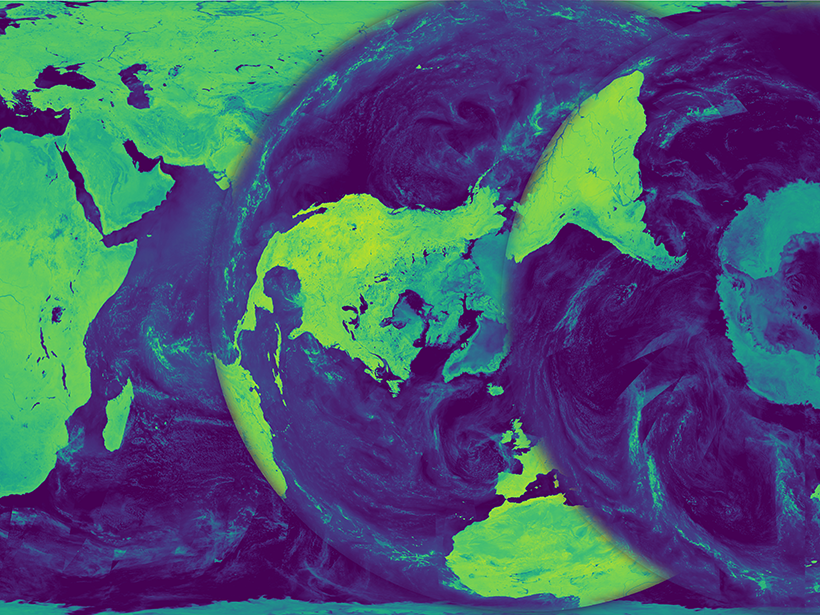
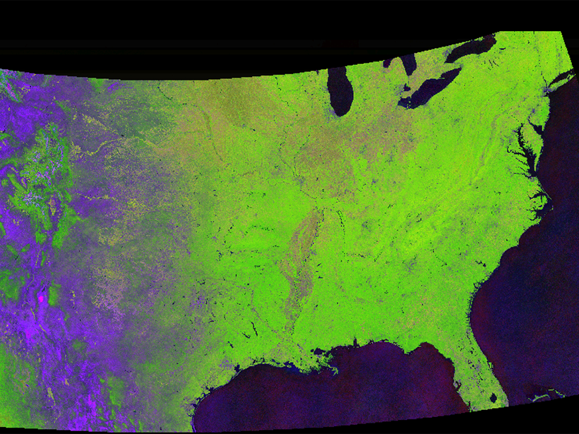
Microwave brightness temperature maps derived from satellite data.
Posted inScience Updates

Bringing Earth's Microwave Maps into Sharper Focus

by A. C. Paget, M. J. Brodzik, D. G. Long and M. A. Hardman 21 December 201631 March 2023

New processing capabilities improve the spatial resolution of satellite microwave data, enabling scientists to analyze trends in coastal regions and marginal ice zones.

A partial frame from a movie showing land cover change across the United States, created by Descartes Labs.
Posted inNews

Tracking Global Change with a Cloud-Based Living Atlas

Aaron Sidder, freelance science writer by Aaron Sidder 19 December 20165 September 2023

With their feet in the cloud, Descartes Labs is pushing the limit of how we study the Earth with satellite images.

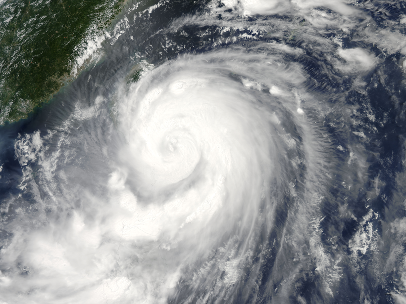
Researchers analyze the small physical processes in Typhoon Matmo
Posted inResearch Spotlights

Reading Raindrops: Microphysics in Typhoon Matmo

Leah Crane by L. Crane 9 December 20163 February 2022

Quantitative predictions about tropical storms require an understanding of even their smallest physical processes. A new study observes unusual microphysics in 2014's Typhoon Matmo.

GOES-R
Posted inNews

First of Next Generation of U.S. Weather Satellites Hits the Sky

JoAnna Wendel, freelance science writer and illustrator by JoAnna Wendel 23 November 201626 October 2021

The novel spacecraft and three sister satellites to follow are expected to vastly improve storm forecasting.

The movement of the Gulf Stream has big impacts on ocean mixing and heat transport off the East Coast of the U.S.
Posted inResearch Spotlights

Gulf Stream Destabilization Point Is on the Move

Sarah Stanley, Science Writer by Sarah Stanley 8 November 201620 July 2022

Westward migration of the wavelike Gulf Stream pattern could have big effects on ocean mixing and heat transport off the U.S. East Coast.

A surfer shares his wave with a flurry of marine debris fragments.
Posted inScience Updates

Developing a Remote Sensing System to Track Marine Debris

by N. Maximenko, Y. Chao and D. Moller 25 October 20163 February 2023

Workshop on Mission Concepts for Marine Debris Sensing; Honolulu, Hawaii, 19–21 January 2016

An image taken from an ever-changing online display by Global Fishing Watch of commercial fishing activity worldwide.
Posted inNews

Online Tracking of Ships Fights Illegal Fishing Worldwide

by Randy Showstack 12 October 201618 March 2022

The system currently follows and records the movements of more than 35,000 large fishing vessels globally to bring transparency to commercial fishing activities.

Disaster response team rescues flood victims
Posted inScience Updates

Flood Response Using Earth Observation Data and Products

by G. J.-P. Schumann 12 October 20163 June 2022

NASA Flood Response Workshop; Greenbelt, Maryland, 14–16 June 2016

Soldiers search for survivors following rainfall-triggered landslides in Hiroshima, Japan, on 20 August 2014.
Posted inNews

Tracking Landslide Hazards Around the World, Pixel by Pixel

Aaron Sidder, freelance science writer by Aaron Sidder 6 October 201610 February 2023

Combining satellite precipitation measurements and remotely sensed environmental data, a new system aims to improve landslide awareness and preparedness in all corners of the globe.

Remote sensing experts testify at a 7 September hearing of a subcommittee of the House Committee on Science, Space, an Technology.
Posted inNews

Remote Sensing Regulations Come Under Congressional Scrutiny

by Randy Showstack 14 September 201624 April 2023

Republicans accused the administration of dragging its feet on recommending policy revisions. A federal advisory committee has a November deadline to provide recommendations.

Posts pagination

Newer posts 1 … 28 29 30 31 32 … 37 Older posts
A view of a Washington, D.C., skyline from the Potomac River at night. The Lincoln Memorial (at left) and the Washington Monument (at right) are lit against a purple sky. Over the water of the Potomac appear the text “#AGU24 coverage from Eos.”

Features from AGU Publications

Research Spotlights

Global Climate Models Need the Nitrogen Cycle—All of It

30 October 202530 October 2025
Editors' Highlights

New Evidence for a Wobbly Venus?

29 September 202525 September 2025
Editors' Vox

Publishing Participatory Science: The Community Science Exchange

20 October 202517 October 2025
Eos logo at left; AGU logo at right

About Eos
ENGAGE
Awards
Contact

Advertise
Submit
Career Center
Sitemap

© 2025 American Geophysical Union. All rights reserved Powered by Newspack