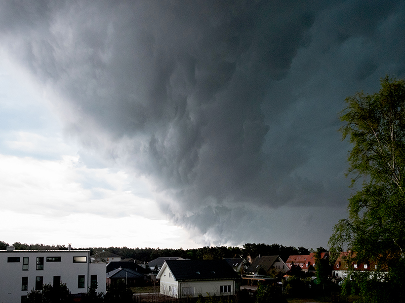
Scientists tracked the distribution of raindrops of different sizes as a row of thunderstorms formed by a cold front developed and intensified over eastern China.
remote sensing

Posted inNews
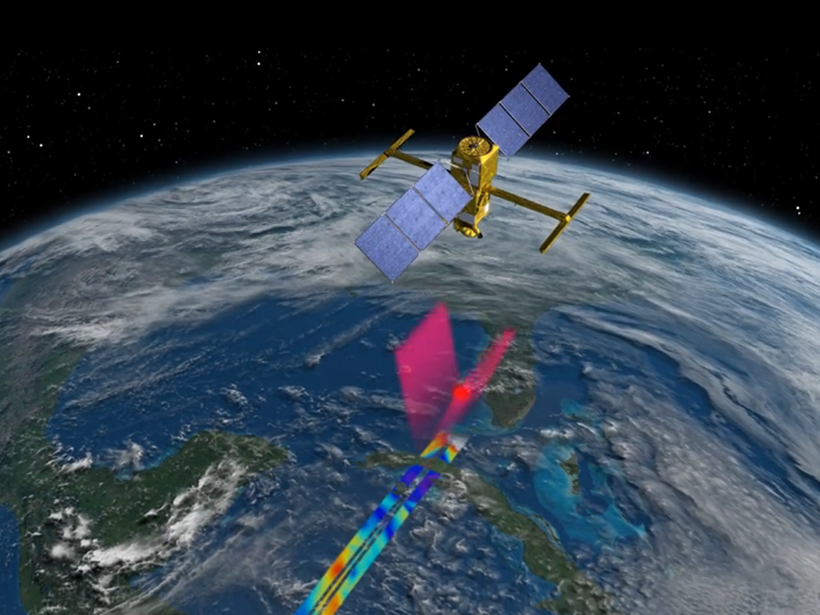
Satellite Quantifies Carbon Dioxide from Coal-Fired Power Plants
Using data from NASA’s Orbiting Carbon Observatory 2 satellite, researchers measured emissions of the greenhouse gas from individual coal plants in the United States, India, and South Africa.

Posted inResearch Spotlights
A New Baseline to Monitor Earth’s Dynamic Surface
Researchers devise a new mathematical approach to combine space- and ground-based observations into an alternative reference frame for monitoring the changing positions of Earth’s features.
Posted inScience Updates
Putting Satellite Maps of Surface Water to Practical Use
2nd SWOT Application User Workshop: Engaging the User Community for Advancing Societal Applications of the Surface Water Ocean Topography (SWOT) Mission, Reston, Virginia, 5–6 April 2017
Posted inEditors' Vox
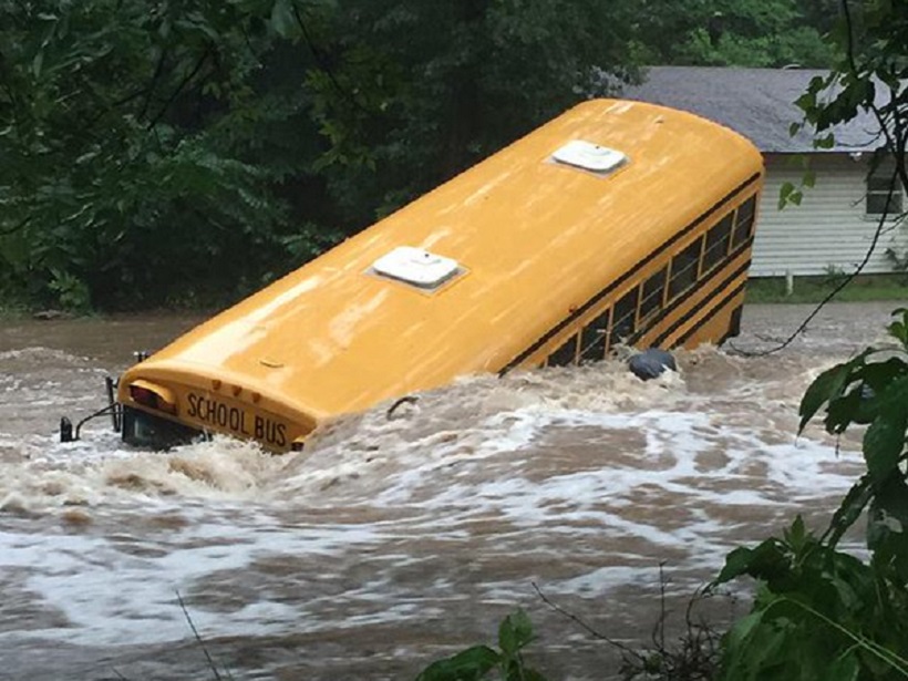
In Pursuit of Flash Flood Data
How remote sensing of streams provides valuable data for the characterization, prediction, and warning of impending flash floods.

Posted inScience Updates
Giovanni: The Bridge Between Data and Science
Using satellite remote sensing data sets can be a daunting task. Giovanni, a Web-based tool, facilitates access, visualization, and exploration for many of NASA’s Earth science data sets.
Posted inResearch Spotlights
On-the-Ground Measurements Overestimate Earth’s Albedo
Weather stations can be used to calibrate and validate albedo measurements from satellites, but they fail to account for variability across landscapes, overestimating how reflective our planet is.

Posted inNews
Satellite Observations Could Help Forecast an Eruption’s End
Researchers studying past volcanic activity found they could retrospectively predict when outflows of molten rock would cease for about 40% of effusive eruptions, the kind that produces flowing lava.

Posted inScience Updates
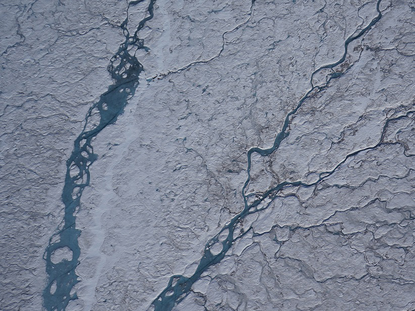
Tracking River Flows from Space
Satellite observations, combined with algorithms borrowed from river engineering, could fill large gaps in our knowledge of global river flows where field data are lacking.

Posted inScience Updates
Cities Partner to Prepare for Natural Hazards and Climate Change
NASA-Rio-UCCRN Workshop on Sea Level Rise, Urban Heat Islands, and Water Quality; New York, 14–16 November 2016