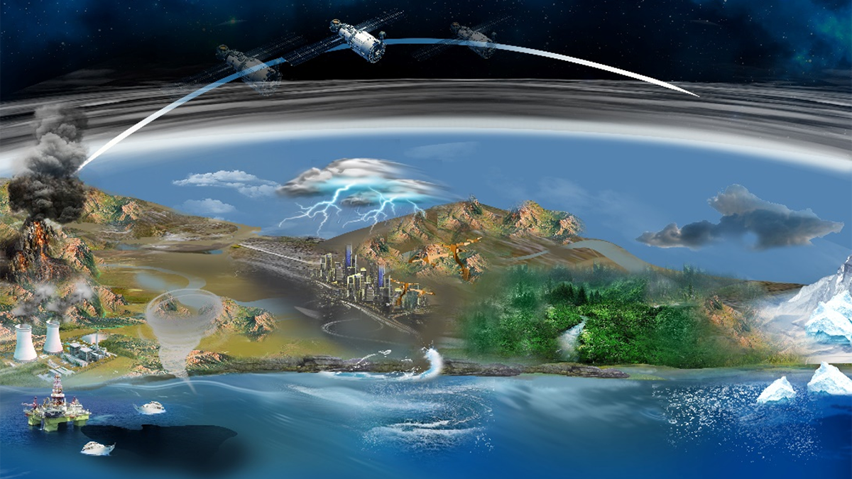
Due to its unique ability to monitor Earth’s surface, Synthetic Aperture Radar plays a pivotal role in revolutionizing the geosciences.
satellite imagery
Posted inScience Updates
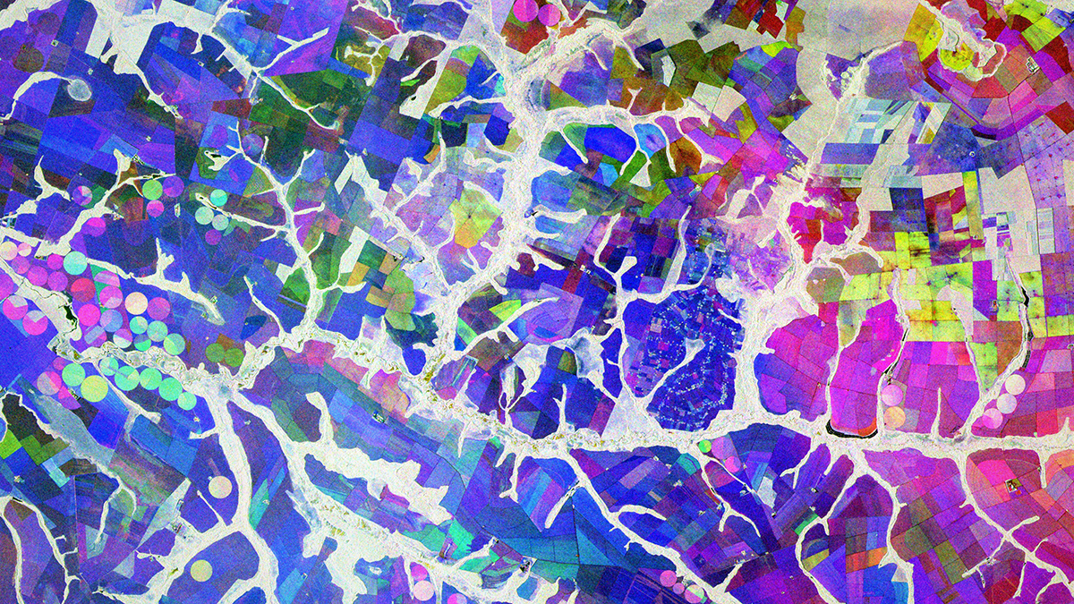
A Cloud-Based Solution to a Radar Data Deluge
An open-science tool built to support NASA missions is making synthetic aperture radar, once the domain only of subject matter experts, more accessible for nonspecialists and real-world applications.
Posted inNews
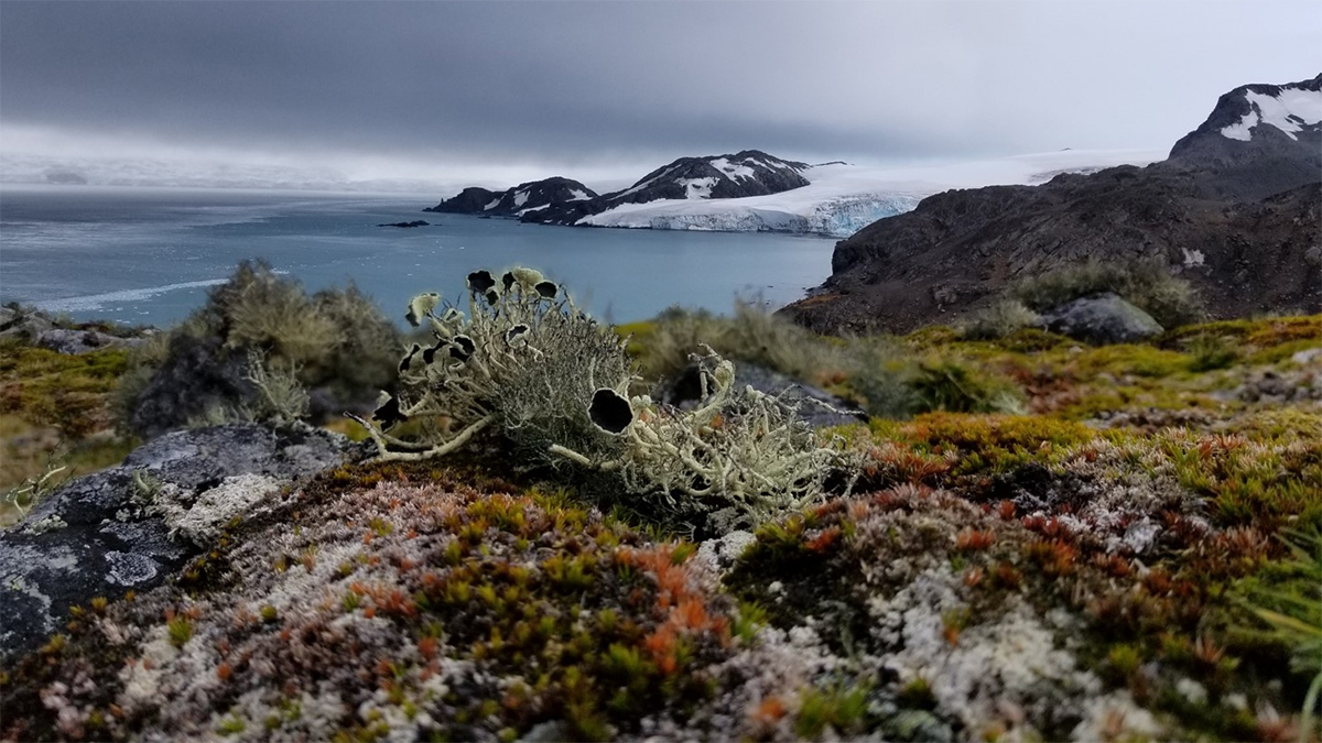
New Map Reveals the Extent of Vegetation in Antarctica
More than 40 square kilometers of vegetation cover Antarctica, including in previously unknown areas. A new map offers fresh insights for conservation amid climate change.
Posted inEditors' Highlights
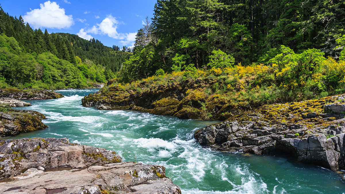
As the River Flows the Colors Sparkle
Diving into the science behind river color and its relationship with flow.
Posted inThe Landslide Blog
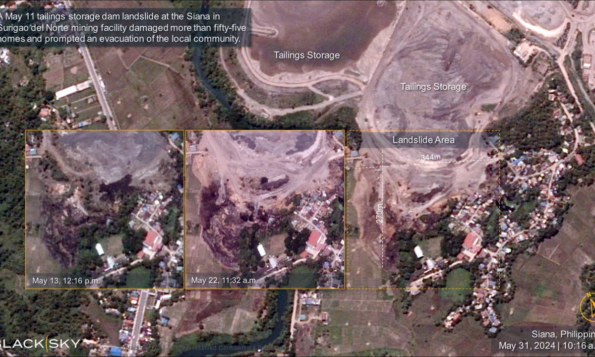
New satellite imagery of the 11 May 2024 tailings failure at Siana in Surigao del Norte, Philippines
The Landslide Blog is written by Dave Petley, who is widely recognized as a world leader in the study and management of landslides. Just under a month ago, I wrote about the tailings failure at the Siana gold mine in Surigao del Norte, Philippines. Capella Space captured good radar imagery of the site. We now […]
Posted inThe Landslide Blog
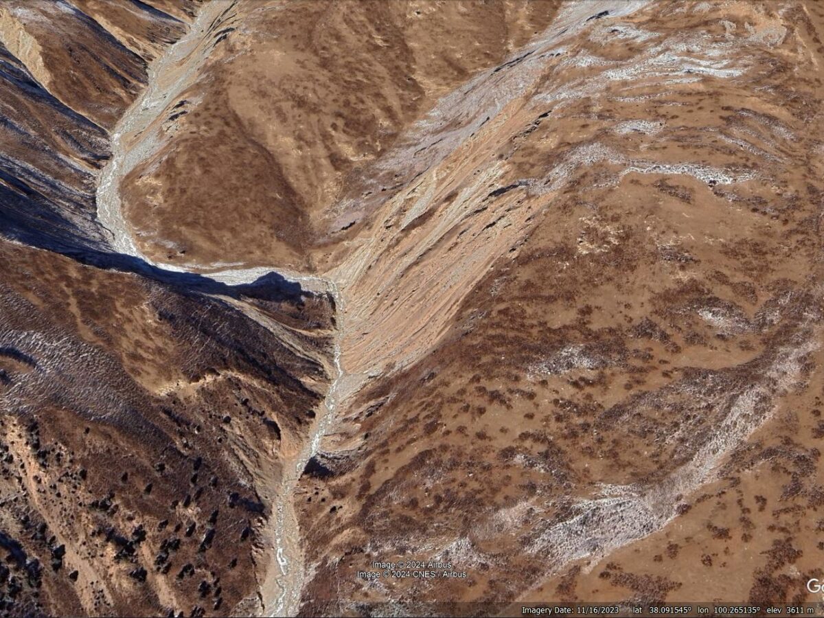
The 22 July 2021 Xiao Dongsuo debris flow on the Tibetan Plateau
The Landslide Blog is written by Dave Petley, who is widely recognized as a world leader in the study and management of landslides. Debris flows in arid and semi-arid areas are less common than in more humid environments, but they can have devastating consequences. There has been considerably less research into these processes than might […]

Posted inEditors' Vox
Challenges in Measuring Aerosol Cloud-Mediated Radiative Forcing
Satellites are required for the global measurement of aerosol cloud-mediated radiative forcing, but satellite retrievals of aerosols and cloud properties still have challenges to overcome.
Posted inEditors' Highlights
New Insights on Atmospheric Waves from the Hunga Volcanic Eruption
High temporal resolution geostationary imagery reveals new details of atmospheric waves generated by the January 2022 Hunga volcanic eruption and provides a chronology of the eruption sequence.

Posted inResearch Spotlights
Urban Nature Is Often Plentiful but Inaccessible
A novel research framework deepens understanding of urban nature accessibility and highlights progress toward green space goals.

Posted inNews
Iceland’s Recent Eruptions Driven by Tectonic Stress
Magma flow in the magmatic dike near Grindavík was among the fastest recorded. The processes driving that flow could be at play at volcanoes in Hawaii, off the African coast, and anywhere crustal plates split apart.