
Landsat’s new extended data collection program is mapping Arctic and Antarctic regions year-round, even in polar twilight.
satellite imagery

Posted inENGAGE, News
Amateur Astronomer Finds a Possible Crater on Io
The most volcanically active body in the solar system may have an impact crater, a discovery spotted by a curious nonprofessional scientist.
Posted inNews
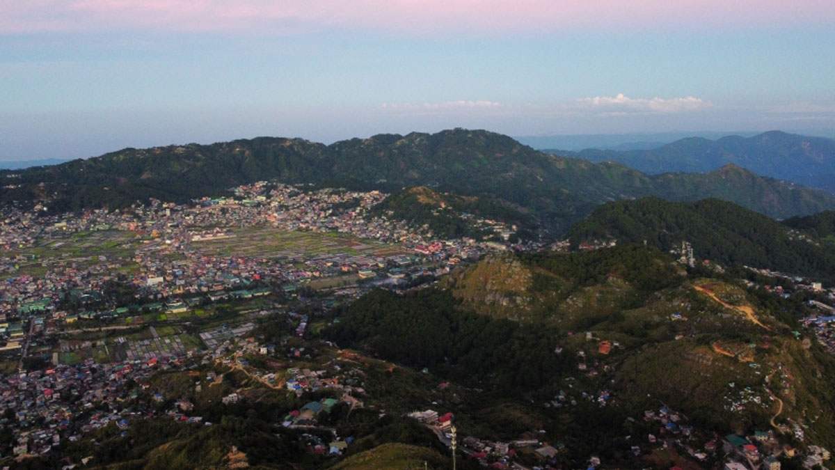
Shallower Clouds Hang More Often over Lost Forests
Two decades of satellite data show that deforestation in Southeast Asia has led to widespread low-lying clouds that might affect regional climate.

Posted inNews
Sinking Cities and Rising Waters
Climate-driven sea level rise combines with land subsidence in some of Africa’s fastest-growing cities.

Posted inThe Landslide Blog
Active deformation around South Lhonak lake in Sikkim, India
The Landslide Blog is written by Dave Petley, who is widely recognized as a world leader in the study and management of landslides. In recent days, the dedicated group of landslide scientists that tries to understand large events has been focused on the dreadful Glacial Lake Outburst Flood (GLOF) that caused such high levels of […]

Posted inResearch Spotlights
James Webb Space Telescope Captures Saturn’s Changing Seasons
Unprecedented images reveal how Saturn’s atmosphere is evolving as summertime winds down in its northern hemisphere.

Posted inNews
Winds Clear Sea Ice Through Fertile Arctic Waters
The North Water polynya might not be as dependent on a sea ice bridge as previously thought, but not everyone is convinced.

Posted inResearch Spotlights
Mapping Beaver Dams with Machine Learning
A new model deploys a neural network to spot beavers’ engineering exploits in aerial and satellite imagery, an approach that should aid studies of ecosystem and landscape change.

Posted inNews
Tiny Martian Moon May Be a Chip Off the Old Block
A close approach to Deimos reveals that its surface does not look like that of an asteroid, hinting at a Martian origin.
Posted inNews
Imágenes de satélite revelan que los paisajes urbanos generan nubes
Los cielos cubriendo las ciudades de los EE.UU. tienen más nubes que las áreas que las rodean.