• About
  • Special Reports
  • Topics
    • Climate
    • Earth Science
    • Oceans
    • Space & Planets
    • Health & Ecosystems
    • Culture & Policy
    • Education & Careers
    • Opinions
  • Projects
    • Postcards From the Field
    • ENGAGE
    • Editors’ Highlights
    • Editors’ Vox
    • Eos en Español
    • Eos 简体中文版
    • Print Archive: 2015–2025
  • Policy Tracker
  • Blogs
    • Research & Developments
    • The Landslide Blog
  • Newsletter
  • Submit to Eos
  • AGU.org
  • Career Center
  • Join AGU
  • Give to AGU
  • About
  • Special Reports
  • Topics
    • Climate
    • Earth Science
    • Oceans
    • Space & Planets
    • Health & Ecosystems
    • Culture & Policy
    • Education & Careers
    • Opinions
  • Projects
    • Postcards From the Field
    • ENGAGE
    • Editors’ Highlights
    • Editors’ Vox
    • Eos en Español
    • Eos 简体中文版
    • Print Archive: 2015–2025
  • Policy Tracker
  • Blogs
    • Research & Developments
    • The Landslide Blog
  • Newsletter
  • Submit to Eos
Skip to content
  • AGU.org
  • Career Center
  • Join AGU
  • Give to AGU
Eos

Eos

Science News by AGU

Support Eos
Sign Up for Newsletter
  • About
  • Special Reports
  • Topics
    • Climate
    • Earth Science
    • Oceans
    • Space & Planets
    • Health & Ecosystems
    • Culture & Policy
    • Education & Careers
    • Opinions
  • Projects
    • Postcards From the Field
    • ENGAGE
    • Editors’ Highlights
    • Editors’ Vox
    • Eos en Español
    • Eos 简体中文版
    • Print Archive: 2015–2025
  • Policy Tracker
  • Blogs
    • Research & Developments
    • The Landslide Blog
  • Newsletter
  • Submit to Eos

seismology

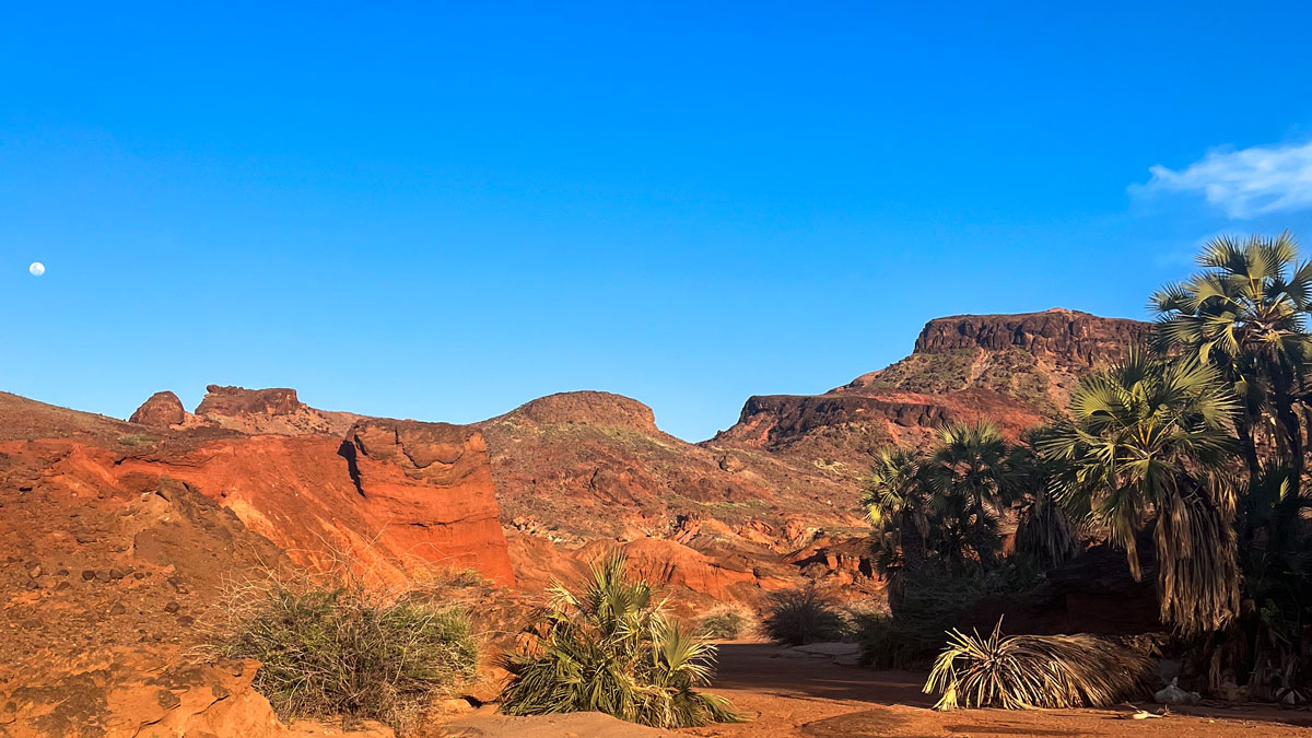
A mountainous desert on a clear day. Red-orange dirt and rocks dominate the near ground, along with palms and desert plants, with a clear blue sky and gibbous Moon above.
Posted inNews

Eastern Africa Is Splitting Apart, but Not Where We Expected

Kimberly M. S. Cartier, News Writing and Production Intern for Eos.org by Kimberly M. S. Cartier 12 May 20261 June 2026

The Turkana Rift Zone in Kenya entered a critical stage in continental breakup about 4 million years ago.
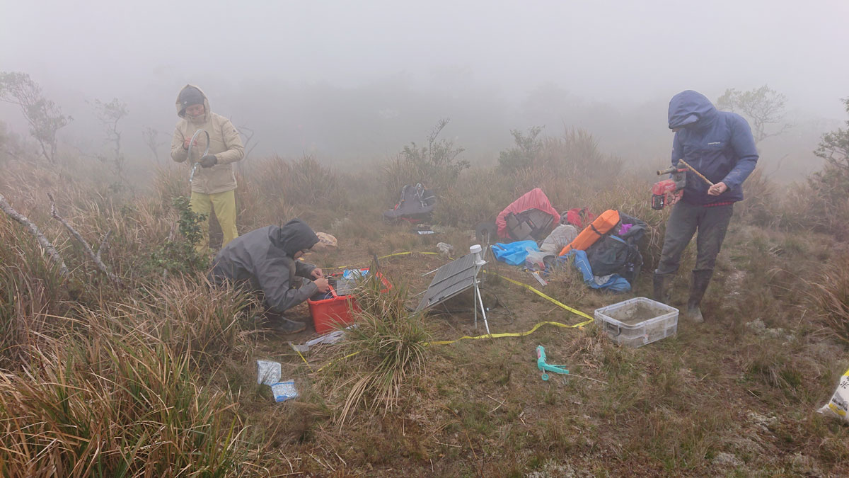
Three researchers huddle around camping equipment and scientific instruments in a grassy area on a foggy day.
Posted inResearch Spotlights

Seismic Attenuation Techniques Reveal What Lies Beneath Taiwan

by Nathaniel Scharping 11 May 202624 June 2026

A new imaging modality explores the complex subduction‐collision transition zone below southern Taiwan.

Seattle’s Space Needle is seen at dusk, with mountains and an orange sky in the background.
Posted inNews

On the Seattle Fault, the Biggest Quakes Aren’t the Most Likely

by Rebecca Dzombak 14 April 20261 May 2026

Smaller quakes from secondary faults—which are not included in national seismic hazard modeling—occur more frequently than previously thought.
Posted inEditors' Highlights

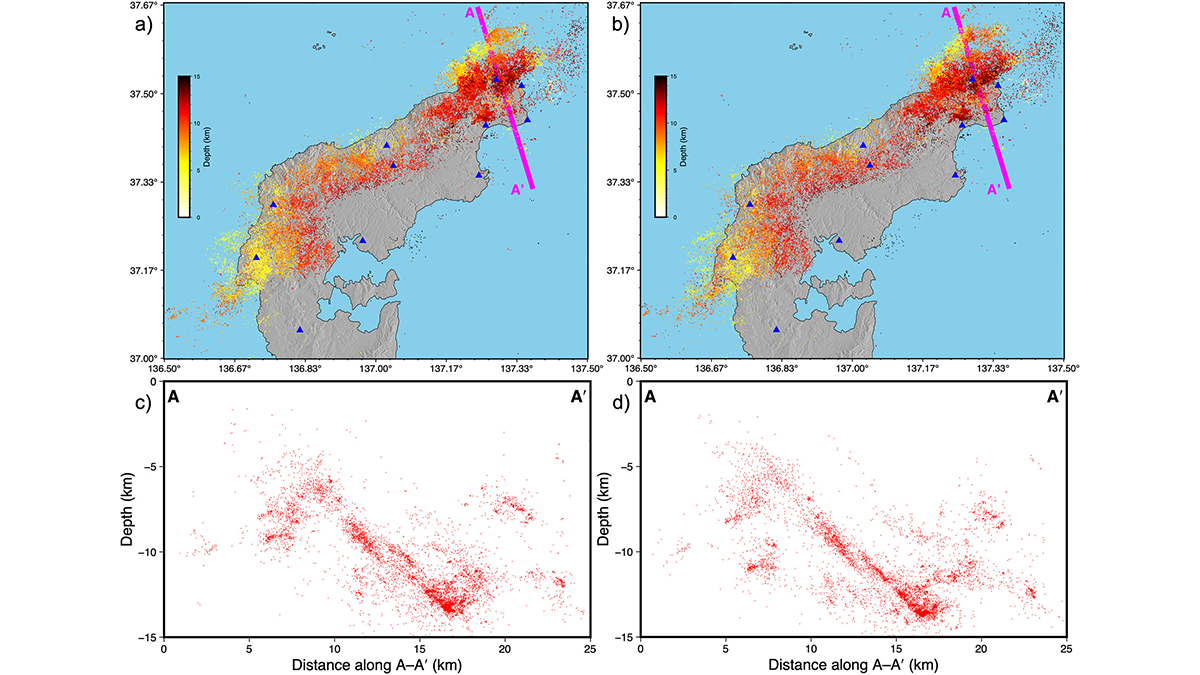
Taming the Seismicity Tsunami with a Scalable Bayesian Framework

by Hsin-Hua Huang 7 April 20261 May 2026

By combining the power of artificial intelligence with advanced physics simulations, a new framework called “SPIDER” allows us to map seismic activity with unprecedented clarity.
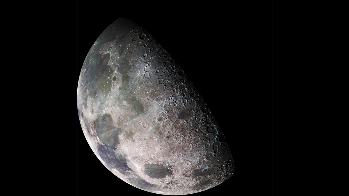
Photo of the Moon.
Posted inEditors' Highlights

Using Distributed Acoustic Sensing (DAS) to Improve Lunar Seismic Monitoring

by Kristy Tiampo 6 April 20261 May 2026

With the appropriate cable selection and deployment, unburied DAS is a viable technique for lunar seismic applications, enabling large-scale measurements without complex installation procedures.

4 thin sections from the study.
Posted inEditors' Highlights

Long-Term and Recent Activity of the Brenner Fault Finally Reconciled

by Maria Giuditta Fellin 19 March 202619 March 2026

A novel application of an established dating method, namely electron spin resonance, provides constraints on the timing and relative movements of the Brenner Fault walls during the Quaternary.

A flowchart.
Posted inEditors' Highlights

Collinearity is Not Always a Problem in Machine Learning

by Cedric John 10 March 20269 March 2026

Collinearity is not always a showstopper for statistical machine learning (at least not for self-organizing maps).

A map showing continental mantle earthquakes around the world.
Posted inNews

Scientists Create the First Map of Deep Earthquakes Beneath Continents

by Larissa G. Capella 5 March 20265 March 2026

Scientists once thought Earth’s continental mantle was too weak for earthquakes. A new global map of 459 deep tremors suggests otherwise.

Seven people pose for a photo on an icy field with a mountain in the background on a sunny day. The man in the middle gives a thumbs-up.
Posted inNews

These South Pole Seismometers Will Detect Vibrations 1.5 Miles Under the Ice

by Grace van Deelen 23 February 20261 June 2026

The instruments will freeze into Antarctica’s ice sheet, where they will collect detailed, global-scale seismic data.

Photomicrographs
Posted inEditors' Highlights

Kyanite Exsolution Reveals Ultra-Deep Subduction of Continents

by Jun Tsuchiya and Sujoy Ghosh 23 January 202622 January 2026

Laboratory experiments provide the first experimental evidence that continental rocks can be subducted to depths greater than 300 kilometers and return to the surface.

Posts pagination

Newer posts 1 2 3 4 … 31 Older posts
Over a dark blue-green square appear the words Special Report: The State of the Science 1 Year On.

Features from AGU Publications

Research Spotlights

Io’s Hidden Heat Revealed for the First Time

24 July 202623 July 2026
Editors' Highlights

Redesigning Farmland Through Community Collaboration in California

22 July 202621 July 2026
Editors' Vox

Why Healthy Soils Matter More Than Ever

22 July 202622 July 2026
Eos logo at left; AGU logo at right

About Eos
ENGAGE
Awards
Contact

Advertise
Submit
Career Center
Sitemap

© 2026 American Geophysical Union. All rights reserved Powered by Newspack