
A new method to evaluate deep aquifers shows even torrential rains haven’t fully replenished groundwater beneath Los Angeles.
solutions

Posted inOpinions
Deep Groundwater Might Be a Sustainable Solution to the Water Crisis
Scientists are finding fresh groundwater buried deep underground, but questions remain about the scale of these resources, how they’re resupplied, and whether they can be used sustainably.
Posted inScience Updates
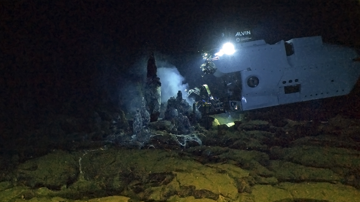
An Upgraded Alvin Puts New Ocean Depths Within Reach
The newly retooled submersible, which has already returned fascinating new findings from Earth’s watery depths, is opening more of the deep ocean to direct human exploration.

Posted inNews
Improving Earthquake Early Warning Access for the Deaf Community
Earthquake early warning systems are rarely accessible to people who are deaf or hard of hearing. A group of scientists is working to change that.
Posted inScience Updates
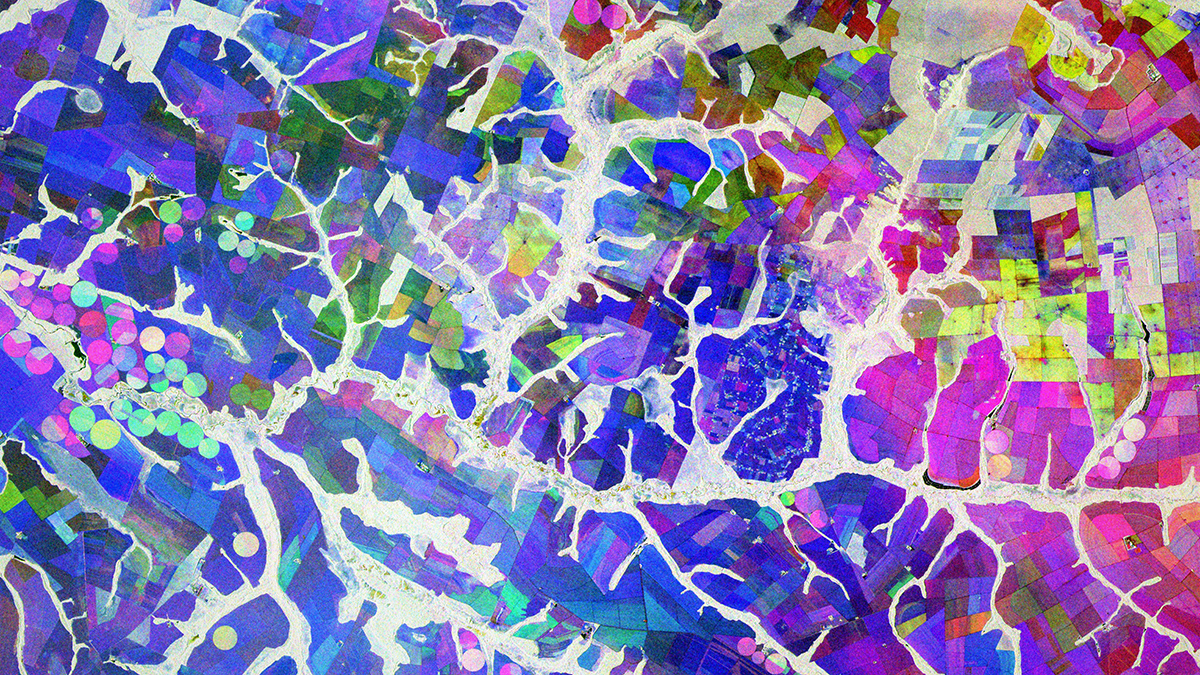
A Cloud-Based Solution to a Radar Data Deluge
An open-science tool built to support NASA missions is making synthetic aperture radar, once the domain only of subject matter experts, more accessible for nonspecialists and real-world applications.

Posted inNews
A Fuller Great Salt Lake Would Likely Narrow an Environmental Health Gap
Pacific Islander and Hispanic residents of Salt Lake City would benefit most from higher lake levels and reduced dust pollution.
Posted inOpinions
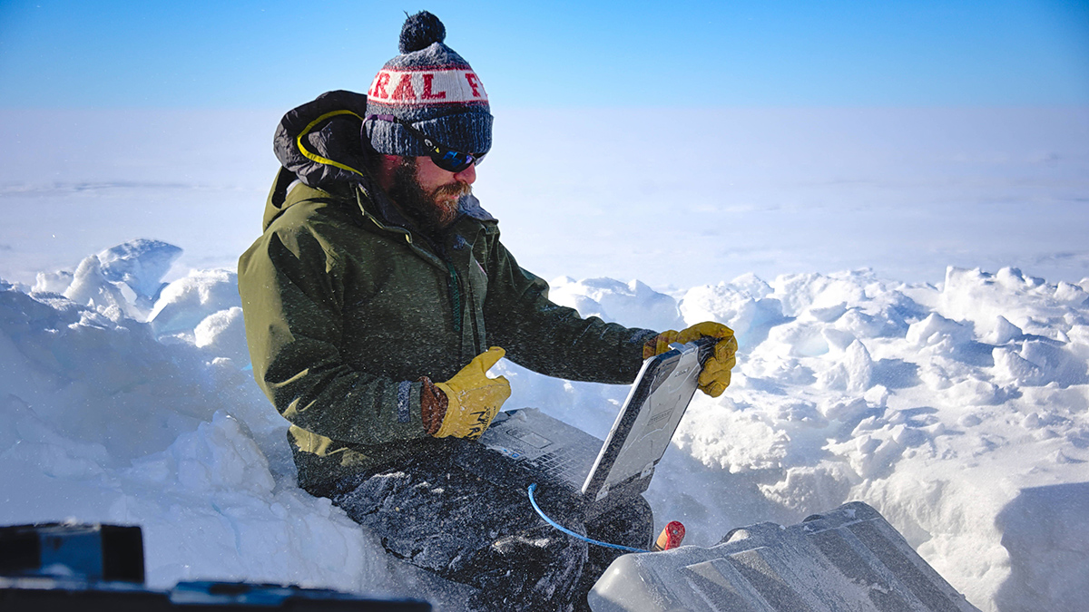
Democratizing Science in the Cloud
CryoCloud opens scientific research and education to a broader range of cryosphere researchers with a cloud-based interactive computing environment, training, and community support.

Posted inFeatures
Sensing Remote Realms of the Deep Ocean on Earth—and Beyond
A novel laser-equipped probe is collecting measurements of deep-sea geochemical environments that once seemed impossible to gather, pointing the way toward future explorations of other ocean worlds.

Posted inNews
U.S. Earthquake Early Warning System Gets a Major Upgrade
Satellite capabilities will improve the accuracy of ShakeAlert earthquake magnitude measurements.

Posted inFeatures
Devon Parfait: Using Earth Science to Support Coastal Residents
At every step of his career, a coastal resilience expert has worked to protect his community.