
A new analysis of flood exposure shows many residential buildings at risk as sea levels rise.
tsunamis & storm surges

Posted inResearch Spotlights
Tsunami Sands Help Scientists Assess Cascadia Earthquake Models
With evidence from new sediment cores, researchers tested the performance of various models of the 1700 CE megathrust earthquake.
Posted inResearch Spotlights
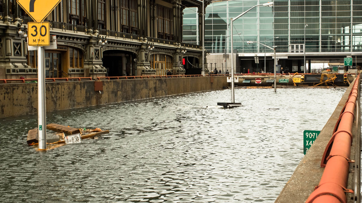
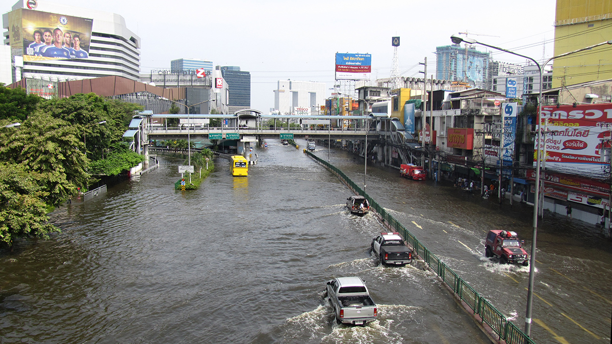
Alerting Communities to Hyperlocalized Urban Flooding
A high-accuracy, low-cost sensor network may change the way urban floods are detected and monitored.
Posted inThe Landslide Blog
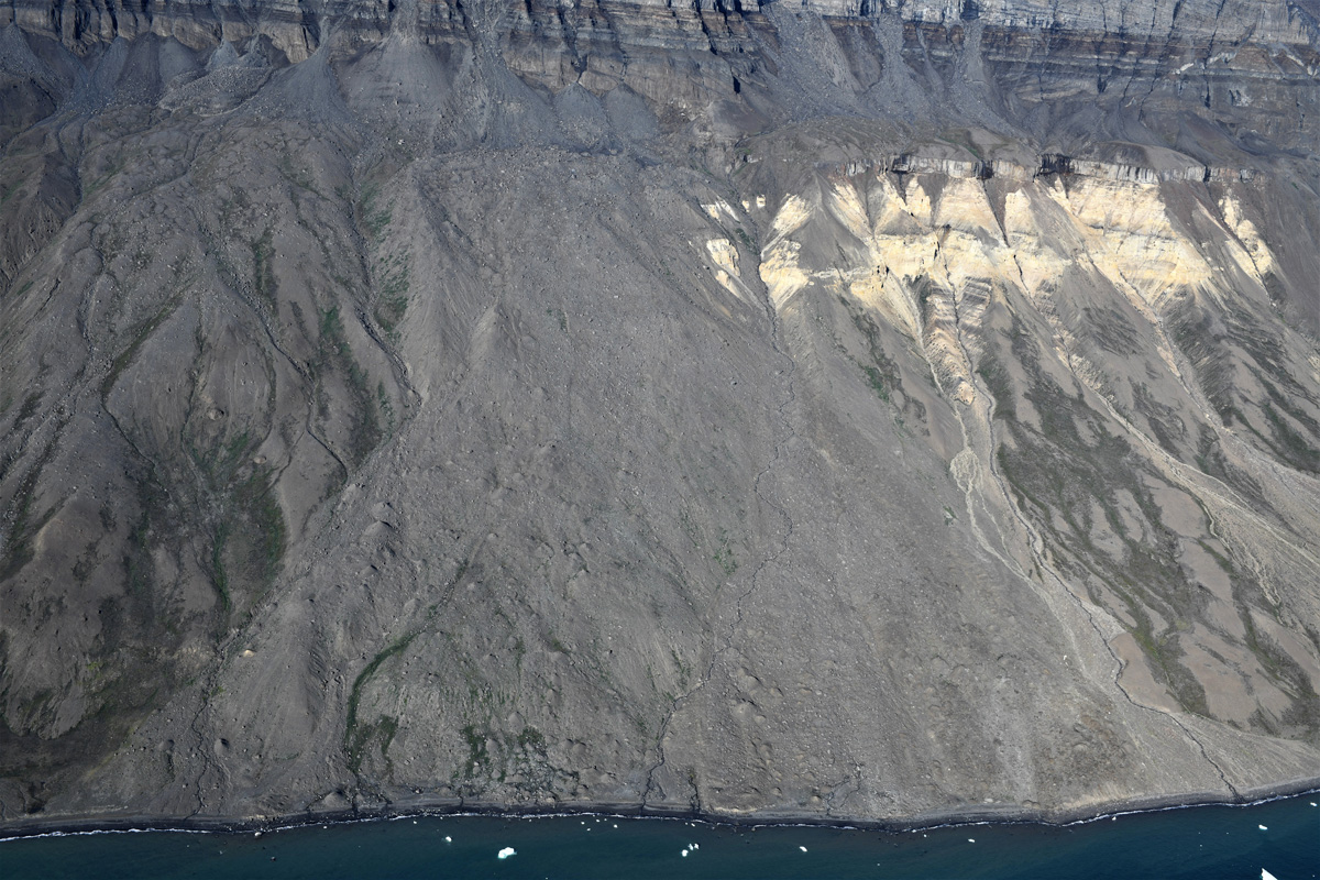
Giant landslides in the Vaigat strait in Greenland
The Landslide Blog is written by Dave Petley, who is widely recognized as a world leader in the study and management of landslides. A fascinating and important open access paper has just been published in the journal Geology (Svennevig et al. 2023) that seeks to understand the generation of tsunami waves in high latitude fjord […]

Posted inThe Landslide Blog
A landslide triggered the 1650 tsunamigenic eruption of Kolumbo in the Aegean Sea
The Landslide Blog is written by Dave Petley, who is widely recognized as a world leader in the study and management of landslides. In 1650, a destructive tsunami occurred in the Aegean Sea, which is an embayment of the Mediterranean sea, located between the modern Greece to the west and Turkey to the east. There […]
Posted inNews
Paleostorm Chasers Test a New Detection Tool
A method typically used to date sediments shows promise for documenting tropical storms through history—information needed for future projections of storm activity.
Posted inNews
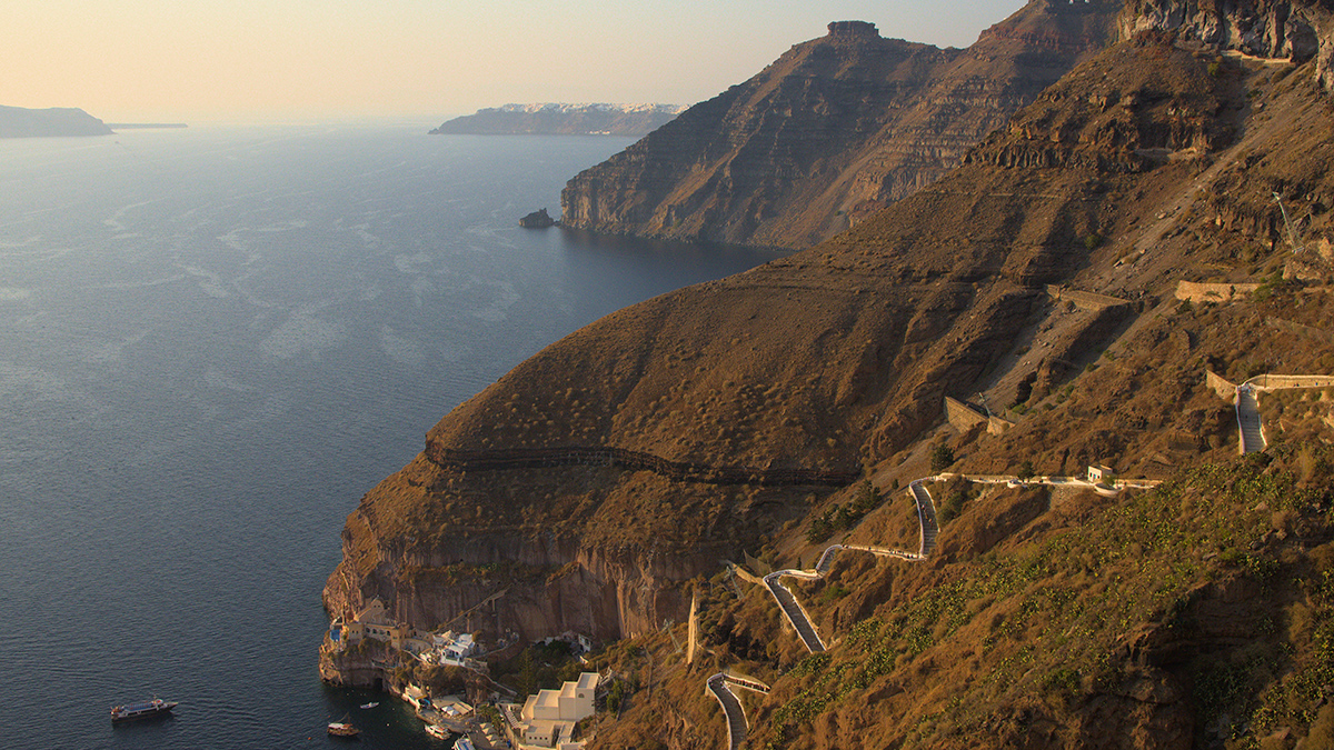
Decoding an Ancient Tsunami from the Ground Up
The seafloor around Santorini is helping scientists investigate forces behind the devastating Minoan tsunami.

Posted inFeatures
Hig Higman: Trekking Across the Last Frontier on the Hunt for Geohazards
Higman specializes in human-powered research expeditions in Alaska’s epic landscape.
Posted inENGAGE, News
A 1952 Landslide Hints at Early Permafrost Thaw in the Arctic
Scientists took a deeper look at a 70-year-old slide and found that climate change likely set the stage for the disaster.

Posted inNews
Social Media Posts Reveal Human Responses to Deadly Tongan Eruption
Quantifying human responses to natural disasters could improve preparation for future threats, scientists say.