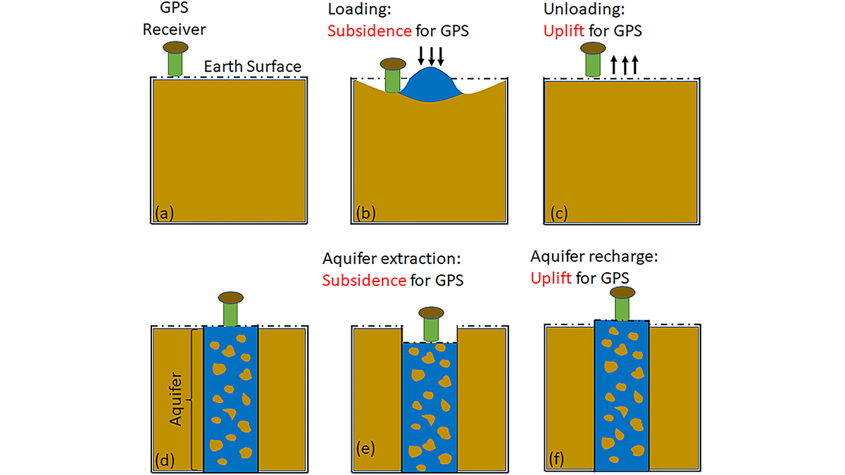
By exploiting the fact that changes in groundwater cause deformations of the Earth’s surface, GPS receivers are used to detect groundwater changes related to extreme events and to seasonal oscillations.
water supply
Posted inNews
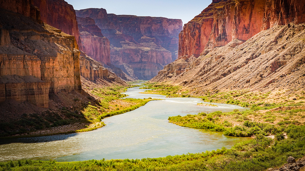
Ten Rivers Facing Pollution, Development, and Climate Change—And Policies That Can Help
An annual report highlights 10 waterways that have arrived at forks: where public support could determine whether they receive protection.

Posted inENGAGE, News
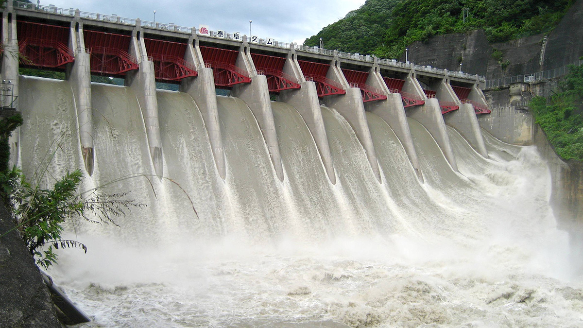
Urban Water Conservation Success in the Colorado River Basin
In the past few decades, cities in Arizona, Colorado, and Nevada have vastly increased their water use efficiency. They’ve also learned lessons that can inform other cities’ efforts.

Posted inEditors' Highlights
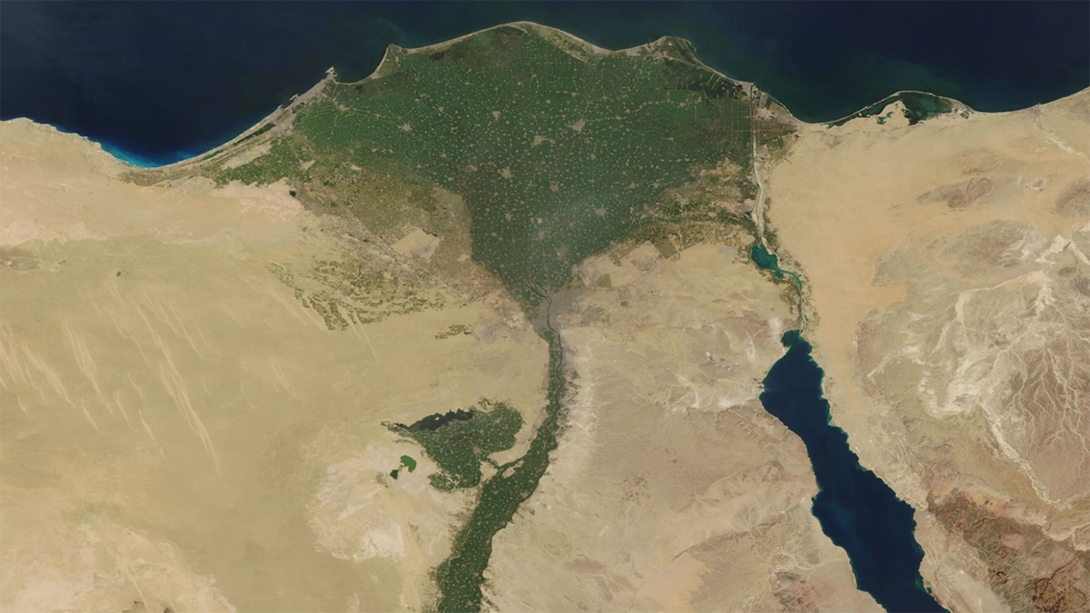
Tracking Heavy Metal Accumulation in the Nile Delta
Sediment measurements show that flow alterations and discharges are driving increasing concentrations of multiple heavy metals in the Nile Delta, threatening ecosystems, agriculture, and human health.
Posted inEditors' Highlights
Suivie de l’accumulation des métaux lourds dans le Delta du Nil
Les analyses de sédiments montrent que la réutilisation de l’eau non traitée et la construction de barrages entraînent l’augmentation des concentrations de métaux lourds dans le Delta du Nil, menaçant gravement les écosystèmes, l’agriculture et la santé humaine.
Posted inResearch Spotlights
El agua subterránea se repone mucho más rápido de lo que pensaban los científicos
Un nuevo modelo basado en el clima indica que los científicos podrían haber subestimado la importancia del agua subterránea para mantener los ríos y la vida vegetal.

Posted inResearch Spotlights
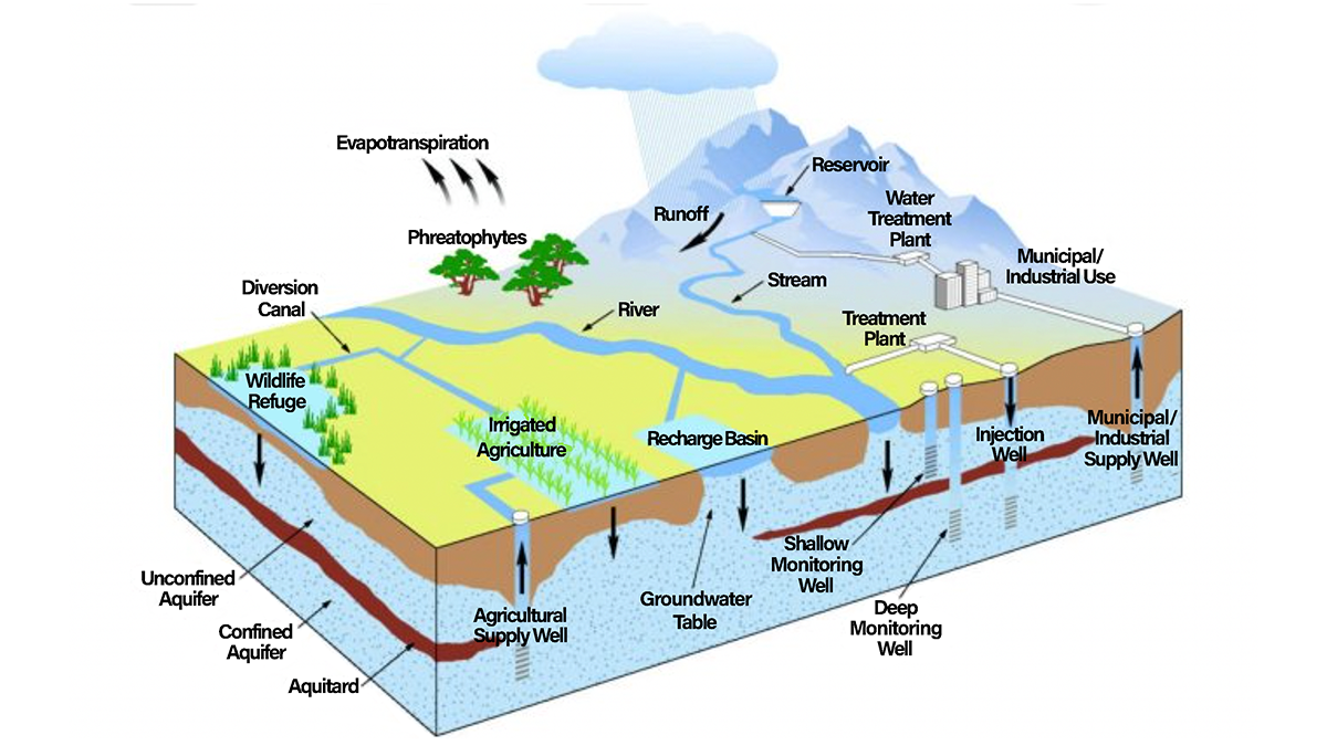
Groundwater Replenishes Much Faster Than Scientists Previously Thought
A new climate-based model indicates that scientists may be underestimating groundwater’s importance in sustaining streams and plant life.


Posted inNews
Reaching New Levels in Groundwater Monitoring
As regions around the world face record-breaking droughts, researchers are using seismology to track groundwater levels and show that sustainable policies reduce strain on aquifers.
Posted inResearch Spotlights
How We’re Reshaping Global Water Storage
Researchers modeled and mapped how eight key aspects of human societies affect hydrological cycles.