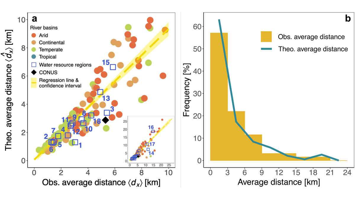
Researchers have developed a new analysis based on a river’s catchment area as opposed its length.
water supply
Posted inResearch Spotlights
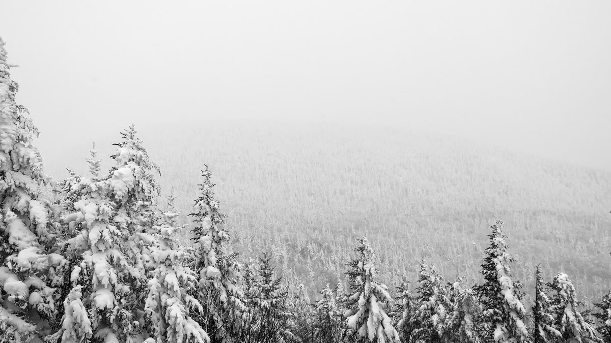
Trees Wearing Accelerometers Help Track Snowstorms
This device allows scientists to measure how much snow is trapped in canopies and predict changes to snowpack—a critical factor in annual water availability.

Posted inResearch Spotlights
Tree Rings Reveal a Puzzling Trend in Monsoon Intensity
Tree rings confirm that in northern Australia, the past 40 years have experienced more rain than any similar length of time in the past 600 years.
Posted inEditors' Highlights
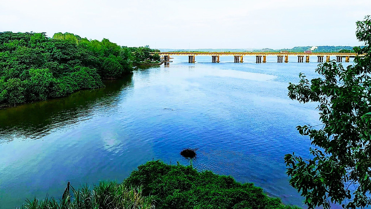
Urbanization and Surface Water Loss Go Together
Mapping surface water loss from satellite data confirms decreases away from urban areas. A simple exponential distance-decay model approximates the impact of urbanization.

Posted inNews
Forest Fires Could Boost Western U.S. Water Supplies
Streamflow in the West has been below average since the early 2000s, but a new analysis shows that streams aren’t as dry as expected.
Posted inNews
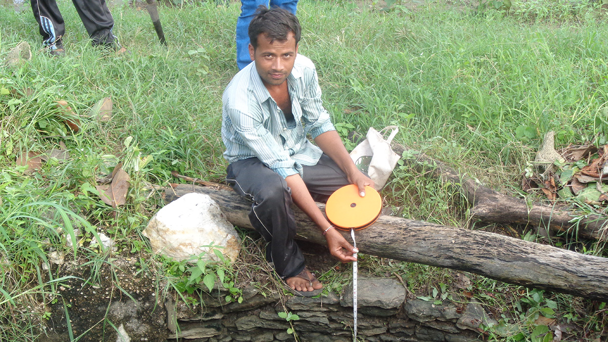
Satellite and on-the-Ground Data Help Monitor Groundwater in India
Village volunteers use remote sensing and manual measurement to help farmers use groundwater more efficiently.

Posted inEditors' Highlights
Managing Strategic Water Resources in a Changing Climate
Another significant step has been taken in methods for managing water resources in the face of climatic changes and other future uncertainties. Dynamic adaptation is becoming a reality.
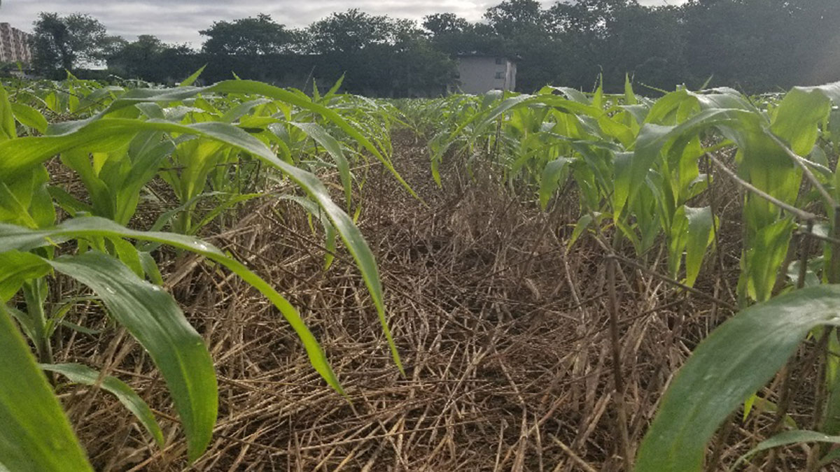
Posted inResearch Spotlights
Modeling Mulch to Understand Agricultural Soil
A new model helps shed light on residue mulch, an important regulator of surface soil conditions.

Posted inNews
Peruvian Farmers Threatened by Water Stress
Two analyses present the Arequipa region as a microcosm of water supply issues facing small-scale agriculture communities.

Posted inFeatures
The Capital’s Waterways Could Be Swimmable by 2030
Scientists, community groups, and the Clean Water Act are behind Washington, D.C.’s massive project to reduce combined sewer overflows by 96%.