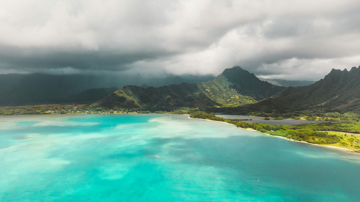

Erupting from the vast blue expanse of the Pacific Ocean, the Hawaiian Islands are some of the most isolated landmasses on the planet. Communities and ecosystems there depend on a reliable climate that replenishes freshwater resources through regular rainfall. Unexpected disruptions can have serious impacts.
New high-resolution data from the Hawaiʻi Climate Data Portal have helped hydrometeorologist Audrey Nash at the University of Hawaiʻi at Mānoa draw new connections between rainfall and the activity of the Madden-Julian Oscillation (MJO), a global pattern of wind and moisture that regularly passes over the Hawaiian Islands.
The MJO’s direct impact on precipitation is understudied, and Nash hopes investigating its influence on climate variables in Hawaii could improve future predictions of rainfall. Nash will present her research on 19 December at AGU’s Annual Meeting 2025 in New Orleans.
“Hopefully, when [the MJO influence] becomes more understood, it could be implemented into 2- to 3-day forecasting,” Nash said.
A New Look at Old Data
The MJO is a global system that forms in the Indian Ocean and drifts eastward across the tropics in 30- to 60-day cycles before dissipating and re-forming at its origin point. During “active” phases of the MJO, winds at the surface of the ocean push moisture upward, creating rainfall. “Suppressed” phases occur when winds in the upper atmosphere converge and push downward, creating dry conditions as cool moisture hits warmer air and evaporates.
With the help of Koa, a cluster of computers that can perform large computations, Nash combined multiple available datasets that included decades of information on temperature, wind, humidity, seasonal variations, and other climate variables across Hawaii in her study of the MJO’s patterns.
Taking these known variations into account with the movement of the MJO, Nash uncovered patterns that could be used to improve forecasts: Rainfall decreased significantly in Hawaii when the MJO entered a suppressed phase over the Indian Ocean, while an active phase of the MJO occurring in the western Pacific led to substantial increases in rainfall.
John Bravender, a meteorologist with NOAA’s National Weather Service who was not involved in the research, wrote in an email that Nash’s conclusions align with the bigger picture of MJO activity illustrated by NOAA’s Climate Prediction Center (CPC).
“The benefit of the local study compared to the CPC maps,” Bravender wrote, “is that it provides details in much greater resolution and was validated against observed rainfall.”
The El Niño–Southern Oscillation (ENSO) is a more well-known system that modifies climate factors related to rainfall in Hawaii, with La Niña phases leading to wetter rainy seasons compared to El Niño phases. Nash also evaluated MJO-related rainfall signals in the context of ENSO and found that the signals remained valid across ENSO phases. Evaluating these oscillations together helps inform understanding of abnormally high or low precipitation events.
Forecasting Anomalies
“This research shows us that we may be able to use [the activity of the MJO] to improve our forecasts and preparedness messages during the wet season as well.”
“We’re used to looking at the MJO phase to help anticipate tropical cyclone development or rapid intensification,” Bravender wrote. “This research shows us that we may be able to use [the activity of the MJO] to improve our forecasts and preparedness messages during the wet season as well.”
Bravender also noted that this forecasting could be especially important to people relying on rainwater catchment systems who must decide to opt in or hold off on expensive water deliveries during periods of drought.
Past rainfall anomalies in Hawaii have had devastating consequences. Flooding in Kauai in 2018 affected more than 500 homes and cost $20 million in public property damages, and extreme drought contributed to the catastrophic Lahaina wildfire in 2023. More accurate forecasting of these extreme swings in rainfall could help improve water resources management and emergency preparation on these geographically remote islands.
—Kari Goodbar, Science Writer