When it comes to landslides, some of our planet’s largest have occurred underwater. But out of sight shouldn’t mean out of mind—submarine landslides can be both damaging and dangerous.
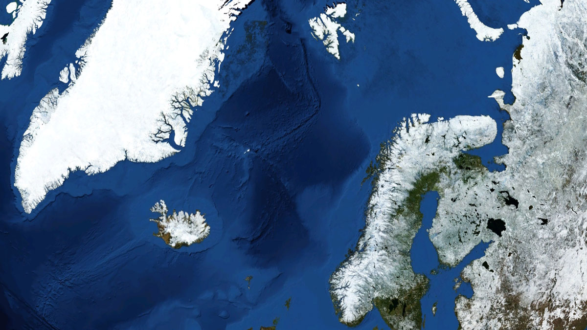
Researchers have now mapped the Stad Slide, an underwater megaslide that occurred in the Norwegian Sea several hundred thousand years ago. Material raining out of ancient glaciers set the stage for this event, and an earthquake might have been the ultimate trigger, the team surmised. And with a smaller nearby landslide known to have created a significant tsunami, the hunt is on for evidence of the waves that the Stad Slide might have unleashed. These results were published in the Journal of Quaternary Science.
Follow the Chaos
In many places around the world, jumbled layers of sediment lurk beneath the seafloor.
“The next best thing is to map these deposits.”
Such sedimentary chaos is evidence of one or more ancient underwater landslides that occurred on a grand scale. Humans have never witnessed such an event, but these megaslides are apt to damage undersea infrastructure like communications cables and trigger tsunami, said Bridget Tiller, a geographer at Newcastle University in the United Kingdom. By studying what’s left behind, it’s possible to better understand these events and potentially prepare for similar ones in the future, she added. “The next best thing is to map these deposits.”
Tiller and her colleagues recently focused on the Stad Slide, which occurred off the coast of Norway roughly 400,000 years ago. It’s one of at least five landslides that took place in the region over the past 3 million years. But given its hidden nature—the deposits of the Stad Slide lie roughly 1 kilometer beneath the seafloor, which is, in turn, capped by several hundred meters of water—it was first identified just a decade ago. That earlier investigation mapped less than 5% of the Stad Slide’s deposits, however.
Contrasting Sediments
Tiller and her team have now mined observations that cover nearly the entirety of this Switzerland-sized megaslide. Those data were collected from 2014 to 2018 by TGS, a company that amasses geological and geophysical data for energy exploration. The observations are seismic reflection data, meaning that they were generated by launching sound waves downward from a ship-based platform and measuring how those waves were reflected.
These measurements reveal not only the properties of the seabed but also the nature of the sediment layers beneath the seafloor, said Tiller. “Any time there’s a change in the properties of the sediment below the seabed, you can see these different reflections.”
The researchers discovered interspersed layers of sediment, some measuring up to hundreds of meters thick. Those layers appeared to be composed of either coarse material or fine-grained, sand-dominated material. That layering of contrasting sediments likely predisposed the region to sloughing off in a landslide, the team concluded.
The coarser sediments probably built up over time as a result of ancient glacial activity in the region, the team surmised. Glaciers literally scrape the landscape, depositing sediments entrained within them, explained Rob McKay, a sedimentologist at the Antarctic Research Centre at Victoria University of Wellington in New Zealand not involved in the research. “They basically bulldoze a lot of sediment,” said McKay. “In some places, it can be meters per year of sediment coming out.”
The finer, sand-rich sediments naturally accumulated over the eons because of erosion, the researchers found. Those sediments could well contain biological material, added McKay, which might predispose their layers to sliding down the continental shelf. Aquatic microorganisms known as diatoms create slippery mats when they settle out of the water column, and McKay and his team have suggested that such layers could predispose a region to sliding. “That creates a slide plane,” said McKay.
But a trigger of some sort was probably likely to send those layers moving downslope, the researchers concluded. “It wouldn’t fail just on its own,” said Tiller. An earthquake is a likely culprit, the team noted. However, ground movement due to isostatic rebound might also have done it, said McKay.
Stairs Beneath the Seafloor
“We think it formed in multiple stages.”
Tiller and her collaborators inferred that the sediments that composed the Stad Slide failed in several stages. Finding multiple scarps in a kind of stair-step profile indicated that material had let loose sequentially, said Tiller. “We think it formed in multiple stages.”
The current dataset doesn’t reveal anything about how closely in time those failures might have occurred, however, said Tiller. “It could be almost instantaneous, it could be up to several hundred years apart.”
The team estimated that roughly 4,300 cubic kilometers of sediment were displaced by the Stad Slide. That’s roughly 1,000 times the volume of material ejected by the largest volcanic eruption of the 20th century, the team calculated. And all that material in motion would have displaced seawater, potentially resulting in a tsunami.
Another underwater landslide in the area, the much younger Storegga Slide, is known to have produced a tsunami whose waves reached more than 10 meters above sea level. The Stad Slide is about 30% larger by volume than the Storegga Slide, so it’s highly plausible that it too triggered a large tsunami. But finding evidence of waves from that long ago is a tall challenge, said Tiller. “It’s nearly half a million years ago now. It’s possible they wouldn’t have been preserved.”
But don’t give up yet, said McKay, because there’s good evidence for far older tsunamis. In New Zealand, unusual rock outcroppings originally attributed to tectonic activity are now believed to be due to the tsunami waves that rolled up on shorelines 65 million years ago following the dinosaur-killing asteroid impact marking the end of the Cretaceous.
—Katherine Kornei (@KatherineKornei), Science Writer