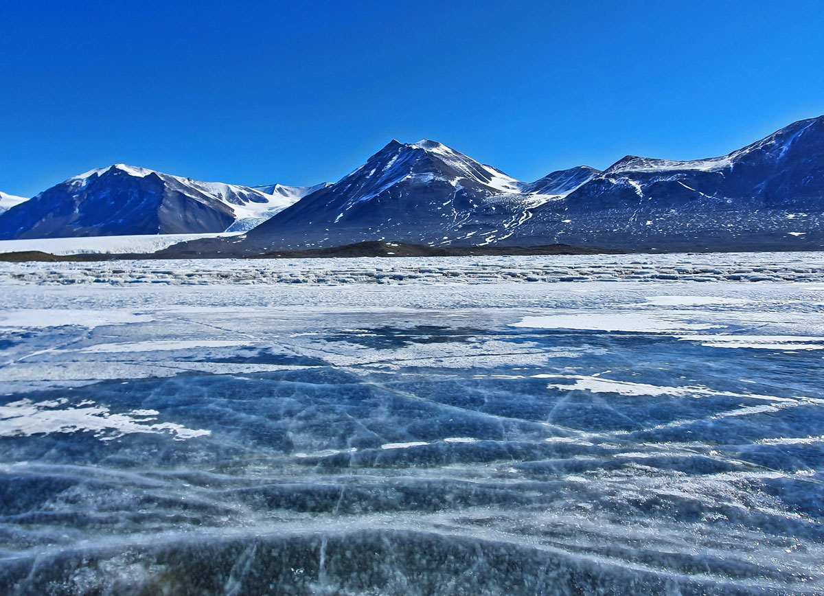

In Antarctica, beneath the ice, there is liquid water—and potentially a lot of it. That’s the takeaway from new research that used seismographic instruments to probe the still largely unstudied boundary between Antarctica’s bedrock and its ice sheet.
Previous hydrological studies and modeling work have found evidence of lakes and rivers beneath the Antarctic Ice Sheet, though much remains unknown about the region.
Now, using an array of seismic sensors, researchers from Stony Brook University have added more data points to the map of subglacial Antarctica, finding evidence of a layer of water-saturated sediments or rock under the ice. That layer could have implications for models of Antarctic groundwater systems, as well as for future movements of the ice sheet as it slides toward the ocean.
Looking Beneath the Ice with Earthquakes
The data, which will be presented at AGU’s 2025 Annual Meeting, come from an array of more than 600 seismic sensors strung in two long lines totaling about 600 kilometers near the South Pole, put there over the course of two field seasons in Antarctica. The sensors listen for seismic waves that travel through the upper layers of Earth and into the ice sheet.
Those waves carry the signatures of every medium through which they’ve traveled, said Weisen Shen, a geoscientist at Stony Brook University and a paper coauthor. To isolate that information, the researchers applied a mathematical technique called a receiver function to remove the waves’ source information, leaving only the signatures of what they moved through on their journey to the sensor.
In their data from beneath the South Pole, in a region known as the Pensacola-Pole Basin, the researchers found a very low velocity layer, where seismic waves travel too slowly for the conducting medium to be bedrock or ice.
While the authors can’t say exactly what this layer looks like, Shen said the best explanation is a layer of water-saturated sediments or sandstone, likely hundreds of meters thick.
“Anything we can do to try and enhance our knowledge of what’s going on…is just going to help us try and narrow down this really bizarre landscape underneath the ice.”
“We believe…there must be some aquifer system, a groundwater system, that must be preserved beneath the ice,” he said.
The water there could even be connected to groundwater elsewhere in Antarctica, Shen noted. If so, water might be moving around beneath the surface of Antarctica through hydrologically linked basins, and perhaps even out to the ocean.
That scenario could have implications for sea level rise, but, as University of Waterloo glaciologist Christine Dow pointed out, we know far too little to say for sure. In her own modeling, Dow, who wasn’t affiliated with the research, said it appears these basins aren’t connected to the ocean.
“But these are models based on our current knowledge of where’s frozen and where’s not under the Antarctic,” she said. “Perhaps this new information will change that.”
Dow welcomed new data on the mostly uncharted landscape of subglacial Antarctica, where scientists have evidence of lakes, rivers, and groundwater interacting in complex ways, but little hard evidence of the continent’s topography.
“Anything we can do to try and enhance our knowledge of what’s going on…is just going to help us try and narrow down this really bizarre landscape underneath the ice,” she said.
More Questions Than Answers
One question the new data raise is where the heat energy needed to melt the water comes from, noted Hanxiao Wu, a Ph.D. candidate at Stony Brook University and the paper’s first author. It could come from geothermal heat from below, friction caused by the movement of ice at the surface, or some combination of both.
One takeaway from the research is that estimates of geothermal heat flux below Antarctica may need to be bumped upward, Dow said. Models of ice sheet movement and evolution may also need to change to accommodate hundreds of meters of water-saturated sediments. “That’s a game changer,” Dow said.
Should there turn out to be more water beneath Antarctica than previously thought, and should that water move greater distances and in greater amounts, sea levels could rise beyond current predictions, Shen said. It’s too early, however, to estimate any of these probabilities with much certainty, he cautioned.
Right now, Shen and his fellow researchers are focused on improving their dataset and seeking collaborations with other geophysicists to map out the implications of their findings. Wu traveled back to Antarctica for the 2025–2026 field season, where the team is adding another line of seismic sensors to increase coverage and working on tracking the array to better understand changes in snow surface elevation.
In the future, they hope to add additional data from satellites, magnetotelluric surveys, and fiber-optic cables for a more comprehensive look at the ice pack and its underbelly, perhaps as part of the 5th International Polar Year in 2032.
What the scientists will find is unknown. But with millions of square miles of land underneath the ice, the potential for discovery is appropriately vast.
—Nathaniel Scharping (@nathanielscharp), Science Writer