The Minnesota Geological Survey has contributed to the dispossession of homelands from Indigenous Peoples. The agency is creating more just policies.
Science Updates

Posted inScience Updates
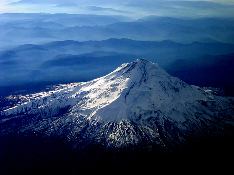
Anticipating Climate Impacts of Major Volcanic Eruptions
NASA’s rapid response plan for gathering atmospheric data amid major volcanic eruptions, paired with efforts to improve eruption simulations, will offer better views of these events’ global effects.
Posted inScience Updates
Making the Most of Volcanic Eruption Responses
Last year, a new collaborative initiative conducted a hypothetical volcano response exercise. A month later, they put the knowledge gained to use during an actual eruption.

Posted inScience Updates
Earth’s Continents Share an Ancient Crustal Ancestor
How did today’s continents come to be? Geological sleuths found clues in grains of sand.

Posted inScience Updates
Swipe Left on the “Big One”: Better Dates for Cascadia Quakes
Improving our understanding of hazards posed by future large earthquakes on the Cascadia Subduction Zone requires advancements in the methods and sampling used to date and characterize past events.

Posted inScience Updates
Undertaking Adventure to Make Sense of Subglacial Plumes
Novel observations and inventive analyses of glacial discharge in Greenland have revealed new insights into the irregular and chaotic nature of ice-ocean interactions at glacial calving fronts.

Posted inScience Updates
Wildfires Are Threatening Municipal Water Supplies
Climate change is driving an increase in catastrophic wildfires; consumers see, smell, and taste the effects in their water. Water utilities must prepare for worse times ahead.
Posted inScience Updates
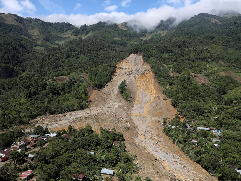
Satellites Support Disaster Response to Storm-Driven Landslides
Extreme precipitation can trigger deadly landslides. Satellite-based tools provide regional perspectives on landslide hazards, help assess risks in near-real time, and guide emergency responses.
Posted inScience Updates
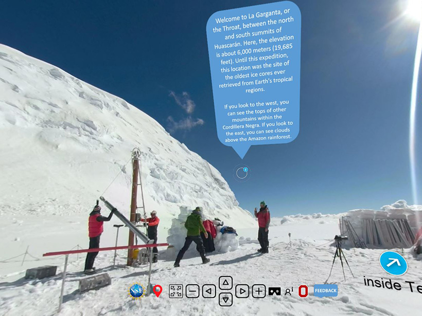
Virtual Tours Through the Ice Using Everyday Tools
The Byrd Polar and Climate Research Center is training scientists to create immersive virtual field experiences of glaciers, sea ice, and snow.

Posted inScience Updates
NEON Lights a Path for Sustained Ecological Observations
Resources and data offered by the National Ecological Observatory Network are supporting researchers investigating critical ecosystem changes across the country.