
Origin and Evolution of Plate Tectonics; Ascona, Switzerland, 18–22 July 2016
Science Updates

Posted inScience Updates
International Effort Tackles Landslide Hazards to Keep the Peace
Earth scientists work with the North Atlantic Treaty Organization to help keep a border-straddling hydroelectric power plant on the Black Sea coast safe from landslides.
Posted inScience Updates
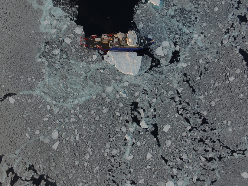
The Balance of Ice, Waves, and Winds in the Arctic Autumn
Although summer sea ice loss in the Arctic is well studied, less is known about how ice comes back in autumn. A new program is changing that.
Posted inScience Updates
Integrating Multiscale Seasonal Data for Resource Management
Workshop on Phenology at Scales from Individual Plants to Satellite Pixels; Cambridge, Massachusetts, 21–23 June 2016

Posted inScience Updates
Understanding Causes and Effects of Rapid Warming in the Arctic
A new German research consortium is investigating why near-surface air temperatures in the Arctic are rising more quickly than in the rest of the world.
Posted inScience Updates
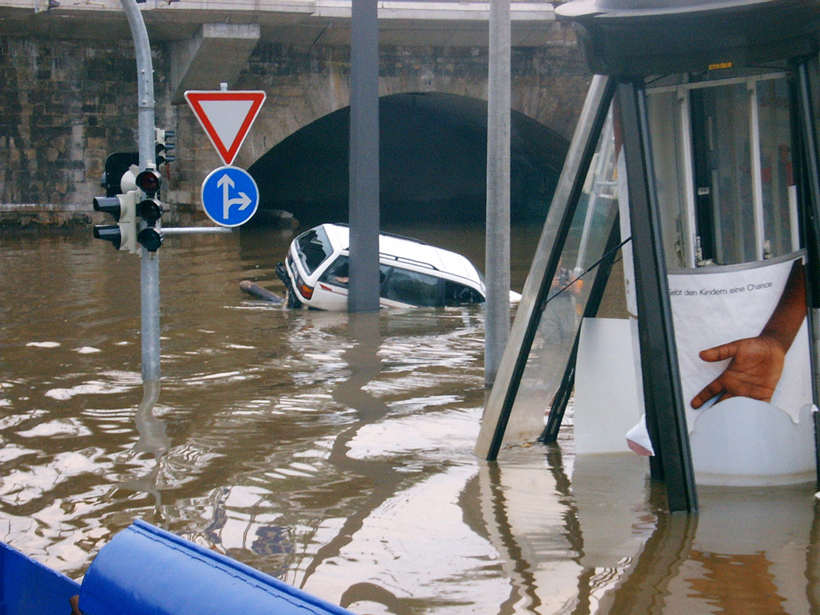
Using Archives of Past Floods to Estimate Future Flood Hazards
Cross Community Workshop on Past Flood Variability; Grenoble, France, 27–30 June 2016
Posted inScience Updates
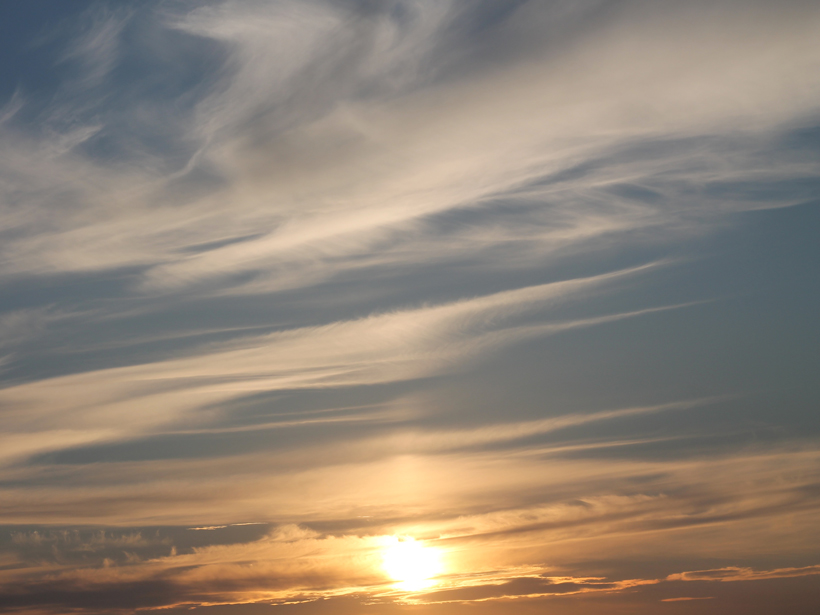
Understanding How Climate Engineering Can Offset Climate Change
Sixth Meeting of the Geoengineering Model Intercomparison Project; Oslo, Norway, 21–22 June 2016

Posted inScience Updates
Seeking Signs of Life and More: NASA’s Mars 2020 Mission
The next Mars rover will be able to land near rugged terrain, giving scientists access to diverse landscapes. It will also cache core samples, a first step in the quest to return samples to Earth.

Posted inScience Updates
Measuring Earth’s Gravity Field from the Air
2016 Airborne Gravimetry for Geodesy Summer School; Silver Spring, Maryland, 23–27 May 2016
Posted inScience Updates
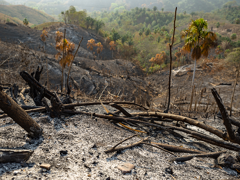
Identifying a Fire Ecology Research Agenda for Colombia
Fire Ecology Colloquium; Bogotá, Colombia, 23–24 June 2016