On-the-ground measurements are notoriously difficult in the harsh environment of the Arctic, but satellites could help close the gap in measuring sea surface salinity.
remote sensing

Posted inResearch Spotlights
Tracing Water’s Path Through the Santa Clara Valley Aquifer
In an increasingly drought prone climate, scientists study the impacts of drought on aquifer systems.

Posted inOpinions
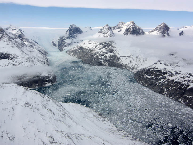
Monitoring Coastal Zone Changes from Space
The resilience of coastal communities depends on an integrated, worldwide coastal monitoring effort. Satellite observations provide valuable data on global to local scales.
Posted inScience Updates
Observing Life near the Ocean’s Surface with Satellites
Third International Ocean Colour Science (IOCS) Meeting; Lisbon, Portugal, 15–19 May 2017

Posted inResearch Spotlights
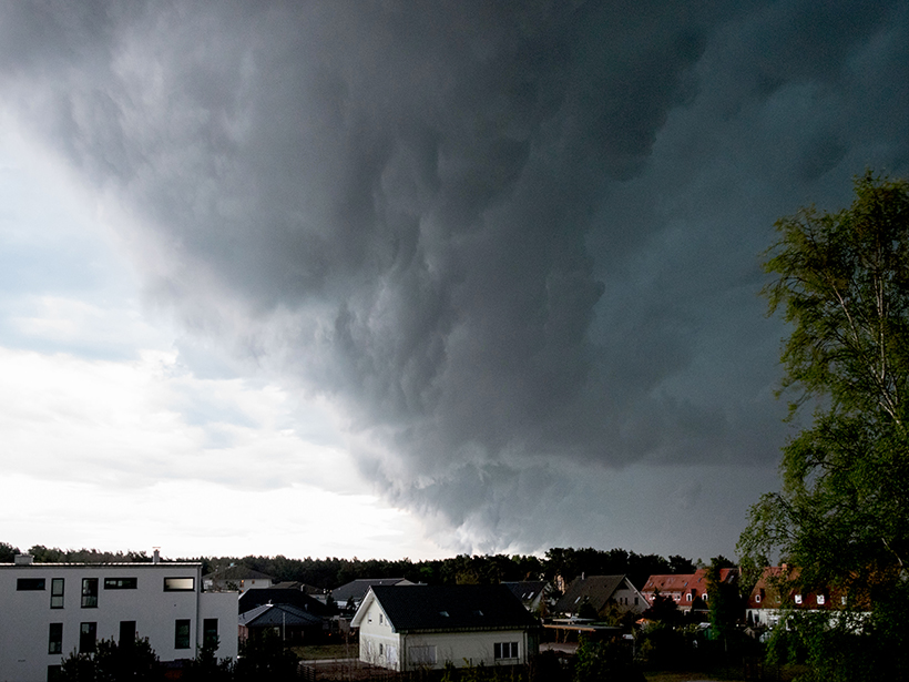
Ocean Showers Power the Global Electric Circuit
Satellite measurements confirm hundred-year-old observations collected by boat.
Posted inAGU News
Nakajima Receives 2017 Yoram J. Kaufman Unselfish Cooperation in Research Award
Teruyuki Nakajima will receive the 2017 Yoram J. Kaufman Unselfish Cooperation in Research Award at the 2017 American Geophysical Union Fall Meeting, to be held 11–15 December in New Orleans, La. The award recognizes “broad influence in atmospheric science through exceptional creativity, inspiration of younger scientists, mentoring, international collaborations, and unselfish cooperation in research.”
Posted inResearch Spotlights
The Microphysics of Squall Lines
Scientists tracked the distribution of raindrops of different sizes as a row of thunderstorms formed by a cold front developed and intensified over eastern China.

Posted inNews
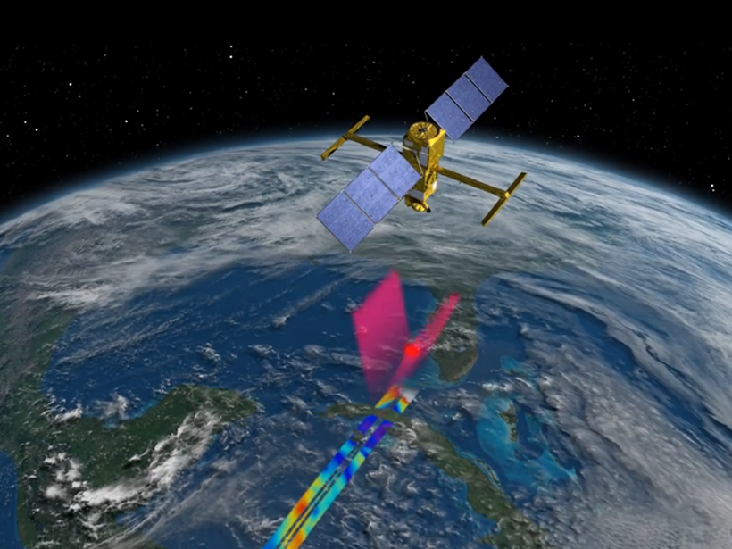
Satellite Quantifies Carbon Dioxide from Coal-Fired Power Plants
Using data from NASA’s Orbiting Carbon Observatory 2 satellite, researchers measured emissions of the greenhouse gas from individual coal plants in the United States, India, and South Africa.

Posted inResearch Spotlights
A New Baseline to Monitor Earth’s Dynamic Surface
Researchers devise a new mathematical approach to combine space- and ground-based observations into an alternative reference frame for monitoring the changing positions of Earth’s features.
Posted inScience Updates
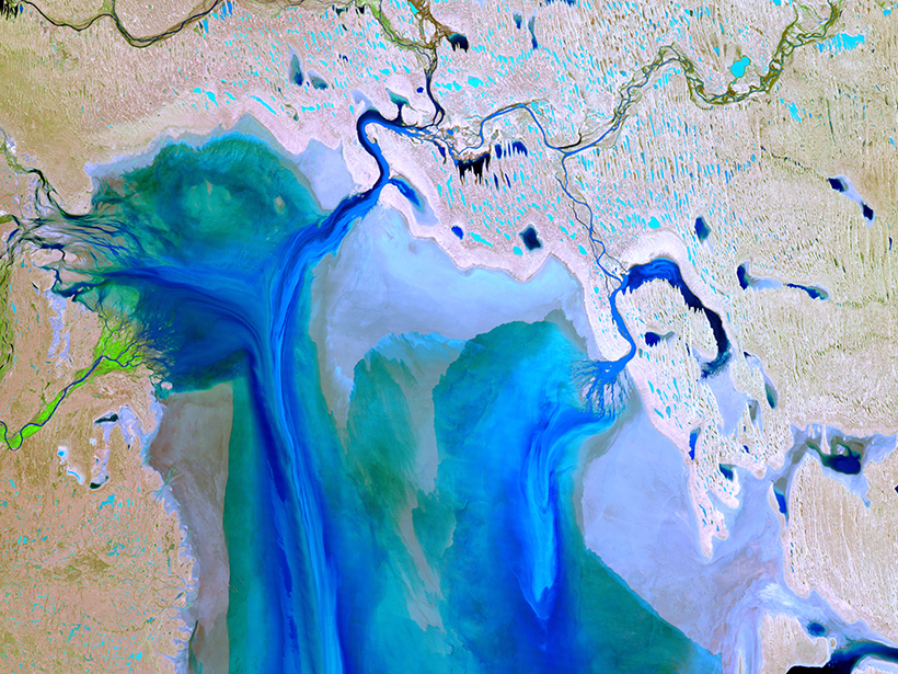
Putting Satellite Maps of Surface Water to Practical Use
2nd SWOT Application User Workshop: Engaging the User Community for Advancing Societal Applications of the Surface Water Ocean Topography (SWOT) Mission, Reston, Virginia, 5–6 April 2017