
Surging demand for lithium and other elements is redefining the relationship between the geosciences and the mining industry.
Earth science
Posted inNews
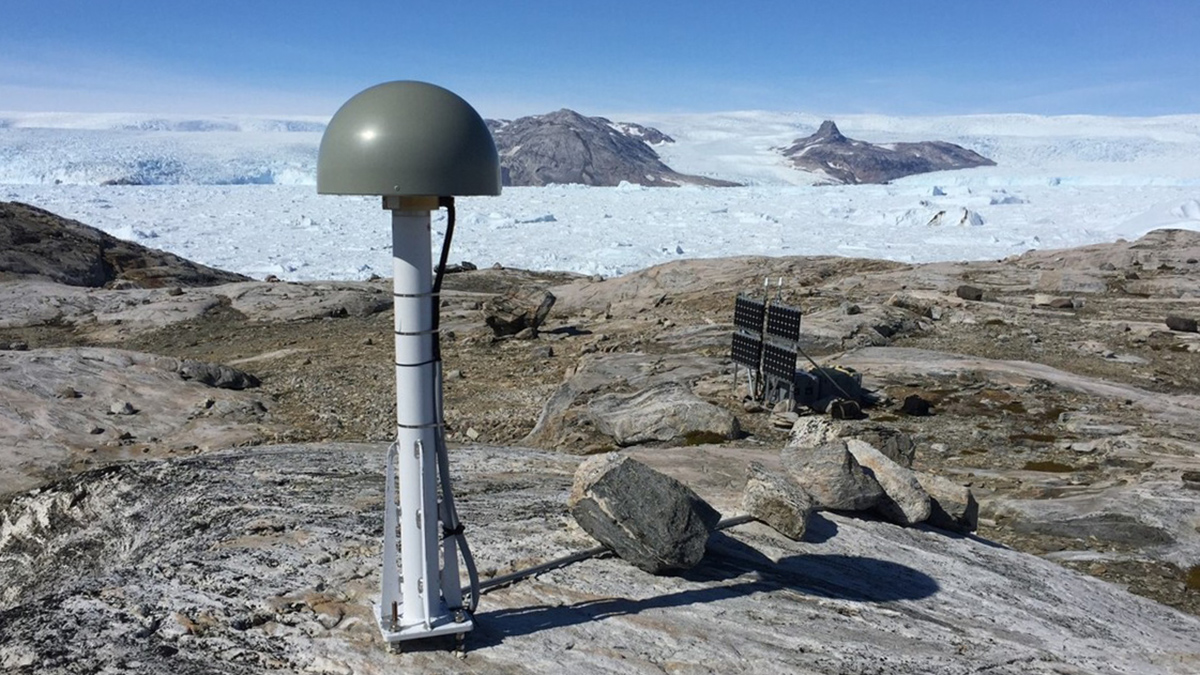
Greenland Ice Sheet Stores Hidden Water Throughout the Melt Season
A new method uses stations around Greenland’s coast to measure how much meltwater weighs down the bedrock beneath the ice, improving our understanding of its contribution to sea level rise.

Posted inResearch Spotlights
Radar Reveals Electrical Activity in the Ionosphere
A new method could improve understanding of communication disruptions.
Posted inNews
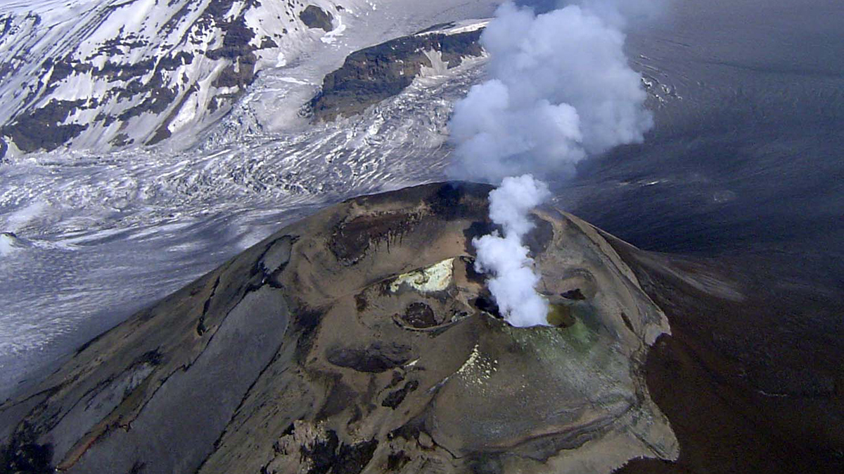
Alaska’s Mount Veniaminof Volcano Is Stealthy—Here’s Why
New research explains why Mount Veniaminof erupts without the usual warming signs.
Posted inEditors' Highlights
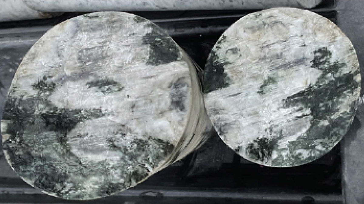
Diverse Seismic Response in Hectometer-Scale Fracture System
An underground experiment with multi-stage stimulations reveals diverse seismic responses within a complex hectometer-scale fracture network, shedding light on induced seismicity behaviors at field scale.

Posted inEditors' Highlights
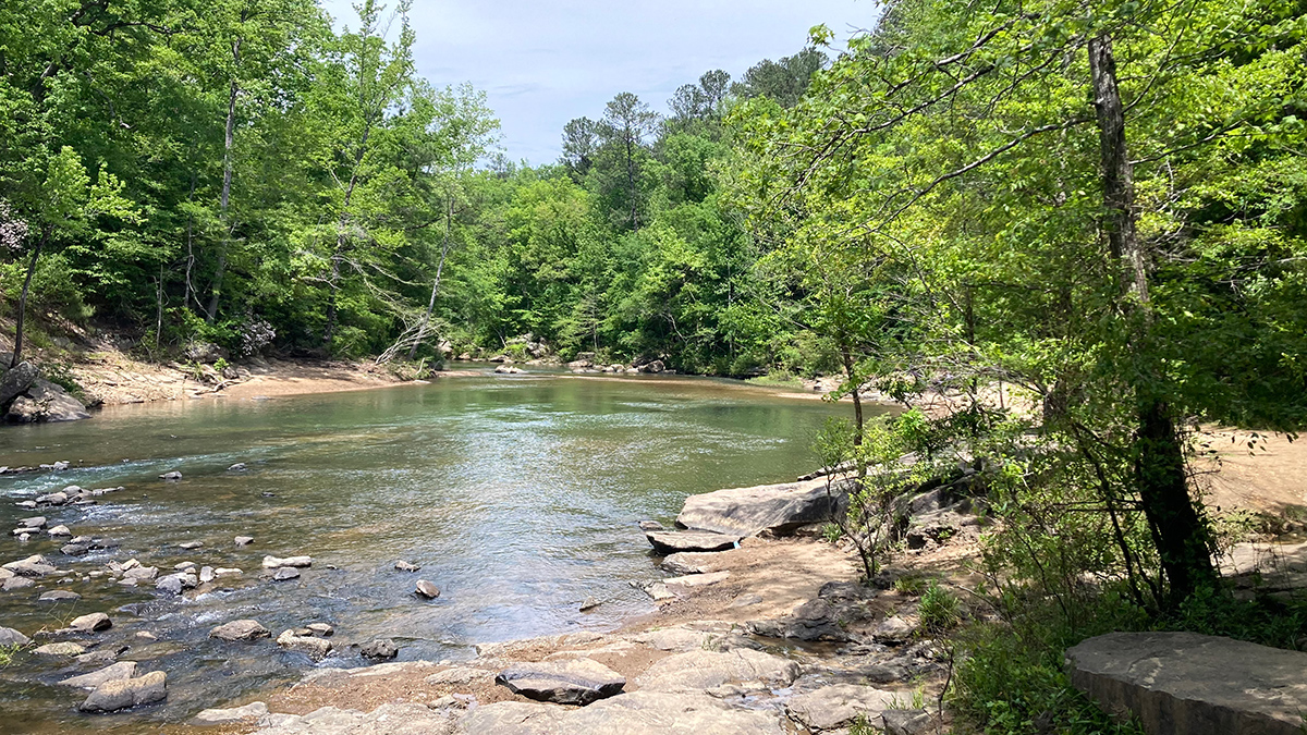
Logjams Promote Floodplain Complexity and Hydraulic Resistance
Using a new model, scientists compare logjam hydraulic impact across 37 reaches observed over 11 years in the Colorado Rockies.
Posted inNews
Mobile Bay Has More Branching Brooks Than Shown on Federal Maps
A more accurate charting of the full extent of stream networks will help land managers better protect U.S. creeks and rivers.
Posted inNews
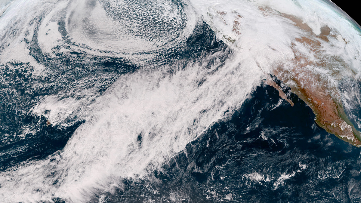
California Storms Recharged Watersheds, Geodesy Data Reveal
The atmospheric rivers that soaked the state in early 2023 released enough water to warp the ground and douse a deep drought.
Posted inNews
Scientists May Have Found Another Viscosity Shift in the Mantle
The proposed distinction could improve Earth models.

Posted inNews
Coastlines Around the World Are Losing Sediment
A new tool maps coastal sediments on the basis of water color. It shows that 75% of the world’s coastlines may be losing suspended sediment.