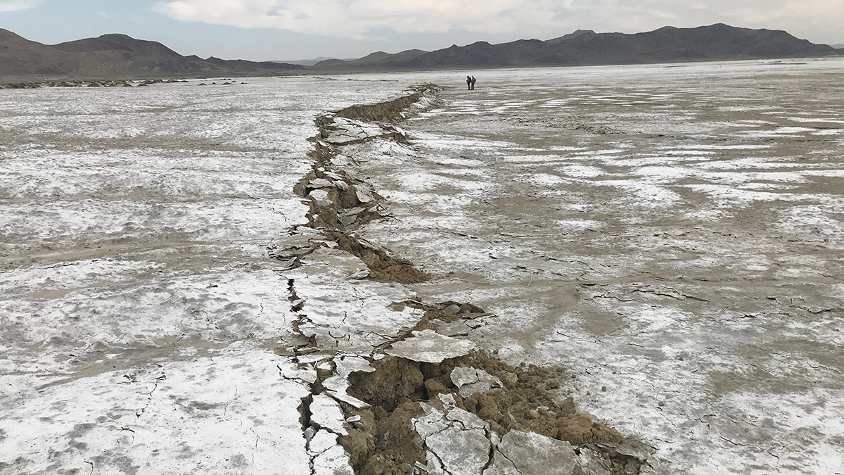
• About
  • Sections
  • Topics
    • Climate
    • Earth Science
    • Oceans
    • Space & Planets
    • Health & Ecosystems
    • Culture & Policy
    • Education & Careers
    • Opinions
  • Projects
    • ENGAGE
    • Editors’ Highlights
    • Editors’ Vox
    • Eos en Español
    • Eos 简体中文版
    • Print Archive
  • Science Policy Tracker
  • Blogs
    • Research & Developments
    • The Landslide Blog
  • Newsletter
  • Submit to Eos
  • AGU.org
  • Career Center
  • Join AGU
  • Give to AGU
  • About
  • Sections
  • Topics
    • Climate
    • Earth Science
    • Oceans
    • Space & Planets
    • Health & Ecosystems
    • Culture & Policy
    • Education & Careers
    • Opinions
  • Projects
    • ENGAGE
    • Editors’ Highlights
    • Editors’ Vox
    • Eos en Español
    • Eos 简体中文版
    • Print Archive
  • Science Policy Tracker
  • Blogs
    • Research & Developments
    • The Landslide Blog
  • Newsletter
  • Submit to Eos
Skip to content
  • AGU.org
  • Career Center
  • Join AGU
  • Give to AGU
Eos

Eos

Science News by AGU

Support Eos
Sign Up for Newsletter
  • About
  • Sections
  • Topics
    • Climate
    • Earth Science
    • Oceans
    • Space & Planets
    • Health & Ecosystems
    • Culture & Policy
    • Education & Careers
    • Opinions
  • Projects
    • ENGAGE
    • Editors’ Highlights
    • Editors’ Vox
    • Eos en Español
    • Eos 简体中文版
    • Print Archive
  • Science Policy Tracker
  • Blogs
    • Research & Developments
    • The Landslide Blog
  • Newsletter
  • Submit to Eos

Earth science

Popocatépetl erupts with wisps of volcanic gas, as seen from Puebla, Mexico.
Posted inFeatures

How Dangerous Is Mexico’s Popocatépetl? It Depends on Who You Ask

Katherine Kornei, Science Writer by Katherine Kornei 29 January 202425 April 2024

The stratovolcano in central Mexico presents a rich case study of risk perception, science communication, and preparedness surrounding natural hazards.

Photo of a dryland with shrubs.
Posted inEditors' Highlights

New Tracers of Wind Erosion Provide Insight into Dryland Vegetation

by Gregory Okin 25 January 202423 January 2024

Rare earth element tracers provide insight into how fire and wind transport influence the vegetation state of the world’s drylands.

Satellite image of a mountain range
Posted inNews

Magnitude 7.0 Quake Rattles Kyrgyzstan-China Border

by Jennifer Schmidt 22 January 202422 January 2024

The quake struck in the remote Tien Shan mountains.

Satellite photo of the Himalayas.
Posted inEditors' Highlights

How Good a Recycler is the Himalaya?

by Mikaël Attal 22 January 202422 January 2024

Researchers use sediment recycling to their advantage to calculate how fast the hills at the front of the Himalaya are eroding based on the concentration of rare elements in river sands.

The toe of the 22 January 2024 landslide at Liangshui Village in Zhenxiong County, Yunnan Province.
Posted inThe Landslide Blog

The 22 January 2023 landslide at Zhenxiong in Yunnan Province, China

by Dave Petley 22 January 202422 January 2024

The Landslide Blog is written by Dave Petley, who is widely recognized as a world leader in the study and management of landslides. At 5:51 am local time on 22 January 2023, a significant landslide occurred in Liangshui Village in Zhenxiong County, Yunnan Province of China. It is reported that 47 people from 18 households […]

Diagram from the study.
Posted inEditors' Highlights

Law and Order for Friction and Faults: One Law to Rule Them All

by Peter Zeitler 19 January 202418 January 2024

Faults are made of complex materials with complex behaviors, and having a single model that can predict these behaviors is an advance in understanding deformation and the earthquake cycle.

Photo of a large dam in a river.
Posted inEditors' Vox

River Damming: How it Harms Fish and What Can Be Done

by Qiuwen Chen, Jianyun Zhang and Qinyuan Li 19 January 202418 January 2024

The severe impacts of river damming on fish habitats have aroused widespread attention, prompting major conservation measures to help mitigate these negative effects.

Tall green trees dot a hillside, and a snow-covered mountain appears in the background.
Posted inNews

Spring Heat Waves Pack a Punch for Snowpacks in the Pacific Northwest

Katherine Kornei, Science Writer by Katherine Kornei 19 January 202419 January 2024

New research shows how the snowpack loss due to moderate springtime heat waves outweighed that of a record-shattering summer heat dome.

Photo of the Waimakariri River with farmland and mountains in the background.
Posted inEditors' Highlights

Modeling Braided Rivers in Presence of Exotic Weeds and Dams

by Enrica Viparelli 17 January 202418 January 2024

Numerical modeling can help with identifying the combined effects of weed growth, flood frequency, and magnitude on gravel bed rivers.

Photo of a glacier sitting on top of rock.
Posted inEditors' Highlights

Plants Reveal the History of Earth’s Largest Tropical Ice Cap

by Ann Rowan 16 January 20249 January 2024

Rooted plants buried by advancing outlet glaciers illustrate rapid changes in the extent of Quelccaya Ice Cap in Peru during the Holocene.

Posts pagination

Newer posts 1 … 52 53 54 55 56 … 143 Older posts
A view of a Washington, D.C., skyline from the Potomac River at night. The Lincoln Memorial (at left) and the Washington Monument (at right) are lit against a purple sky. Over the water of the Potomac appear the text “#AGU24 coverage from Eos.”

Features from AGU Publications

Research Spotlights

How Plant-Fungi Friendships Are Changing

22 October 202522 October 2025
Editors' Highlights

New Evidence for a Wobbly Venus?

29 September 202525 September 2025
Editors' Vox

Publishing Participatory Science: The Community Science Exchange

20 October 202517 October 2025
Eos logo at left; AGU logo at right

About Eos
ENGAGE
Awards
Contact

Advertise
Submit
Career Center
Sitemap

© 2025 American Geophysical Union. All rights reserved Powered by Newspack