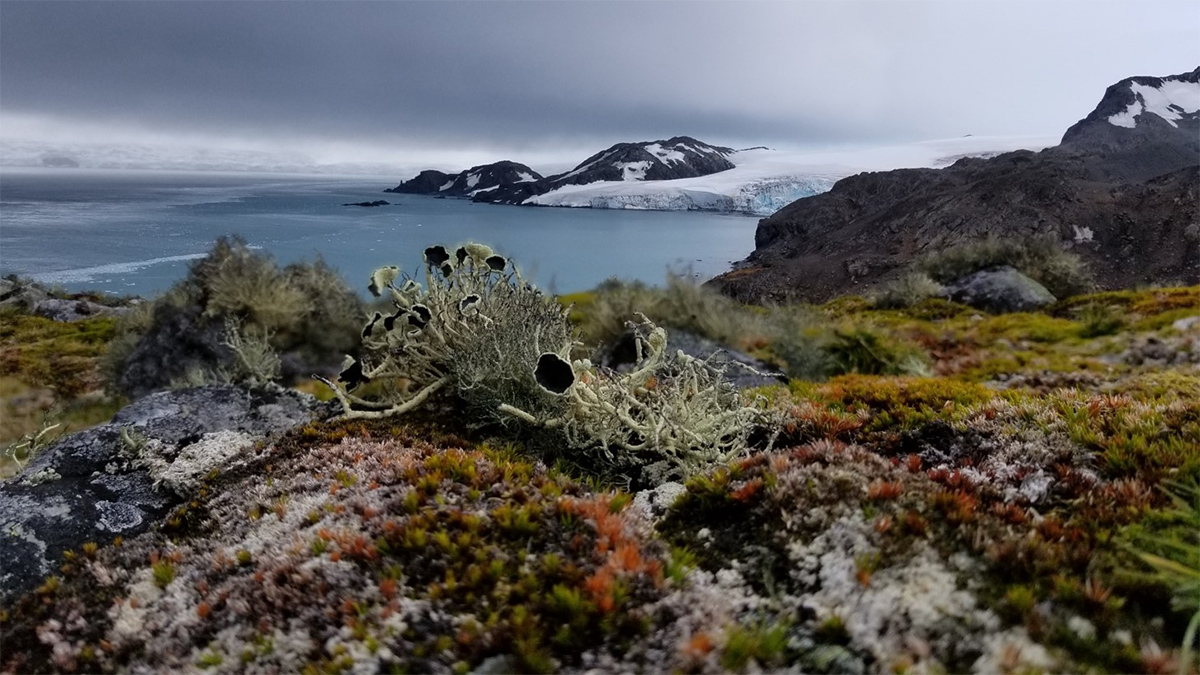
More than 40 square kilometers of vegetation cover Antarctica, including in previously unknown areas. A new map offers fresh insights for conservation amid climate change.
Earth science
Posted inEditors' Highlights
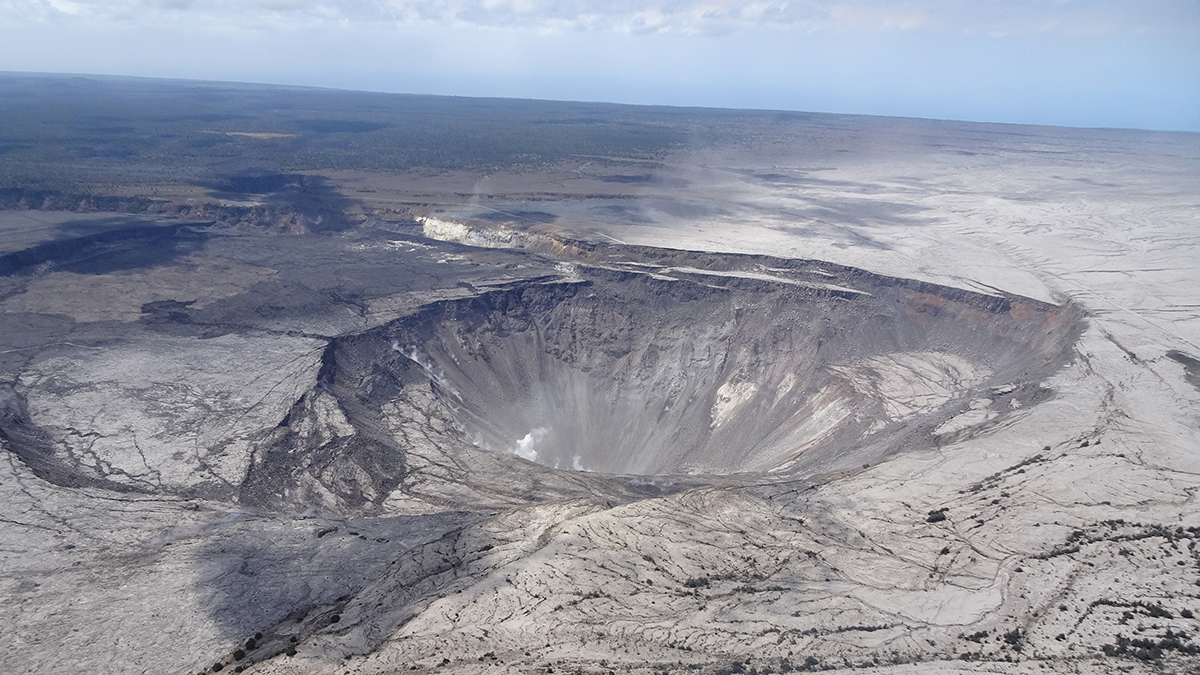
Forecasting Caldera Collapse Using Deep Learning
A deep learning model trained with geophysical data recorded during the well-documented 2018 Kilauea volcano eruption, Hawaii, predicts recurrent caldera collapse events.

Posted inScience Updates
An Unprecedented Experiment to Map Kīlauea’s Summit Magma System
Dozens of researchers deployed nearly 2,000 seismic stations—and a T-Rex—to better illuminate subsurface structure and magma storage below the summit of the highly active volcano.
Posted inNews
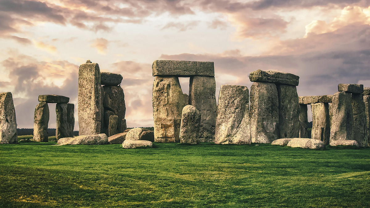
From Sandstone Basin to Stonehenge Altar
New research unearths the Scottish origin of Stonehenge’s Altar Stone and its 750-kilometer journey to Salisbury Plain.
Posted inNews
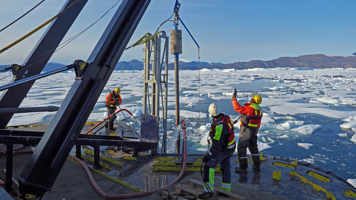
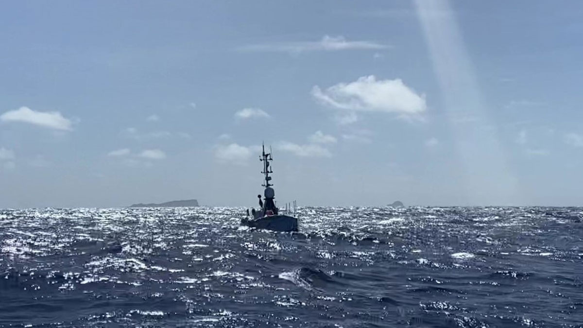
Swedish Icebreaker Is the First to Dig Into Greenland’s Remote Victoria Fjord
Data collected aboard Oden will shed light on the dynamics of the Greenland Ice Sheet.

Posted inNews
Lost City’s Plumbing Exposed by the Longest Mantle Core Ever Drilled
The core, which is 71% complete, reveals millions of years of geologic history and the plumbing underlying hydrothermal vents.

Posted inNews
Lots of Dust Gets Sucked Up by Jet Engines
Changing flight times and holding altitudes could substantially reduce the amount of wear-inducing dust ingested by jet engines.
Posted inResearch Spotlights
Exploring an Underwater Volcano from 16,000 Kilometers Away
Measurements of Hunga volcano’s crater continued for months after its 2022 eruption.

Posted inNews
Scientists Are “Gobsmacked” by the Variability of Seafloor Currents
The speed and direction of deep currents off Mozambique’s coast are more subject to change than scientists expected.

Posted inOpinions
Cultivating Trust in AI for Disaster Management
Artificial intelligence applied in disaster management must be reliable, accurate, and, above all, transparent. But what does transparency in AI mean, why do we need it, and how is it achieved?