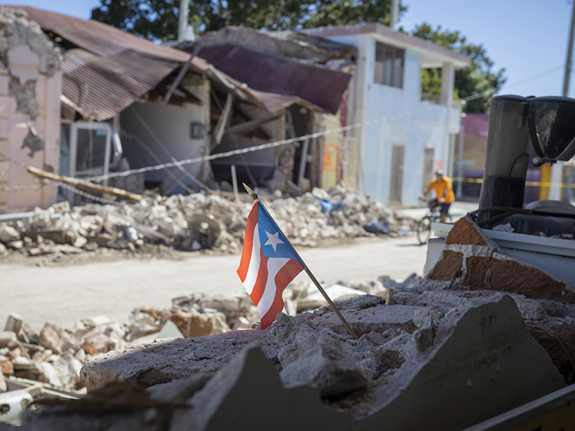
Puerto Rico hasn’t seen this many strong quakes in a single sequence since seismic monitoring began 46 years ago. The last earthquake to damage the island this badly occurred in 1918.
earthquakes
Posted inFeatures
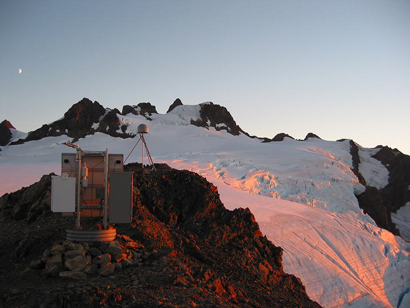
Seismic Sensors in Orbit
Navigation satellites are enabling high-precision, real-time tracking of ground displacements, supplementing traditional methods for monitoring and assessing earthquakes.

Posted inNews
Finding Faults in Our Past: Uncovering the Messina Earthquake
The source of the deadly 1908 Italian earthquake may finally be identified, thanks to a fresh look at the geomorphology of the Strait of Messina.
Posted inFeatures
Scientists Scramble to Collect Data After Ridgecrest Earthquakes
Ground shaking in Southern California, including a magnitude 7.1 temblor, triggered a massive mobilization effort to collect seismological, geological, and geodetic data.

Posted inNews
How to Turn Your Smartphone into an Earthquake Detector
A free smartphone app tracks earthquakes using your phone’s accelerometer. One day, the app could issue emergency warnings to those in danger.
Posted inFeatures
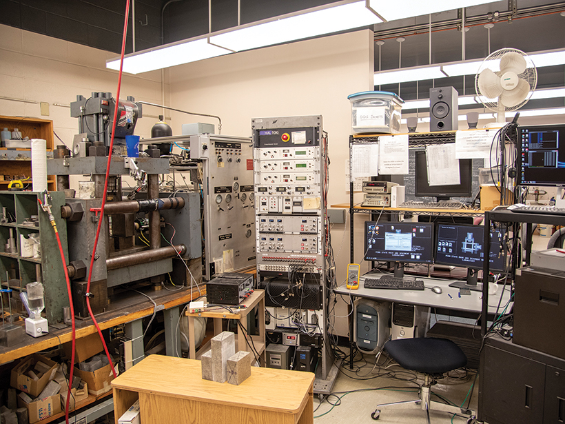
Machine Fault
Applying machine learning to subtle acoustic signals from an earthquake machine has revealed big clues about fault behavior in the lab.

Posted inNews
California Launches Nation’s First Earthquake Early Warning System
The country’s first publicly available, statewide warning system could give California residents crucial seconds to duck and cover before a quake.

Posted inResearch Spotlights
Earthquake Statistics Vary with Fault Size
A theoretical study explores why small earthquake sources can produce quasiperiodic sequences of identical events, whereas earthquakes on large faults are intrinsically more variable.

Posted inScience Updates
Exposing Los Angeles’s Shaky Geologic Underbelly
Current calculations might underestimate the susceptibility of Los Angeles to earthquake shaking, so researchers and volunteers are deploying seismic networks near the city to remedy a data shortage.
![Figure 4 from paper by Preuss et al. [2019]](https://eos.org/wp-content/uploads/2019/09/2019JB017324-Figure-4-sized.png)
Posted inEditors' Highlights
Can We Tell If Faults Grew During or Between Earthquakes?
Numerical simulations of earthquake cycle deformation reveal that co-seismic and interseismic fault propagation can produce distinct propagation angles that may be recorded in the crust.