
Videos from Twitter and YouTube helped scientists tease out the physical mechanisms that generated the large tsunami in Palu Bay after a magnitude 7.5 earthquake.
earthquakes
Posted inEditors' Highlights
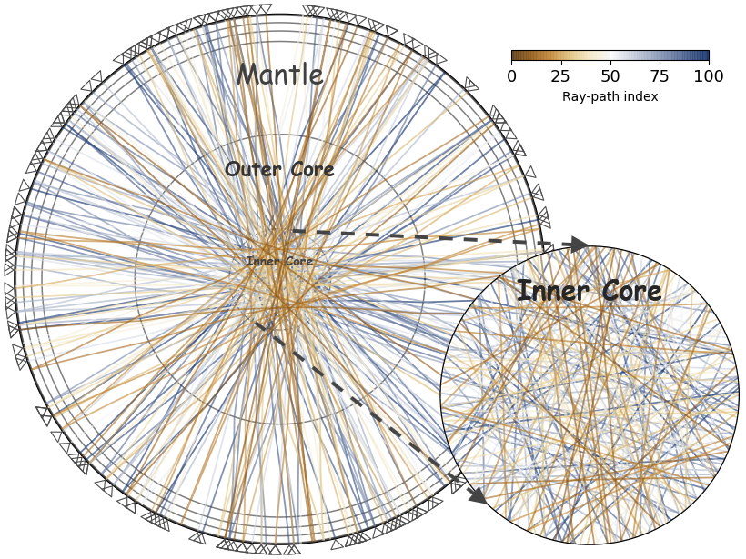
Earthquake-coda Tomography Boosts Illumination of the Deep Earth
A new tomographic method based on correlations of seemingly chaotic earthquake coda waves yields otherwise unobservable arrivals, thus greatly improving illumination of the deep Earth.

Posted inNews
A Plate Boundary Emerges Between India and Australia
Bathymetric and seismic data point to a new plate boundary in a fracture-riddled zone beneath the northern Indian Ocean.

Posted inEditors' Highlights
Ultrahigh Speed Movies Catch Growing Earthquake Ruptures
Comparing successive frames from ultrahigh speed videos of propagating fractures allowed laboratory researchers for the first time to capture the fine details of of a propagating earthquake rupture.

Posted inENGAGE, News
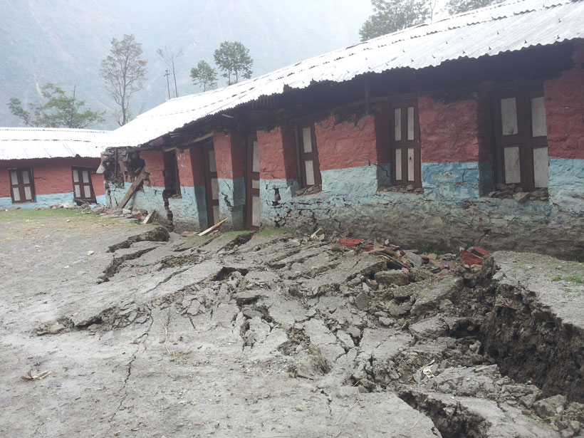
Bringing Earthquake Education to Schools in Nepal
The Seismology at School in Nepal program aims to prepare rural communities for the next big earthquake.
Posted inNews
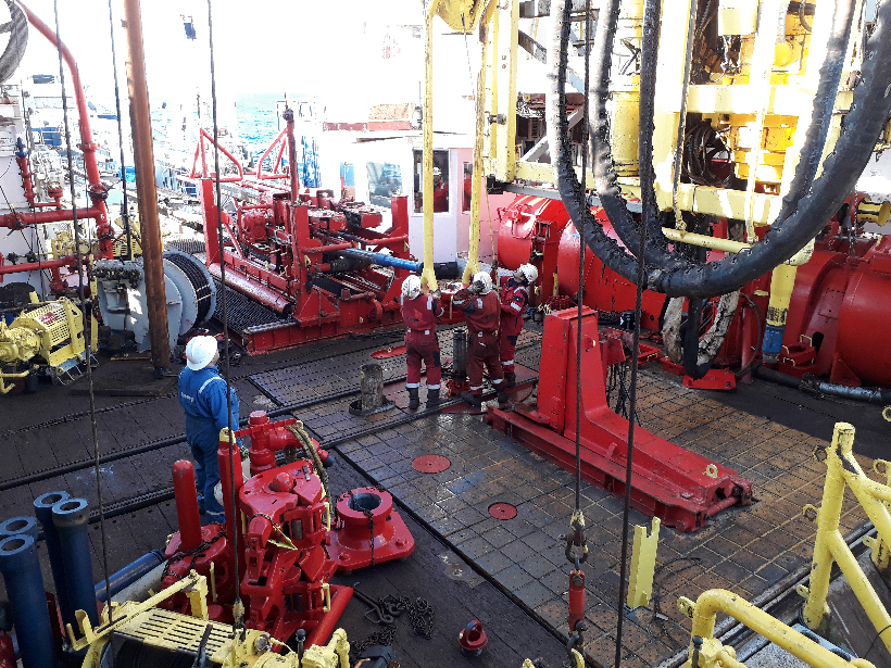
Getting to the Bottom of Slow-Motion Earthquakes
For close to 20 years, slow-motion earthquakes have been an enigma. Core samples provide new clues to their origins.
Posted inNews
Geodetic Data Pinpoint Earthquake-Prone Regions of the Himalayas
GPS measurements of the Indian and Eurasian plates reveal four locked segments most likely to produce large earthquakes.

Posted inEditors' Highlights
Slow Slip By Any Other Name
Earth’s faults slip most catastrophically as earthquakes. The rise of geodesy reveals an array of slower slip events, meaning faults are nearly always active. Are these behaviors really so different?
Posted inNews
Fluid Pressure Changes Grease Cascadia’s Slow Aseismic Earthquakes
Twenty-five years’ worth of data allows scientists to suss out subtle signals deep in subduction zones.

Posted inNews
Enjambre de Terremotos Inusuales Golpean a Puerto Rico
Puerto Rico no había visto tantos sismos fuertes en una sola secuencia desde que comenzó el monitoreo sísmico hace 46 años. El último terremoto que dañó la isla gravemente ocurrió en 1918.