
种新的数值模型模拟了整个地震周期内的地壳褶皱。
Earth’s crust

Posted inResearch Spotlights
Faults in Oceanic Crust Contribute to Slow Seismic Waves
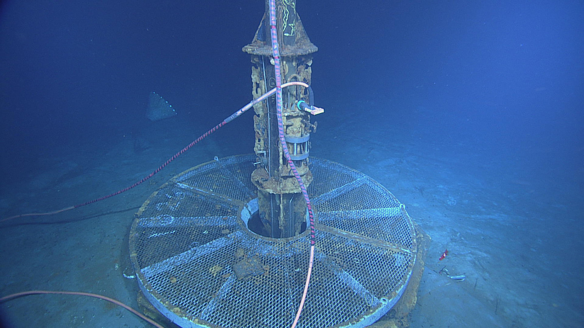
New high-sampling rate measurements of fluid pressures in oceanic crust reveal unresolved fractures and pathways for fluid flow.
Posted inResearch Spotlights
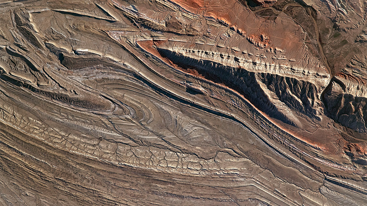
Faulting and Folding Signals in Seismic Data
A novel numerical model simulates folding in Earth’s crust throughout the earthquake cycle.
Posted inScience Updates
A Simple Recipe for Making the First Continental Crust
Laboratory experiments serendipitously revealed a rock-forming process that might explain how the first continental crust formed on Earth—and possibly on Mars.

Posted inResearch Spotlights
Support for a “Jelly Sandwich” Model of the Tibetan Plateau
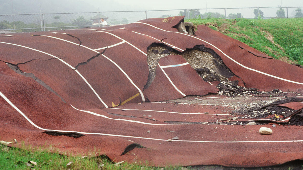
Computer modeling constrained by positional data collected in the aftermath of the 2008 Wenchuan earthquake indicates the lower crust is less viscous than the upper mantle below it.
Posted inEditors' Vox
The Birth, Growth, and Death of Continents
There are various explanations for how the Earth’s continents form, develop, and change but challenges remain in fully understanding the driving forces behind plate tectonics on our planet.

Posted inResearch Spotlights
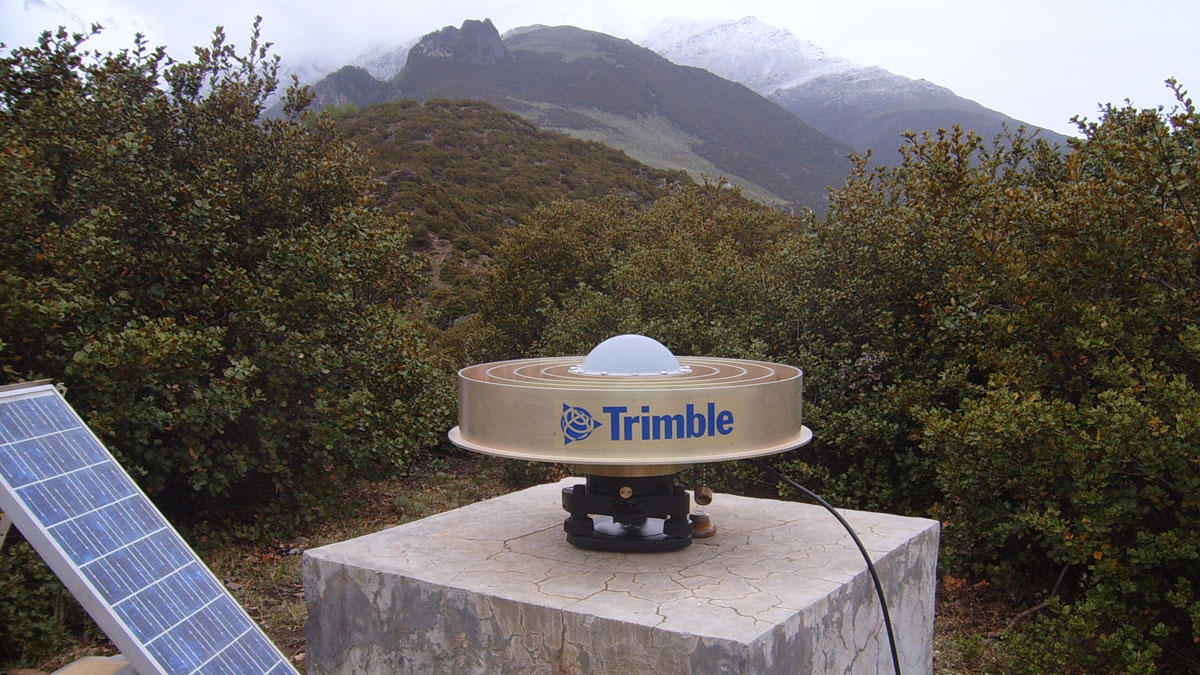
Measuring Sea Level Rise Along the Coast
Scientists created a global map of vertical land motion to show how the solid ground is moving relative to the planet’s rising seas.
Posted inEditors' Highlights
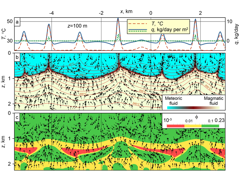
Coupled Mechanisms of Fluid Transport Across the Crust
Magmatic fluid moves up in the ductile zone through porosity waves, accumulates in high-porosity lenses, and migrates across the brittle zone in a convection pattern involving also meteoric fluid.