
A new generation of models, laboratory, and field studies is helping scientists answer important questions about this mysterious substance.
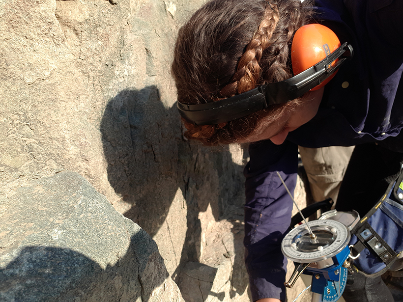
fieldwork
Posted inNews
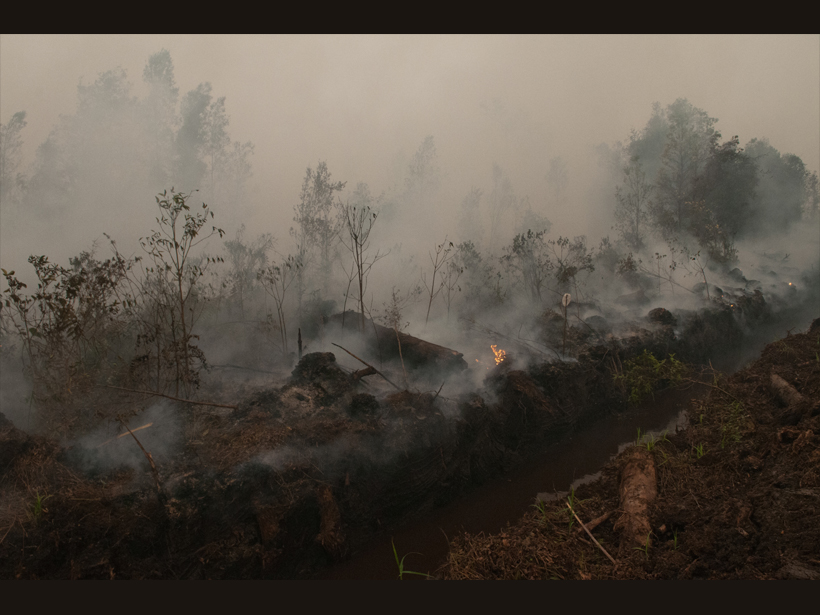
Starting (and Stopping) a Fire to Study It
Fire experiments on peatlands in Southeast Asia have identified previously unknown emissions patterns and could point to ways to detect these smoldering fires before they become too big to fight.
Posted inScience Updates
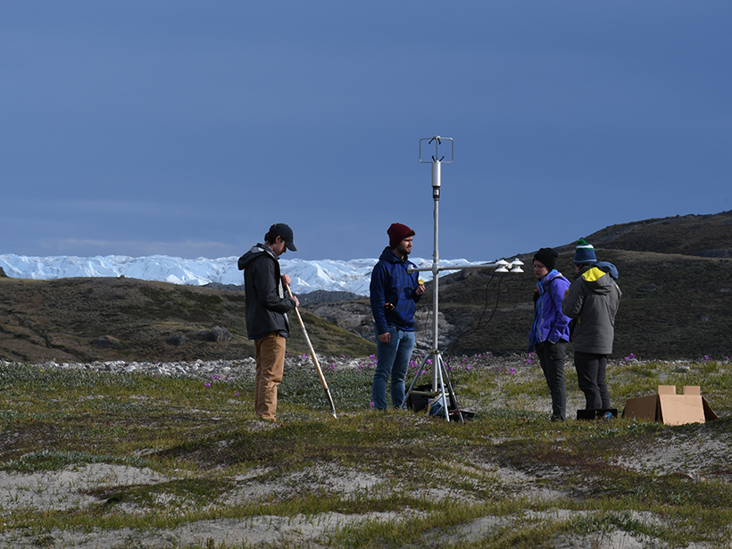
Seeing the Greenland Ice Sheet Through Students’ Eyes
A team of students and faculty advisers revisited the site of pioneering geosciences expeditions from the 1920s, looking to introduce young researchers to polar science.
Posted inOpinions
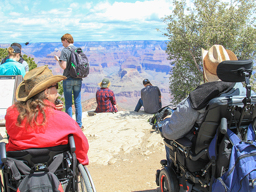
Creating Spaces for Geoscientists with Disabilities to Thrive
Flexible fieldwork options and more thoughtful recruitment efforts will better open our community to the diverse talent it needs.
Posted inOpinions
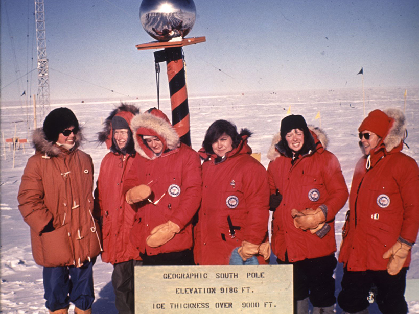
Overcoming Ice and Stereotypes at the Bottom of the World
The Byrd Polar and Climate Research Center celebrates the 50th anniversary of the first all-women research team in Antarctica.

Posted inNews
Wind-Triggered Ground Shaking Masks Microseismicity
Ground motion caused by gusts of wind can drown out signals from the smallest earthquakes, potentially confusing earthquake detection algorithms.
Posted inGeoFIZZ
Scientists Who Selfie from the Field
How did the research trip go? Better check the selfies—I mean, field log.

Posted inNews
Microbes Spotted in “Polyextreme” Hot Springs
Hot springs that are as acidic as battery acid are home to single-celled microorganisms that may indicate that life could have been sustained on ancient Mars.

Posted inNews
Eruption in El Salvador Was One of the Holocene’s Largest
Roughly 1,500 years ago, the Tierra Blanca Joven eruption blanketed Central America in ash and likely displaced Maya settlements, new research shows.
Posted inNews
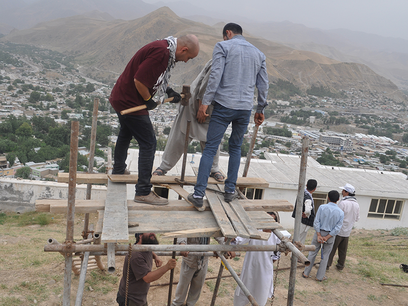
Afghanistan’s Blob Hunters
How a first-of-its-kind team of Afghan scientists and engineers helped make a monolithic discovery.