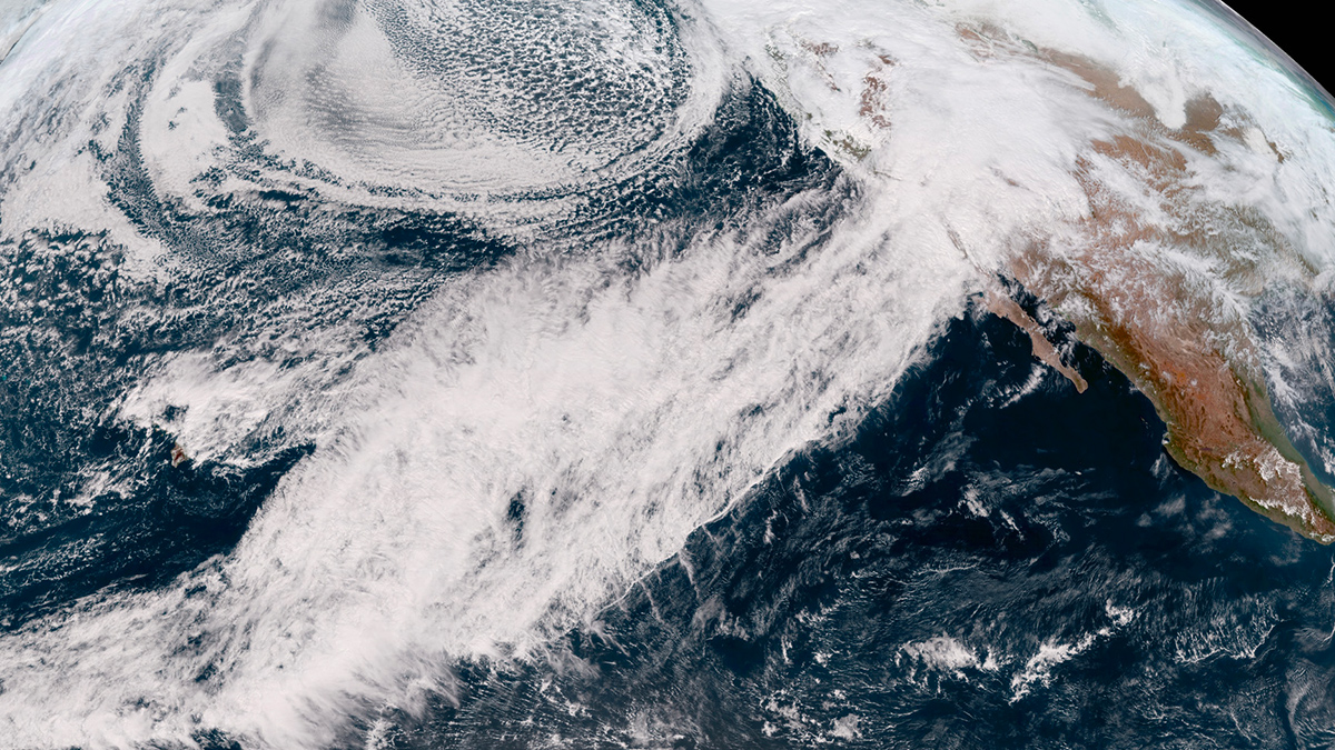
The atmospheric rivers that soaked the state in early 2023 released enough water to warp the ground and douse a deep drought.
geodesy
Posted inResearch Spotlights
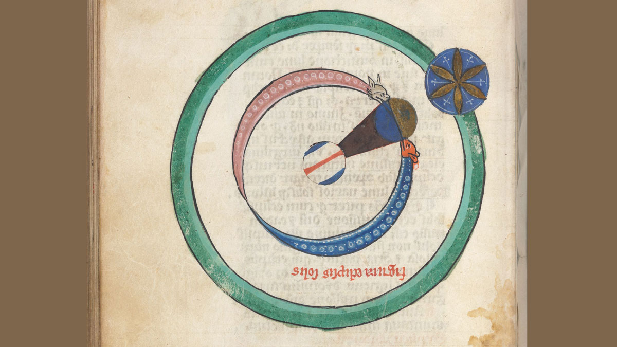
Core Movements Could Be Causing Tiny Shifts in Earth’s Spin Speed
Researchers use ancient eclipse data and new machine learning techniques to understand what processes changed the length of Earth’s days over the past 3,000 years.

Posted inEditors' Highlights
120 Years of Geodetic Data on Kīlauea’s Décollement
A new study explores the deformation and stress changes of Kīlauea’s décollement from 1898 to 2018 by collating an unprecedented 120 years of geodetic data.

Posted inResearch Spotlights
Mantle Upwelling May Have Triggered Morocco Earthquake
Researchers glean new information about the deep origins of a deadly event.
Posted inNews
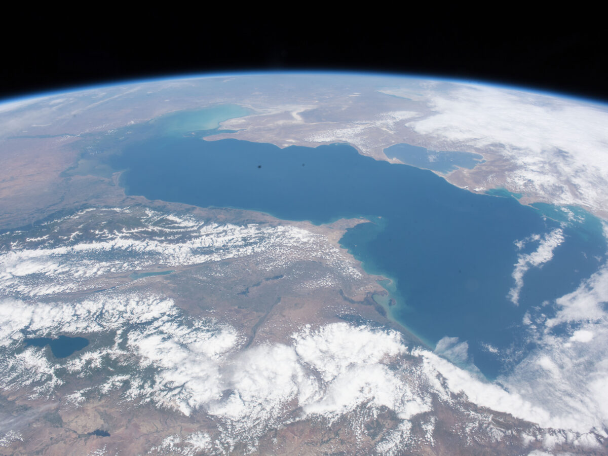
As the Caspian Sea Recedes, Tectonics May Help Shape Its Coastline
Land subsidence and uplift determine where the Caspian Sea’s coastline shifts the fastest.
Posted inEditors' Highlights
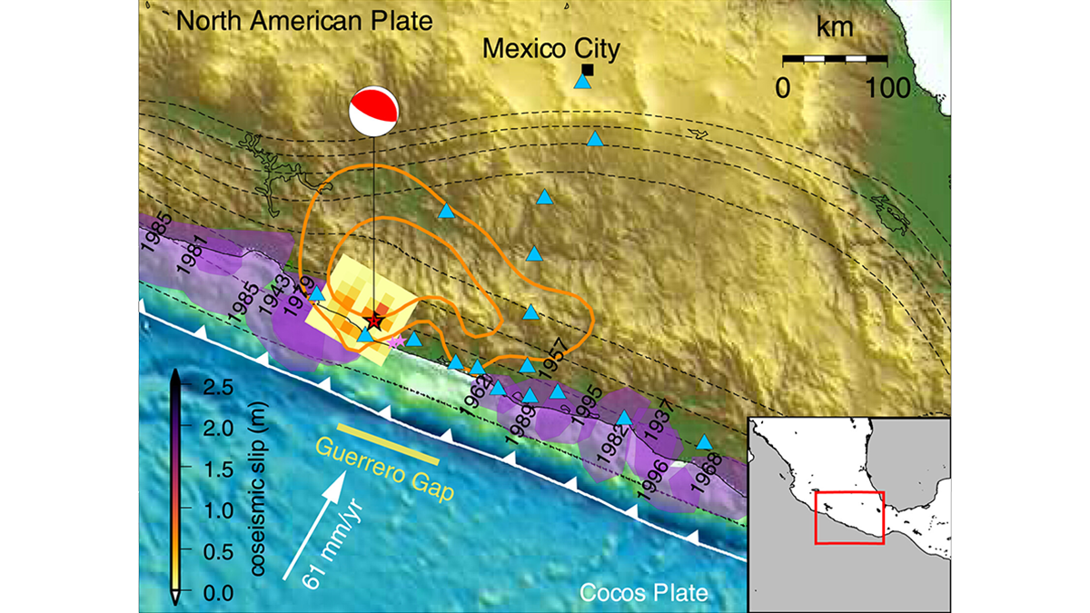
Forecasting Earthquake Ruptures from Slow Slip Evolution
A new generation of physics-based models that integrate temporal slip evolution over decades to seconds opens new possibilities for understanding how large subduction zone earthquakes occur.
Posted inNews
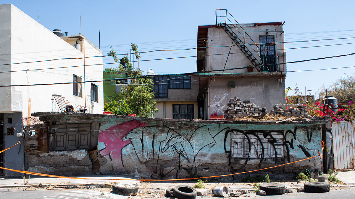
La extracción de agua subterránea está causando el hundimiento de la CDMX
Investigadores aseguran que saber cuánta agua está siendo extraída es crucial para resolver la crisis de infraestructura y de abastecimiento de agua en la capital.

Posted inNews
Sinking Cities and Rising Waters
Climate-driven sea level rise combines with land subsidence in some of Africa’s fastest-growing cities.

Posted inResearch Spotlights
Los primeros eventos de deslizamiento lento observados en el sur de Costa Rica
Cinco eventos observados en la Península de Osa revelan nueva información sobre el papel que estos pequeños y lentos terremotos pueden desempeñar en la acumulación de tensión y riesgos de tsunami a lo largo de las zonas de subducción.

Posted inResearch Spotlights
The First Slow-Slip Events Seen off Southern Costa Rica
Five events observed off the Osa Peninsula shed new light on the role that these small, slow earthquakes can play in strain accumulation and tsunami hazards along subduction zones.