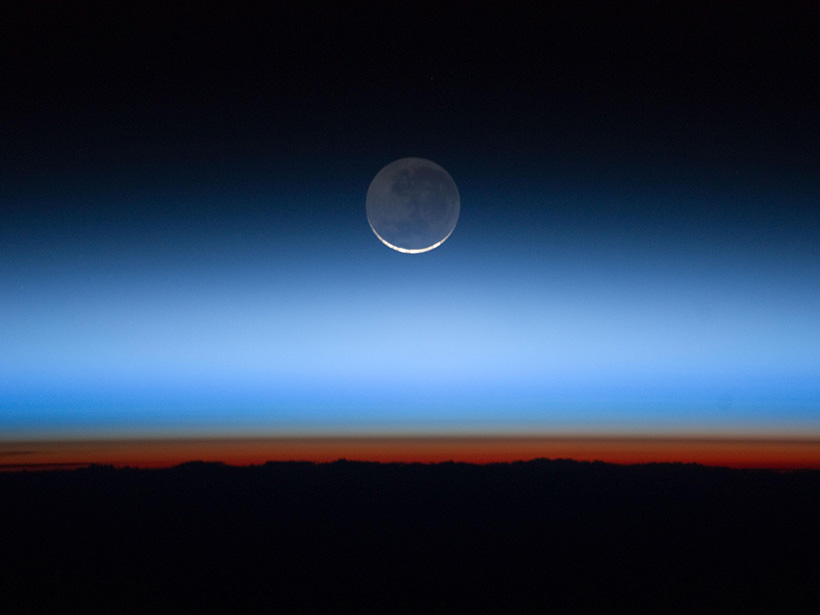
Spaceborne lidar shows that more ice than expected is leaving the tropical tropopause layer in the atmosphere.
Geophysical Research Letters

Posted inEditors' Highlights
The Promise of Spaceborne High Spectral Resolution Lidar
New spaceborne high spectral resolution lidar measurements provide a new view of global aerosols.
Posted inResearch Spotlights
Did the Drop in COVID-Related Emissions Affect the Climate?
Global emissions dropped markedly in 2020, due in large part to lockdowns that slowed economic and social activity, but the climate likely won’t be noticeably affected.
Posted inEditors' Highlights
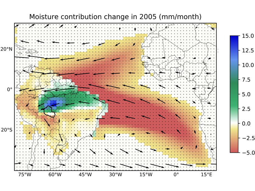
Upwind Forest Buffers Rondonia Cropland Against Regional Drought
During severe Amazonia droughts when oceanic supply of moisture failed, the magnitude of rainfall reduction over Rondonia was moderated by enhanced moisture supply from upwind forests.
Posted inResearch Spotlights
Descifrando las causas de la actividad de los huracanes en el pasado
Registros individuales de paleohuracanes extraídos de los sedimentos de islas azotadas por tormentas no muestran una clara influencia del clima en la frecuencia de los huracanes en el último milenio.
Posted inResearch Spotlights
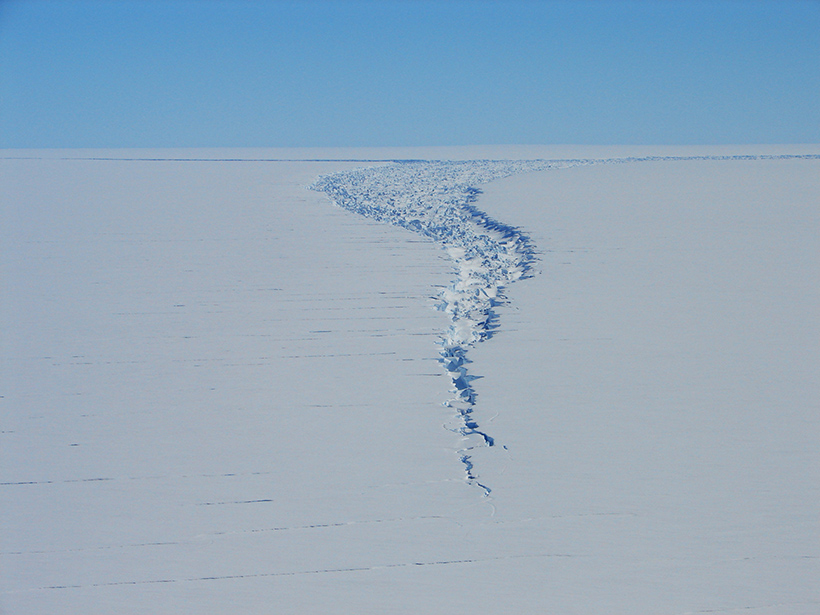
Satellite Captures Detaching Iceberg in Near-Real Time
NASA’s ICESat-2 satellite recorded the cleaving of a 315-billion-ton iceberg from Amery Ice Shelf in 2019, as well as years of subtle cracking and splitting prior to the calving event.

Posted inResearch Spotlights
Researchers Home in on the Age of the Yangtze River
Findings on the river’s age also have implications for past landscape change in Asia.

Posted inEditors' Highlights
When Will the Next Failure Be?
Unprecedented images of fracture networks in laboratory scale experiments mixed with machine learning algorithms help predict the timing of the next failure.

Posted inResearch Spotlights
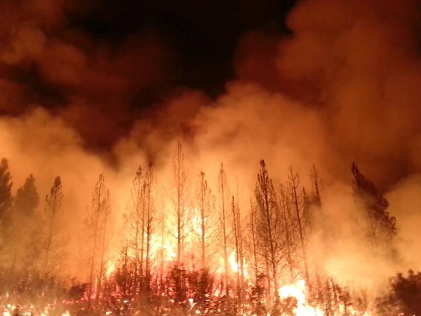
Widespread Wildfire as a Proxy for Resource Strain
Researchers have found a strong correlation between the number of days with widespread, synchronous fire danger and resource allocation across the western United States.