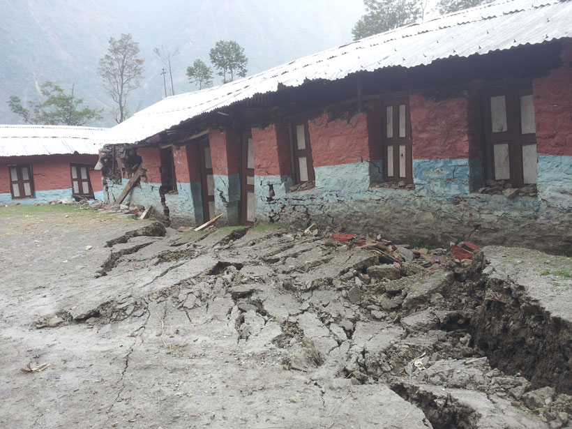
GPS measurements of the Indian and Eurasian plates reveal four locked segments most likely to produce large earthquakes.
GPS & GIS

Posted inResearch Spotlights
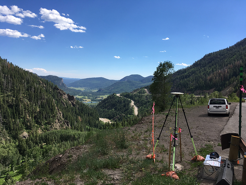
Using GPS Sensors to Capture Key Snowpack Properties
A low-cost, two-antenna GPS setup could enable valuable snow measurements in remote locations, improving predictions of runoff and avalanche risk.
Posted inNews
Airborne Gravity Surveys Are Remaking Elevations in the U.S.
Measuring gravity’s tiny fluctuations is giving the United States an upgraded system of elevations.

Posted inNews
NOAA Monitoring Stations Are Off-Line from a GPS Y2K Moment
The outage could last until November for some stations.
Posted inScience Updates
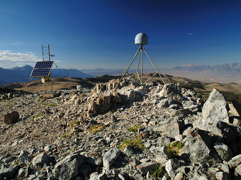
Harnessing the GPS Data Explosion for Interdisciplinary Science
More GPS stations, faster data delivery, and better data processing provide an abundance of information for all kinds of Earth scientists.

Posted inNews
Hack Weeks Gaining Ground in the Earth and Space Sciences
Workshops that fuse traditional learning with Silicon Valley–inspired “hack sessions” are giving scientists a new venue to build community and sharpen their skills.
Posted inScience Updates
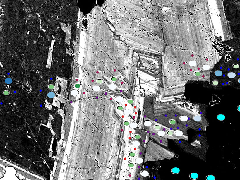
Making Maps on a Micrometer Scale
Geographic information system software, created for mapping cities and continents, works equally well with the minuscule layers and inclusions that record a crystal’s history.

Posted inAGU News
Virtual Poster Showcase Experienced Steady Growth in 2017
A pilot project for high schools and a geographic information system map, as well as other embellishments, have enhanced a program that enables students to present research electronically.

Posted inResearch Spotlights
Measuring Hurricane Wind Speed from Space
A new technique based on GPS signals could provide better wind speed measurements during hurricanes and cyclones.

Posted inResearch Spotlights
Why Do Great Earthquakes Follow Each Other at Subduction Zones?
A decade of continuous GPS measurements in South America indicates that enhanced strain accumulation following a great earthquake can initiate failure along adjacent fault segments.