
New, detailed surveys from the Beaufort Sea reveal a seafloor depression the size of a city block associated with permafrost thaw and likely influenced by the movement of groundwater below.
groundwater
Posted inResearch Spotlights
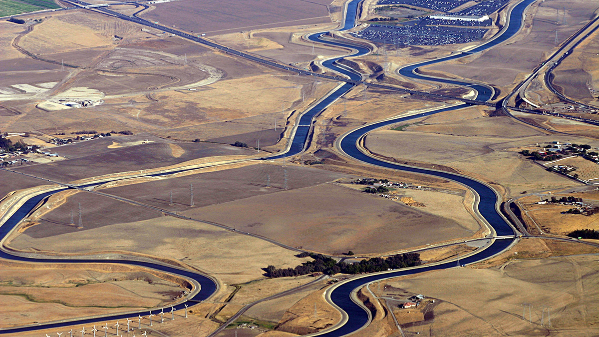
Assessing Water Infrastructure Investments in California
Exploratory modeling in California’s Central Valley indicates that evaluating the costs, benefits, and risks to individual providers is necessary to ensure the viability of future water projects.
![A 3-D image of the study area of Liu et al. [2022] in Kuuguluk River at Salluit, Nunavik (Quebec), Canada. The image shows the locations of A-A’ and B-B’ and lines C1-5.](https://eos.org/wp-content/uploads/2022/04/2021WR031630-Figure-4.png)
Posted inEditors' Highlights
Why is Permafrost Groundwater Surfacing?
Hydrogeological properties of degrading permafrost come to fruition with a new 3-D modeling study that highlights the increasing role of groundwater in the water cycle of high-latitude areas.

Posted inNews
Uranium Detected in Latinx Communities’ Water Systems
The unsafe contaminant levels could not be attributed to differences in regional geology, water source, or community size. Researchers suggest they are due to a failure of regulatory policy.
Posted inEditors' Vox
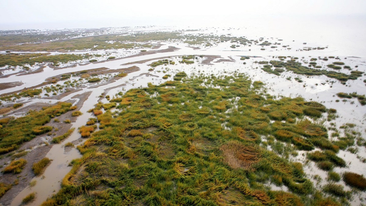
Understanding the Importance of Salt Marshes
Hydrological processes affect plant ecology and the biogeochemical exchange between salt marshes and the sea.
Posted inNews
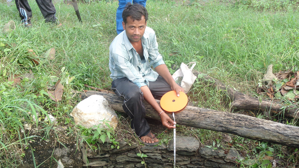
Satellite and on-the-Ground Data Help Monitor Groundwater in India
Village volunteers use remote sensing and manual measurement to help farmers use groundwater more efficiently.

Posted inEditors' Highlights
Evolution is More Important than Environment for Water Uptake
Despite conventional assumptions, a new study shows that evolutionary proximity of species defines root water uptake strategies, not their position in landscape or ambient environment.

Posted inResearch Spotlights
Understanding Tremors Through Tree Rings
Researchers look to carbon isotopes and cell-level wood anatomy to understand how seismic-induced changes in water availability affect tree growth.
Posted inNews
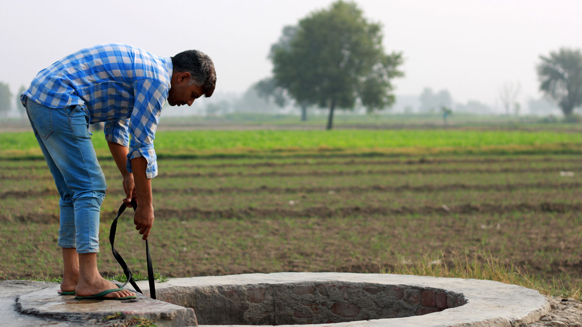
Researchers Trace Threats to Groundwater in India
A handful of new studies analyze the depletion and contamination of groundwater, as well as the effects of climate change—and how communities are responding.
Posted inNews
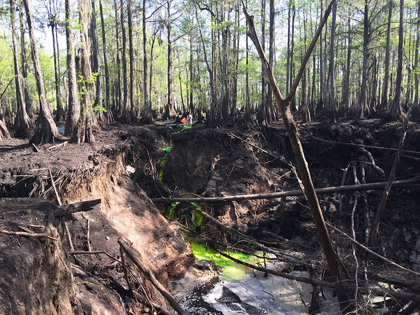
Dyes and Isotopes Track Groundwater from Sink to Spring
The hydraulic connection between a sinkhole and a natural spring—the longest and largest yet documented—could help reduce the guesswork in mapping karst aquifers.