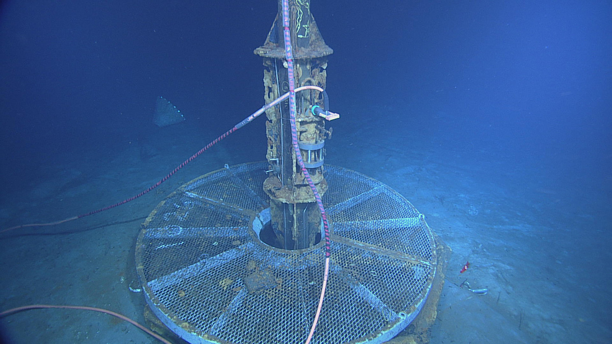
Scientists identify barriers to and opportunities for applying integrated, connected, open, and networked research strategies to natural hazards studies.
Hazards & Disasters

Posted inResearch Spotlights
A Simple Model Predicts Household Lead Exposure Risk
Using both sample data and crowdsourced science, a new model effectively identified houses at risk for higher concentrations of lead.

Posted inENGAGE, News
Which Came First, the Eruption or the Landslide?
Anak Krakatau’s eruption was accompanied by a devastating tsunami. But was the eruption to blame?

Posted inNews
Searching for Earthquakes in the Ionosphere
Earthquakes may release bursts of electrical energy that can be felt in the ionosphere, kilometers above Earth. The theory remains controversial, though.
Posted inNews
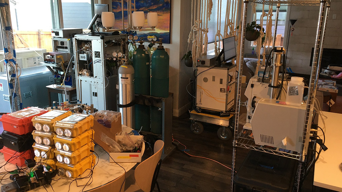
Crowdsourced Science Helps Monitor Air Quality in Smoke-Damaged Homes
Researchers collaborate with residents to measure airborne chemicals in homes and evaluate how clean the air really is after remediation from Colorado’s Marshall Fire.

Posted inENGAGE, News
Coal Seam Fires Burn Beneath Communities in Zimbabwe
Underground fires threaten the health of people and livestock living near mines supporting the country’s growing coal industry.
Posted inResearch Spotlights
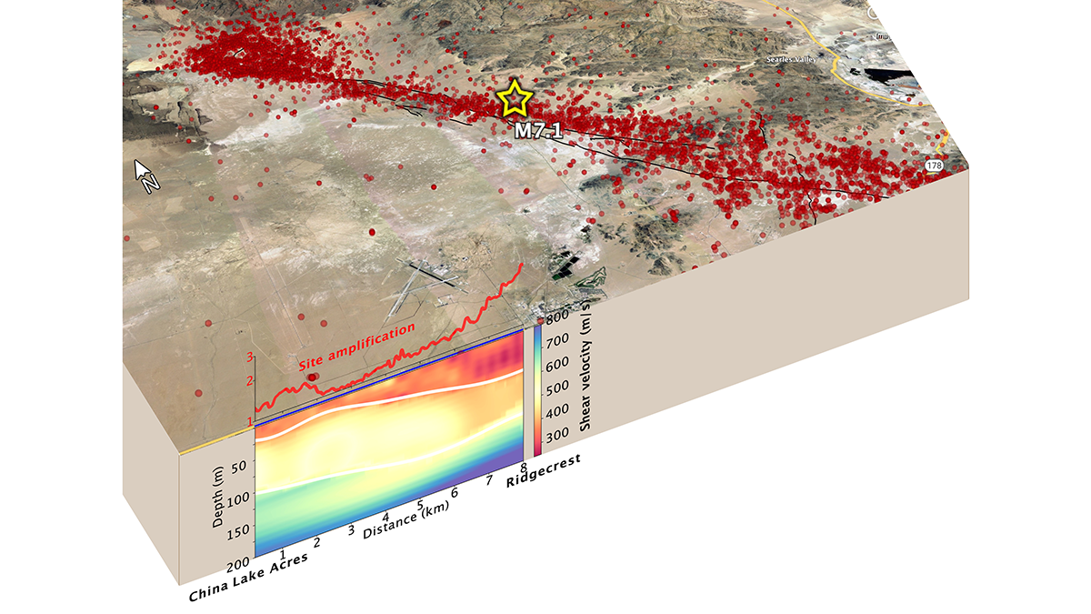
Fiber-Optic Cables Can Produce High-Resolution Underground Maps
Telecom fiber repurposed as distributed acoustic sensing arrays can image near-surface structure and potentially improve seismic hazard mapping in urban areas.

Posted inENGAGE, News
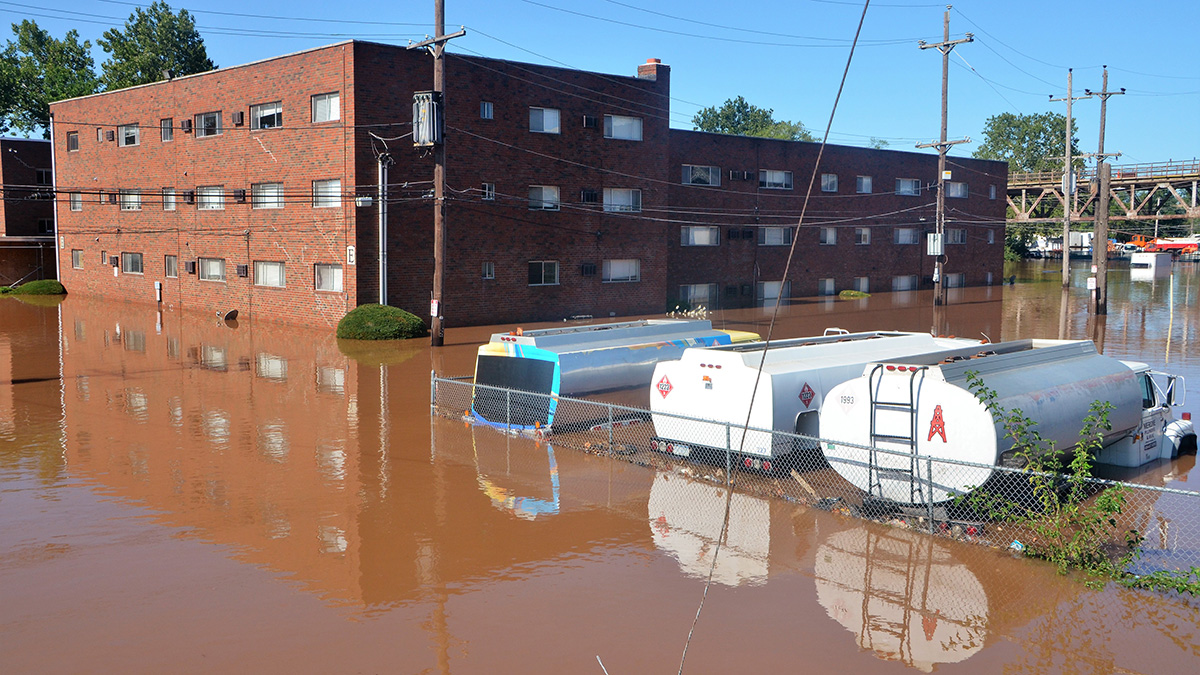
Deforestation Is Flooding West African Coasts
The lack of trees is contributing to increased rainfall along the coast of southwest Africa, where communities are already vulnerable to flash flooding.
Posted inNews
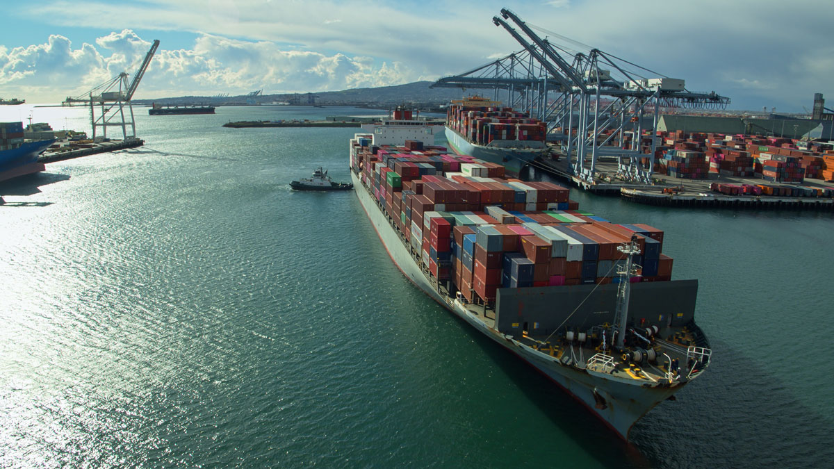
Rising Seas Boost Tsunami Impacts on Distant Shorelines
Modeling suggests that rising sea levels will render Southern California ports increasingly vulnerable to waves from distant-source tsunamis.