• About
  • Special Reports
  • Topics
    • Climate
    • Earth Science
    • Oceans
    • Space & Planets
    • Health & Ecosystems
    • Culture & Policy
    • Education & Careers
    • Opinions
  • Projects
    • Postcards From the Field
    • ENGAGE
    • Editors’ Highlights
    • Editors’ Vox
    • Eos en Español
    • Eos 简体中文版
    • Print Archive: 2015–2025
  • Policy Tracker
  • Blogs
    • Research & Developments
    • The Landslide Blog
  • Newsletter
  • Submit to Eos
  • AGU.org
  • Career Center
  • Join AGU
  • Give to AGU
  • About
  • Special Reports
  • Topics
    • Climate
    • Earth Science
    • Oceans
    • Space & Planets
    • Health & Ecosystems
    • Culture & Policy
    • Education & Careers
    • Opinions
  • Projects
    • Postcards From the Field
    • ENGAGE
    • Editors’ Highlights
    • Editors’ Vox
    • Eos en Español
    • Eos 简体中文版
    • Print Archive: 2015–2025
  • Policy Tracker
  • Blogs
    • Research & Developments
    • The Landslide Blog
  • Newsletter
  • Submit to Eos
Skip to content
  • AGU.org
  • Career Center
  • Join AGU
  • Give to AGU
Eos

Eos

Science News by AGU

Support Eos
Sign Up for Newsletter
  • About
  • Special Reports
  • Topics
    • Climate
    • Earth Science
    • Oceans
    • Space & Planets
    • Health & Ecosystems
    • Culture & Policy
    • Education & Careers
    • Opinions
  • Projects
    • Postcards From the Field
    • ENGAGE
    • Editors’ Highlights
    • Editors’ Vox
    • Eos en Español
    • Eos 简体中文版
    • Print Archive: 2015–2025
  • Policy Tracker
  • Blogs
    • Research & Developments
    • The Landslide Blog
  • Newsletter
  • Submit to Eos

history

Topographic lidar map of ancient Maya city of Tikal
Posted inNews

Lidar Uncovers Thousands of New Maya Structures

Jenessa Duncombe, Staff Writer by Jenessa Duncombe 27 September 20189 May 2022

Jungle-piercing lidar surveys over ancient Maya sites give scientists the most extensive maps of lowland Maya civilization to date.

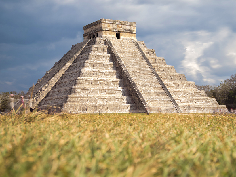
El Castillo, a pyramid in the ancient Maya city of Chichén Itzá.
Posted inENGAGE, News

Severe Drought May Have Helped Hasten Ancient Maya’s Collapse

Jenessa Duncombe, Staff Writer by Jenessa Duncombe 2 August 201821 March 2022

Chemical signatures from sediments in lake cores reveal that the centuries-long drought during the fall of Classic Maya civilization was worse than researchers had imagined.
Posted inEditors' Highlights

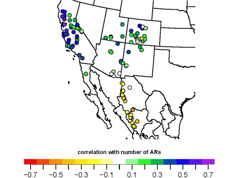
500 Years of Atmospheric River Landfalls in Southwestern USA

by V. Trouet 20 July 201830 January 2024

A network of tree-ring chronologies has been used to develop the first reconstruction of atmospheric river landfalls on the US Pacific Coast over the last 500 years.
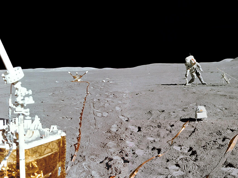
Recently restored data suggest that astronaut disturbances to the lunar surface resulted in observed subsurface warming.
Posted inResearch Spotlights

The Case of the Missing Lunar Heat Flow Data Is Finally Solved

Sarah Stanley, Science Writer by Sarah Stanley 25 June 201810 March 2022

Decades-old data analyzed for the first time suggest that astronauts’ disturbance of the Moon surface increased solar heat intake, warming the ground below.
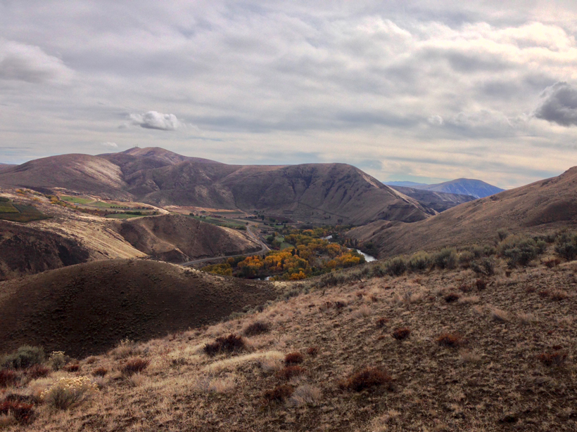
Researchers combine diverse data sets to analyze earthquake recurrence intervals in central Washington State.
Posted inResearch Spotlights

Constraining Central Washington’s Potential Seismic Hazard

by Terri Cook 19 June 20183 July 2023

Fault geometry and slip rate analyses show deformation in the Yakima Fold Province accelerated in the Pleistocene and has remained elevated, offering new insights into earthquake recurrence intervals.
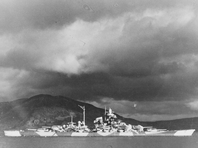
German warship Tirpitz at anchor in Alta Fjord, protected by antitorpedo nets, in northern Norway during 1943–1944.
Posted inNews

Tree Rings Tell a Tale of Wartime Privations

Bas den Hond, Science Writer by Bas den Hond 11 April 20184 October 2021

In occupied Norway during World War II, the German navy deployed thick chemical fog to protect a precious battleship. The effects are still detectable in trees.
Posted inEditors' Vox

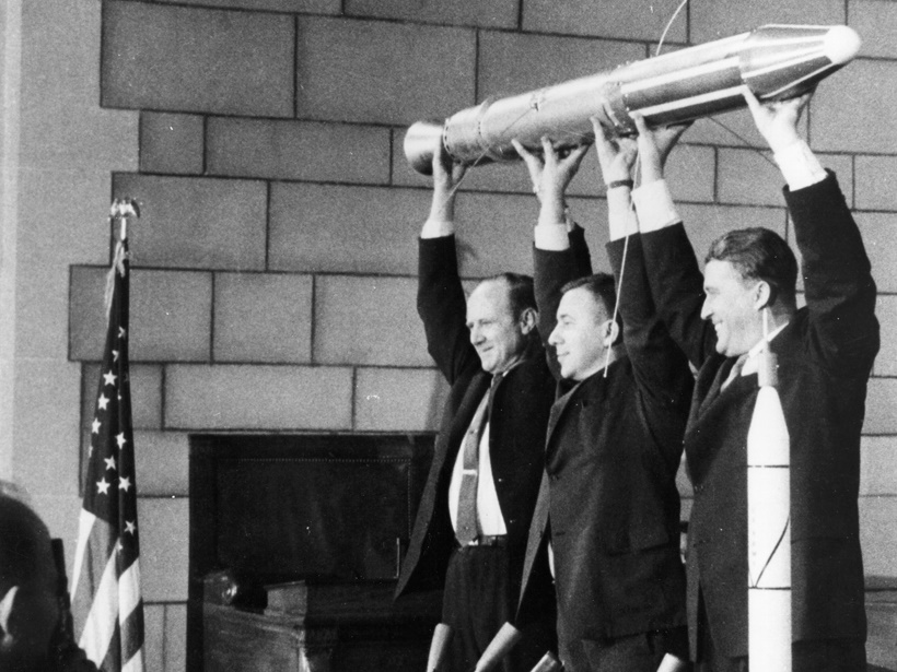
Earth’s Radiation Belts: Celebrating Six Decades of Discovery

by D. N. Baker and L. J. Lanzerotti 20 March 20181 March 2023

A recent celebration of the 60th anniversary of the launch of Explorer 1 reflected on the incredible progress and scientific insights from this and subsequent space missions.
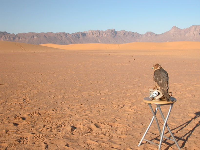
Researchers trace medieval temperature trends across Africa and Arabia
Posted inResearch Spotlights

Medieval Temperature Trends in Africa and Arabia

by Terri Cook 9 February 201821 February 2023

A synthesis of paleotemperature reconstructions from published case studies suggests warm onshore temperatures persisted across most of Afro-Arabia between 1000 and 1200 CE.
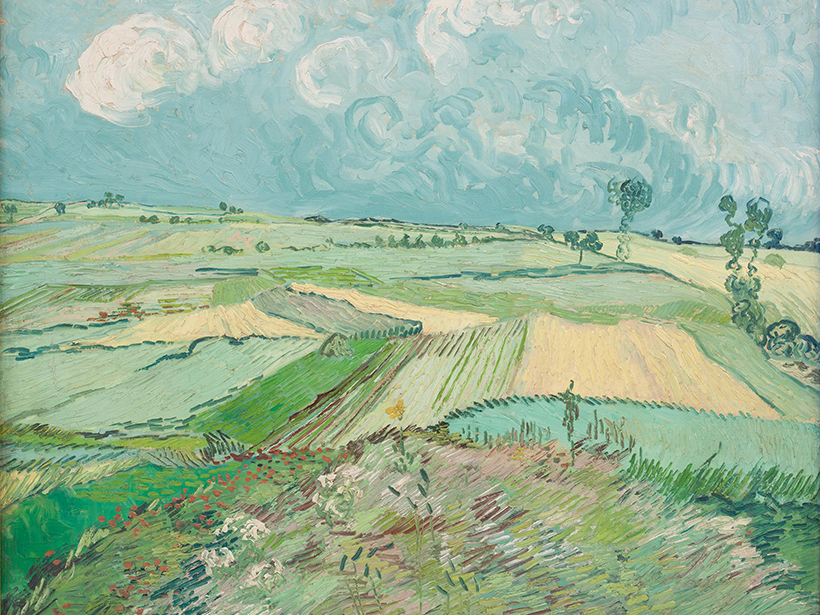
Wheat fields painting
Posted inGeoFIZZ

A Window into the Emerging Anthropocene…Through Art

JoAnna Wendel, freelance science writer and illustrator by JoAnna Wendel 9 January 20184 October 2022

Want a snapshot of how humans have been changing their landscapes since the Industrial Revolution? Look at artwork at a local museum, one geoscientist says.

Ears of corn (maize), showing a wide range of colors and shapes that reflect different varieties
Posted inNews

Corn’s Ancestor Could Help It Go Green

by A. Fox 4 January 201820 October 2021

The grandfather of modern corn may hold the key to reducing its need for chemical fertilizers.

Posts pagination

Newer posts 1 … 20 21 22 23 24 … 28 Older posts
Over a dark blue-green square appear the words Special Report: The State of the Science 1 Year On.

Features from AGU Publications

Research Spotlights

Measuring Deep-Ocean Oxygen with Microscopic Magnetic Fossils

15 October 202615 October 2026
Editors' Highlights

Melting Permafrost Impacts Arctic Rivers in Vulnerable Regions

15 October 202615 October 2026
Editors' Vox

Where Fire Ends, Chemistry Begins

30 September 202630 September 2026
Eos logo at left; AGU logo at right

About Eos
ENGAGE
Awards
Contact

Advertise
Submit
Career Center
Sitemap

© 2026 American Geophysical Union. All rights reserved Powered by Newspack