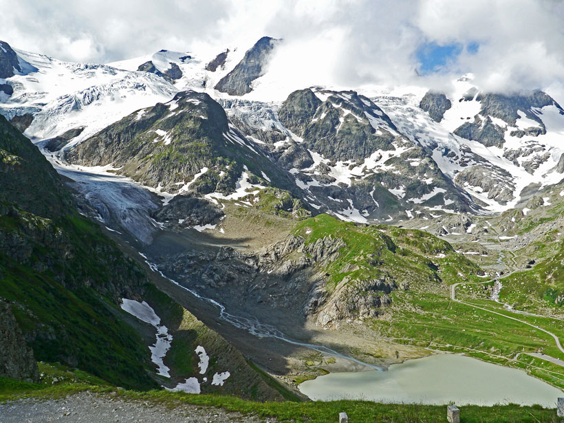
Streams that flow down mountainsides are more turbulent than those that run along forest floors, which leads to faster gas exchange between water and air.
Modeling
Posted inNews
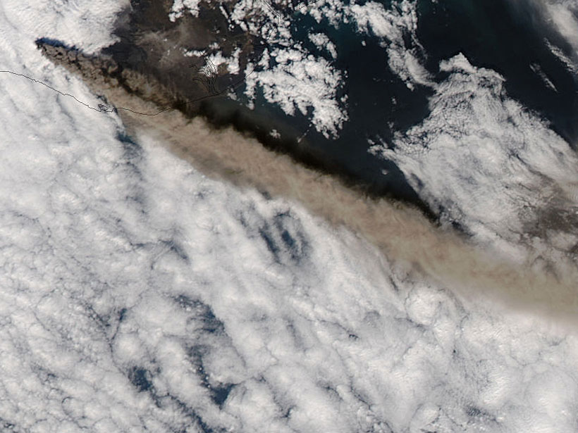
The Art of Volcanic Ash Modeling 10 Years After Eyjafjallajökull
The ash plumes from the eruption of the Icelandic volcano in 2010 disrupted air travel in Europe for several weeks. Since then, scientists have developed models to mitigate ash’s impacts.

Posted inResearch Spotlights
An Element of Randomness in Modeling Arctic Ice Cover
Incorporating random variation of temperature, humidity, and wind offers a computationally cheap alternative to improving resolution in an Earth system model when predicting when Arctic sea ice will disappear.
Posted inEditors' Highlights
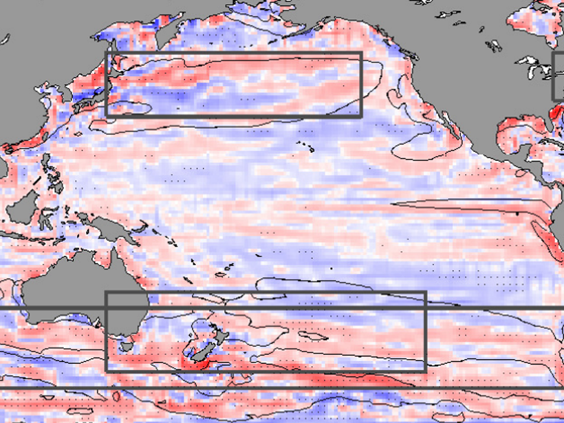
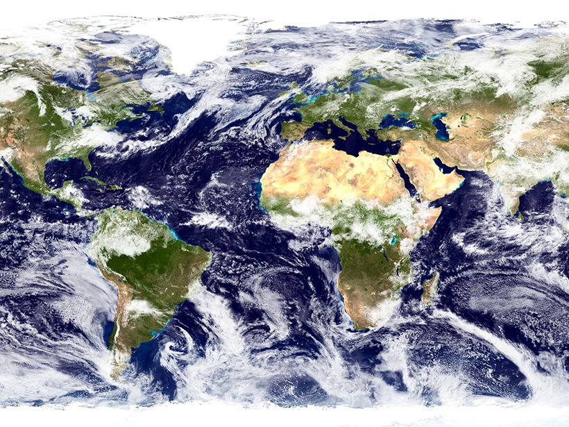
Ocean Gyres Observed to Move Poleward
Basin-wide ocean gyres have been observed to be slowly migrating toward the poles and, although natural variations contribute, climate simulations suggest the shift is in response to global warming.
Posted inEditors' Highlights
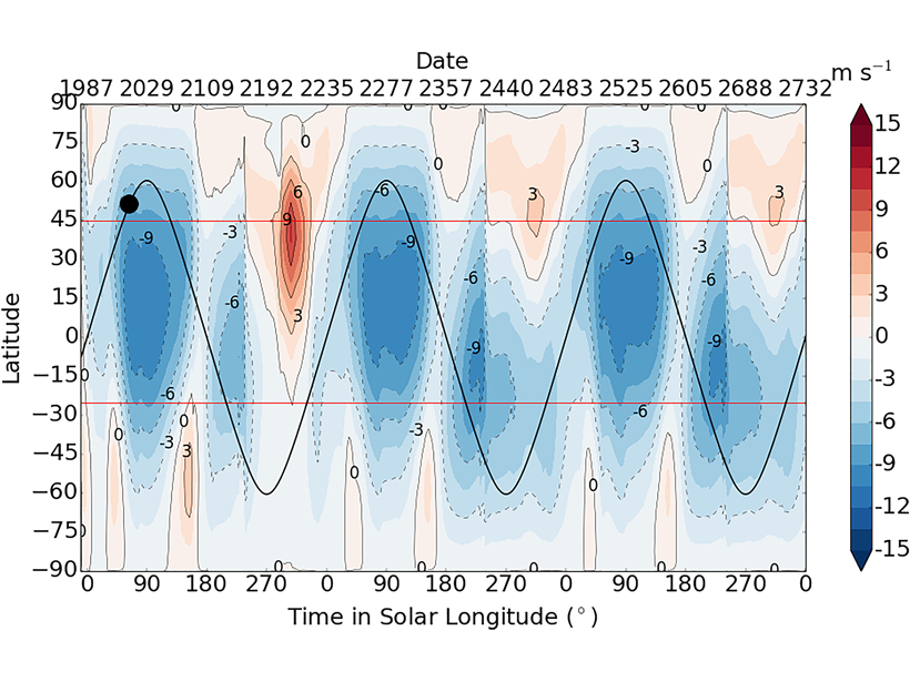
Capturing Pluto’s Heartbeat in a Computer
Unprecedented global climate model simulations, incorporating observational data from the New Horizons mission, reveal atmospheric circulations driven by a large ice cap on Pluto.
Posted inResearch Spotlights
Machine Learning Improves Weather and Climate Models
New research evaluates the performance of generative adversarial networks for stochastic parameterizations.

Posted inNews
Ancient Impact’s Seismic Waves Reveal Pluto’s Ocean, Core
By modeling the waves produced by a massive, ancient impact, scientists have begun to unlock the secrets of Pluto’s interior.
Posted inResearch Spotlights
New Models Give Global Picture of Mercury Content in Oceans
Concentrations of methylated mercury in high latitudes show the importance of sunlight and biological activity for cycling the metal.
Posted inResearch Spotlights
Why Is Climate More Sensitive in the Latest Earth System Models?
Compared with previous generations, current Earth system models predict that Earth’s climate is more sensitive to carbon dioxide. Where does the increased sensitivity come from?
Posted inFeatures
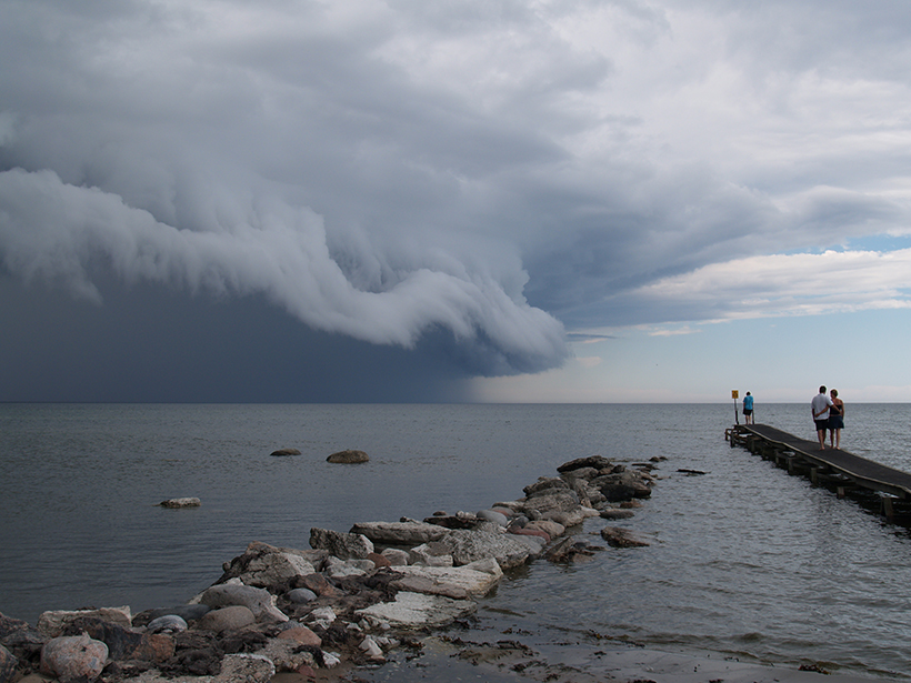
Modeling Under Pressure
At a critical moment in the effort to end one of the world’s worst oil spills, one scientist holed up in his office and pulled an all-nighter to calculate the well’s aquifer support.