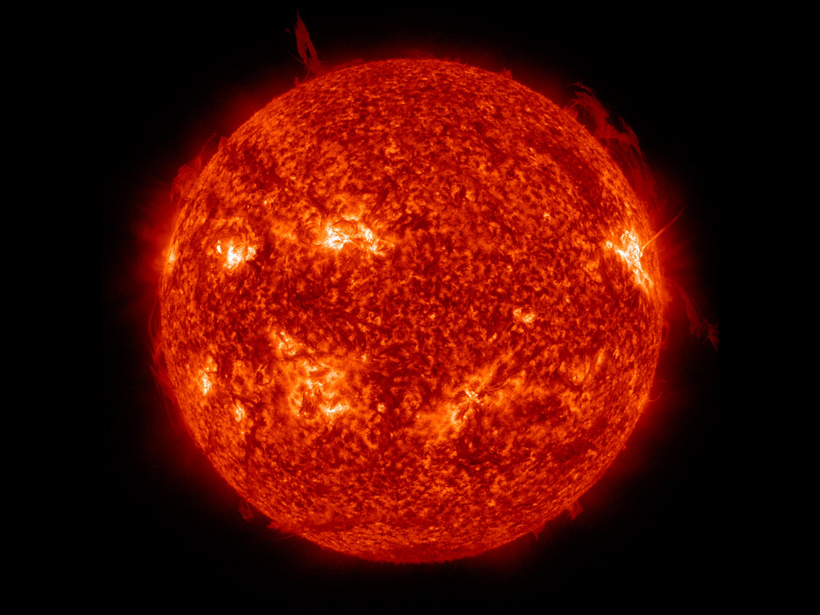
Using a combination of independent models and observations over multiple timescales, scientists verify two important models that gauge the amount of solar radiation Earth receives.
Modeling

Posted inScience Updates
Hackathon Speeds Progress Toward Climate Model Collaboration
Climate scientists collaborated in a nationwide event to analyze and compare archived Earth system model simulations and to generate input for the IPCC’s upcoming climate change report.

Posted inNews
Heat Waves Born of Earth and Sky
Researchers use computer simulations to uncover the significant contributions that dry soil and atmospheric wind patterns make to major heat waves.
Posted inNews
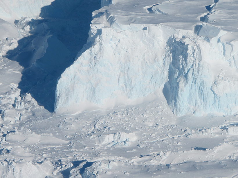
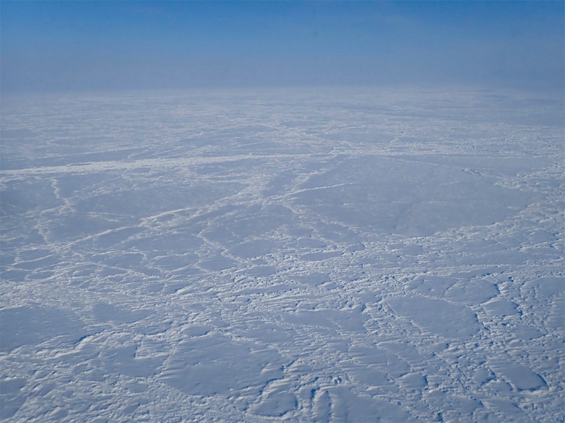
What Lies Beneath Is Important for Ice Sheets
New research reconstructing the topography of Antarctica shows that the continent has 25% less land above sea level than when ice first started to accumulate 34 million years ago.

Posted inNews
Finding Faults in Our Past: Uncovering the Messina Earthquake
The source of the deadly 1908 Italian earthquake may finally be identified, thanks to a fresh look at the geomorphology of the Strait of Messina.

Posted inEditors' Highlights
Hydropower and Bugs
Alpine hydropower plants commonly flush sediment that accumulates at intakes, but the associated rapid rise in discharge, turbidity, and streambed instability put aquatic insects at risk.
Posted inEditors' Highlights
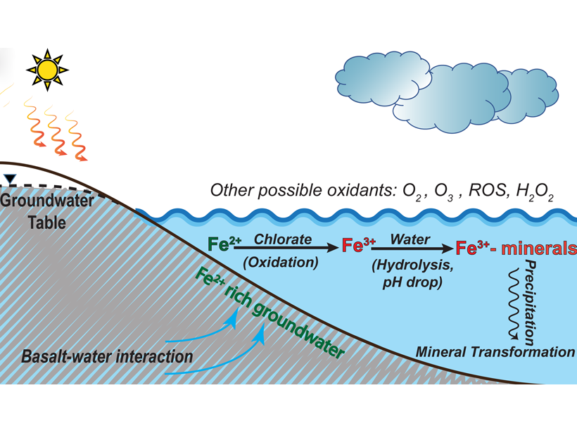
Why Is the Red Planet Red? Chlorate May Oxidize Mars’ Surface
Laboratory experiments and geochemical model suggest that chlorate is very effective to oxidize reducing iron to reddish iron oxides on Mars when liquid water was present on the surface.

Posted inResearch Spotlights
Improving Estimates of Coastal Carbon Sequestration
A new two-model approach could reduce uncertainties in calculated rates of “blue carbon” accumulation within soils of seagrass, tidal marsh, and mangrove habitats.
Posted inFeatures
Three Times Tectonics Changed the Climate
Fifty years after the birth of modern plate tectonics theory, a group of researchers highlights three key examples of how our planet’s shape-shifting outer layer has altered our climate.

Posted inNews
Sparks May Reveal the Nature of Ash Plumes
In lab experiments and models, researchers uncover how ash can affect the standing shock waves of erupting volcanoes. Their findings may lead to new predictions of volcanic ash hazards.