
Researchers have developed a model to inform the regulation of sulfate levels in freshwater environments that are threatening the iconic plant.
Modeling

Posted inResearch Spotlights
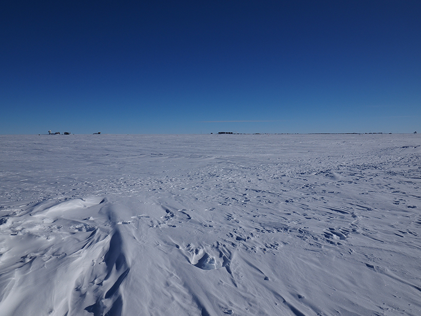
Open-Source Tool Aims to Boost Confidence in Ice Sheet Models
The software could help strengthen ice sheet models to provide a better basis for policy decisions.
Posted inResearch Spotlights
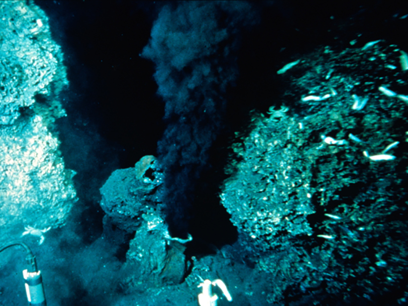
Is the Lower Crust Convecting Beneath Mid-Ocean Ridges?
The first attempt to couple models of hydrothermal circulation and magmatic convection along fast-spreading ridges may explain the spacing of hydrothermal vent fields along the East Pacific Rise.

Posted inResearch Spotlights
How the Micrometeorology of Alpine Forests Affects Snowmelt
A field study in the Swiss Alps showed considerable spatial and temporal variability in forest air and surface temperatures, with implications for snowmelt models.

Posted inOpinions
When Less Is More: Opening the Door to Simpler Climate Models
Earth system models are resource intensive and complex. To cut through this complexity, the Community Earth System Model project will now be embracing a hierarchy of simpler climate models.
Posted inScience Updates
Stable Isotopes in Paleoclimate Reanalysis
Second Annual Workshop of the Last Millennium Reanalysis Project; Friday Harbor, Washington, 25–26 October 2016

Posted inNews
Deepwater Horizon Dispersant Cleared the Air, New Model Shows
A simulation of oil and gas leakage during the Deepwater Horizon disaster finds that the main chemical dispersant used improved air quality for emergency responders.
Posted inResearch Spotlights
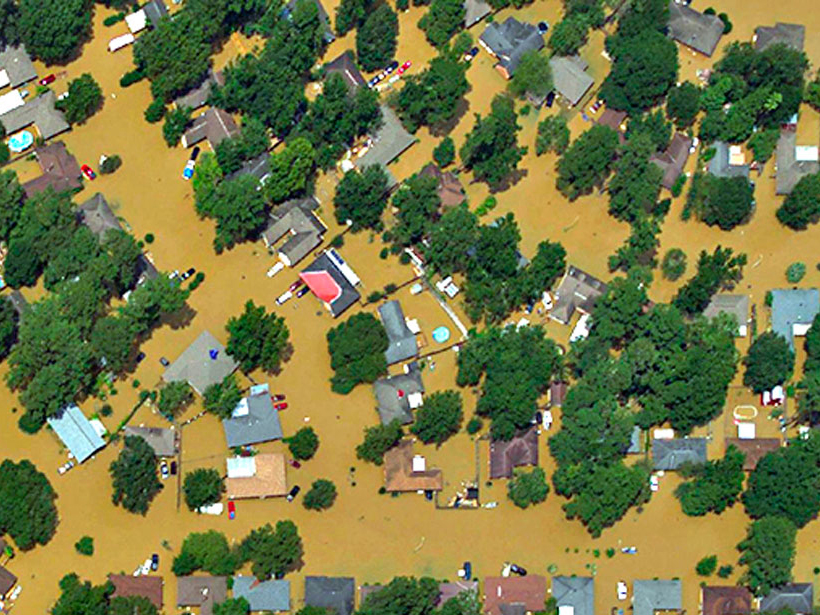
Deciphering Deluges
New modeling approach reexamines two key assumptions about flooding.
Posted inResearch Spotlights
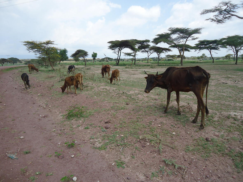
How Can We Best Manage Shared Resources?
Researchers develop a mathematical model to shed light on the social, economic, and ecological challenges of governing resources such as fisheries, forests, grazing lands, and the atmosphere.
Posted inResearch Spotlights
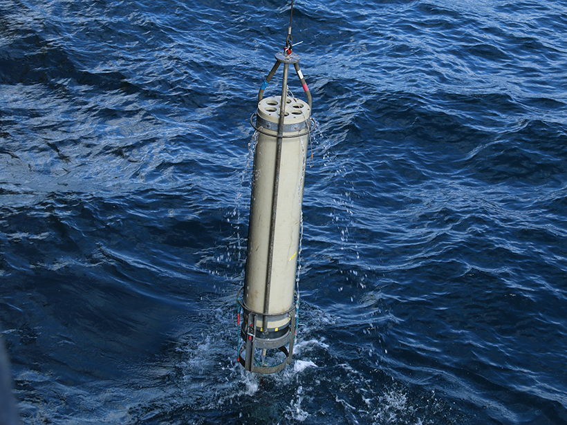
New Evidence Challenges Prevailing Views on Marine Carbon Flux
Small, slow-sinking organic particles may play a bigger role than previously thought in the transport of carbon below the surface ocean.