
Not all tsunamis come from the seafloor, some are triggered by the atmosphere, driven by fast-moving storms and pressure waves, and can strike coasts with little warning.
Oceans
Posted inNews
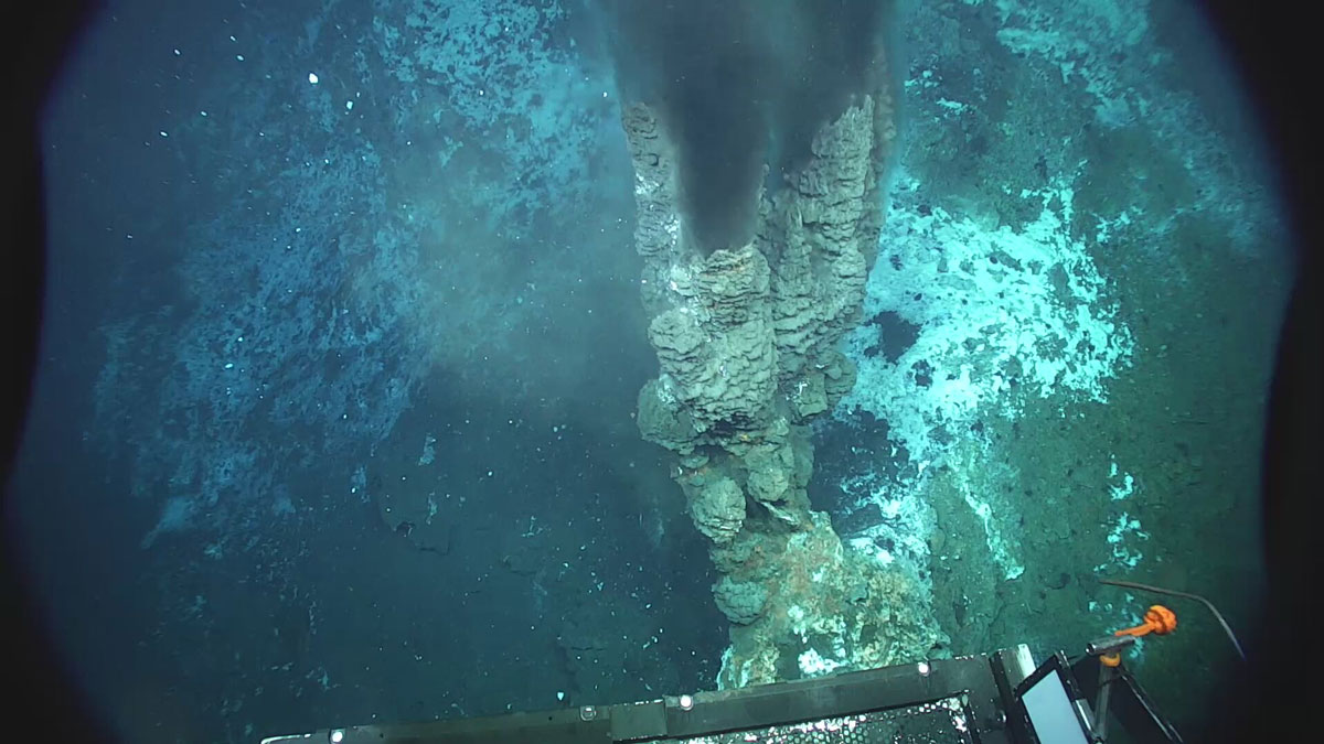
A Mid-Ocean Ridge in the Norwegian Sea Pumps Out Hydrogen
Vent fluids collected from the Knipovich Ridge contain unexpectedly high concentrations of hydrogen, potentially produced by the degradation of organic matter.
Posted inNews
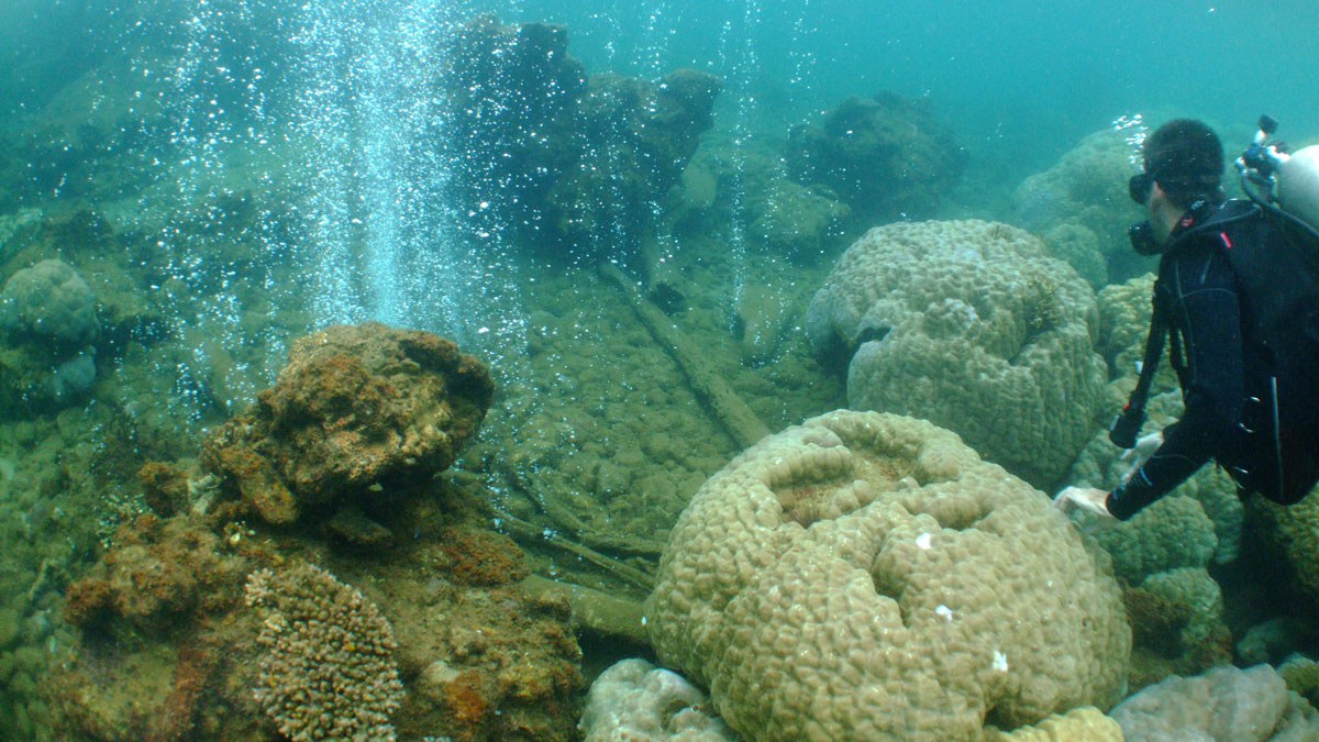
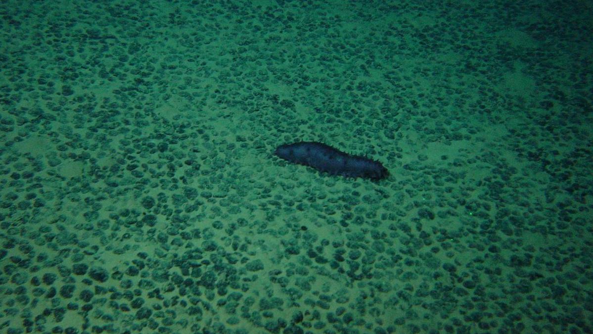
Coral Diversity Drops as Ocean Acidifies
As seawater becomes steadily more acidic, complex branching corals die off and are replaced with hard boulder corals and algae.

Posted inNews
How the Rise of a Salty Blob Led to the Fall of the Last Ice Age
Scientists have long suspected that high salinity levels in the deep ocean were responsible for keeping carbon dioxide locked away during the last ice age. New research finds the strongest evidence yet.
Posted inResearch Spotlights
Our Ocean’s “Natural Antacids” Act Faster Than We Thought
New evidence from New Zealand suggests that calcium carbonate dissolution occurs not just over millennial timescales, but over annual and decadal ones too.
Posted inEditors' Highlights
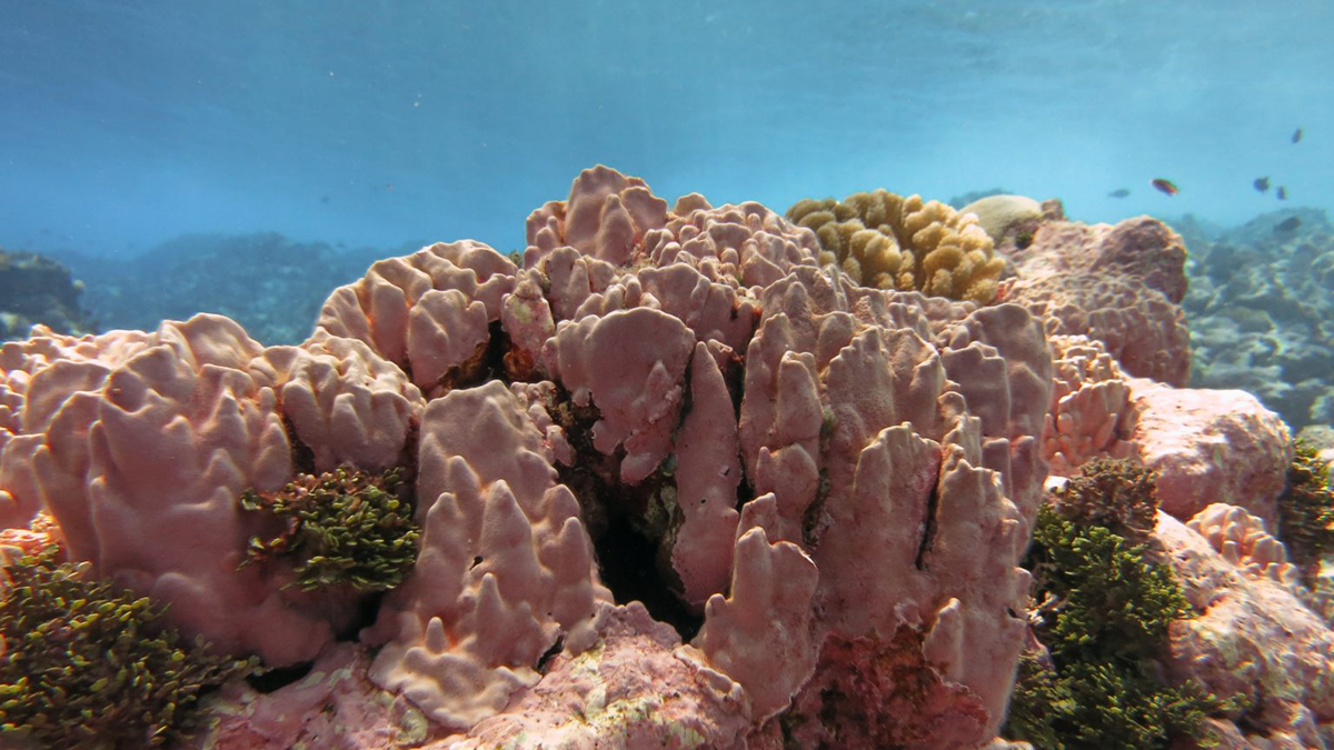
Coastal Coralline Algae Naturally Survive Persistent, Extreme Low pH
Time-series monitoring shows that a coastal coralline algae reef is naturally exposed to extreme low pH levels, suggesting potential adaptation of this biodiverse habitat to future ocean acidification.
Posted inResearch & Developments
Trump Administration to Speed Up Permitting for Deep Sea Mining, Even Beyond U.S. Boundaries
NOAA has finalized a rule that will expedite the permit and license application process for deep seabed mining and allow companies to mine beyond U.S. jurisdictional boundaries.
Posted inNews
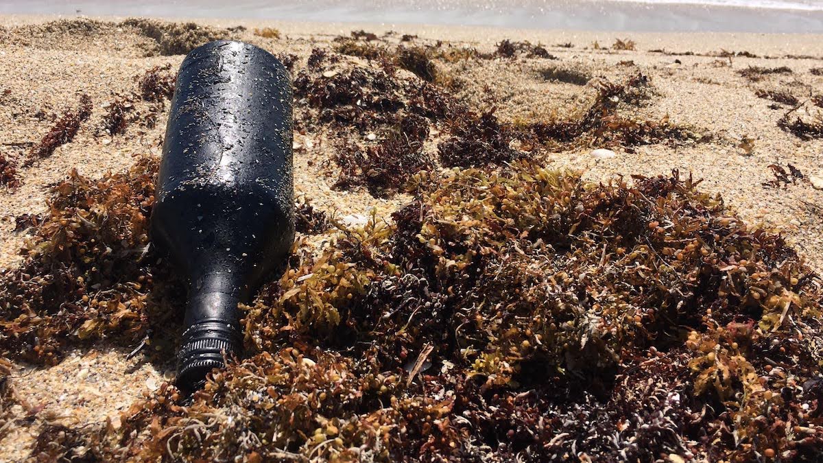
Plastic Debris Helps Oil Residues Reach Farther Across the Ocean
Scientists matched oil residues found in Florida to a Brazilian spill thousands of miles away.
Posted inResearch Spotlights
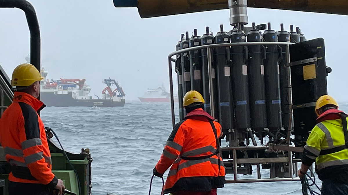
Marine Snow Grows Faster and Fluffier as It Sinks
New observations highlight how abiotic and biotic processes influence the tiny oceanic particles.
Posted inResearch Spotlights
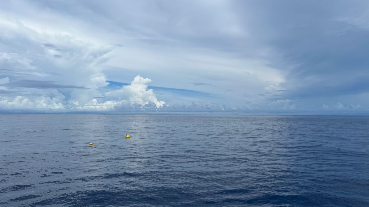
AI Sheds Light on Hard-to-Study Ocean Currents
The Maluku Strait is a key predictor of conditions in the Indonesian Throughflow, modeling shows.