
Existing theory underestimates the mixing of freshwater and seawater by up to 50%.
Oceans

Posted inResearch & Developments
In 2025, the Ocean Stored a Record-Breaking Amount of Heat, Again
The ocean soaked up more heat last year than any year since modern measurements began around 1960, according to a new analysis published in Advances in Atmospheric Science.
Posted inResearch Spotlights
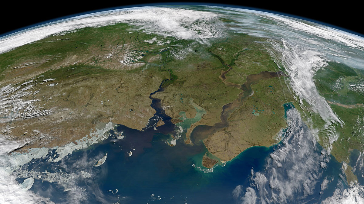
New River Chemistry Insights May Boost Coastal Ocean Modeling
By more realistically accounting for river inputs, researchers reduced overestimation of the amount of carbon dioxide absorbed by coastal waters.
Posted inNews
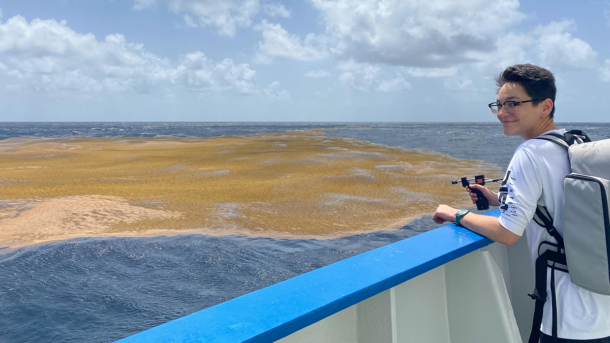
The Northern Sargasso Sea Has Lost Much of Its Namesake Algae
There’s less than a tenth as much Sargassum as there was a few years ago, a shift that may be linked to increasing sea surface temperatures in the Gulf of Mexico.
Posted inResearch Spotlights
What Could Happen to the Ocean’s Carbon If AMOC Collapses
Mass glacier melting may have led this influential ocean current system to collapse at the end of the last ice age. A pair of modeling studies examines how such a collapse could affect dissolved inorganic carbon and carbon isotopes in Earth’s oceans.

Posted inResearch & Developments
Science Escapes Largest Cuts in Latest Budget Bills
Today, top appropriators in the U.S. Senate and House of Representatives released a three-bill appropriations package for fiscal year 2026 (FY26) that largely rejects drastic cuts to federal science budgets that President Trump proposed last year.

Posted inResearch Spotlights
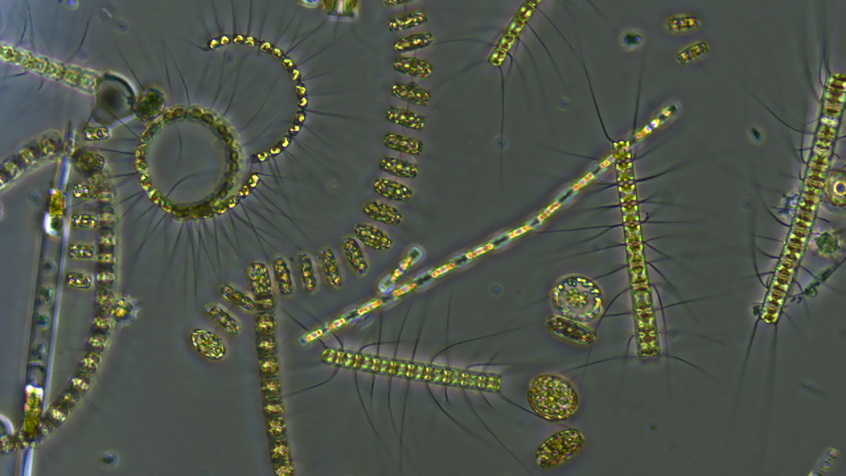
How a Move to the Shallows 300,000 Years Ago Drove a Phytoplankton Bloom
And what that could mean for today’s ocean.
Posted inNews
Las olas de calor marinas lentifican el flujo de carbono de los océanos
Cuando el plancton se encuentra en agua caliente, la materia orgánica se estanca en la superficie e interrumpe el transporte de carbono hacia el fondo océanico.

Posted inResearch Spotlights
Marine Heat Waves Can Exacerbate Heat and Humidity over Land
Researchers found the unprecedented 2023 East Asian marine heat wave increased land temperatures and humidity by up to 50%.
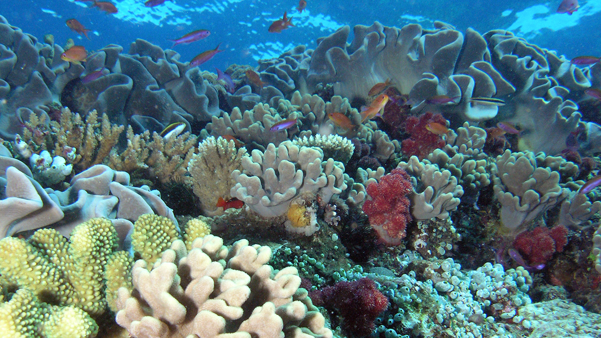
Posted inAGU News
Preserving Corals to Study the Past and Document the Present
Corals hold valuable hints about our planet’s climate history, and they’re continuing to document today’s changing ocean. Scientists are working to preserve and protect these reefs of evidence.