
A global characterization of mantle flow patterns beneath active oceanic transforms suggests pervasive upwelling stabilizes divergent plate boundaries by warming and weakening these enigmatic features.
plate tectonics
Posted inEditors' Highlights
Tracking Deep-Earth Processes from Rapid Topographic Changes
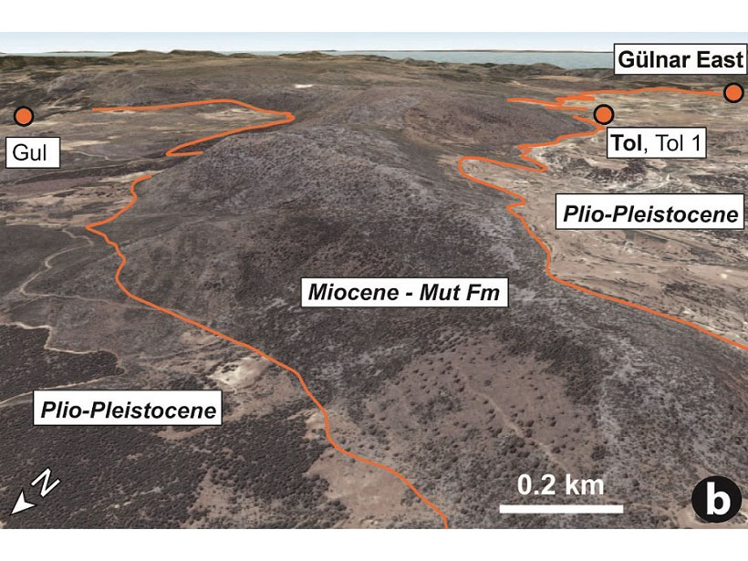
Rapid elevation-rise in Turkey, tracked by marine sediments that now sit at 1.5 km in elevation, is linked to deep-Earth processes that can explain short-lived, extreme rates of topographic change.

Posted inNews
Were Mexico’s September Quakes Chance or a Chain Reaction?
Last year, two major earthquakes—one 12 days after the first—shook Mexico. New analysis blames this very unlikely event on chance. But one of the pair may have triggered a third large nearby temblor.
Posted inEditors' Vox
Modeling Megathrust Zones
A recent paper in Review of Geophysics built a unifying model to predict the surface characteristics of large earthquakes.

Posted inResearch Spotlights
Scientists Create Catalog of Altotiberina Fault in Italy
More than 37,000 small earthquakes paint a picture of the fault’s behavior and seismic potential.
Posted inEditors' Highlights
The Many Magmatic Modifications to the African Continent
How the very slow moving African Continent, with a lithosphere of quite varied age elements and thickness, has responded to ongoing asthenospheric modification.
Posted inResearch Spotlights
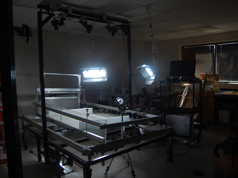
Probing the Grain-Scale Processes That Drive Plate Tectonics
New experimental data suggest that rock composition may play a critical role in forming and perpetuating shear zones.
Posted inScience Updates
Analog Modeling Recreates Millions of Years in a Few Hours
Second Workshop on Analog Modeling of Tectonic Processes; Austin, Texas, 17–19 May 2017

Posted inResearch Spotlights
Seafloor Activity Sheds Light on Plate Tectonics
Scientists in Japan study stress released by oceanic earthquakes in newborn sections of seafloor.
Posted inResearch Spotlights
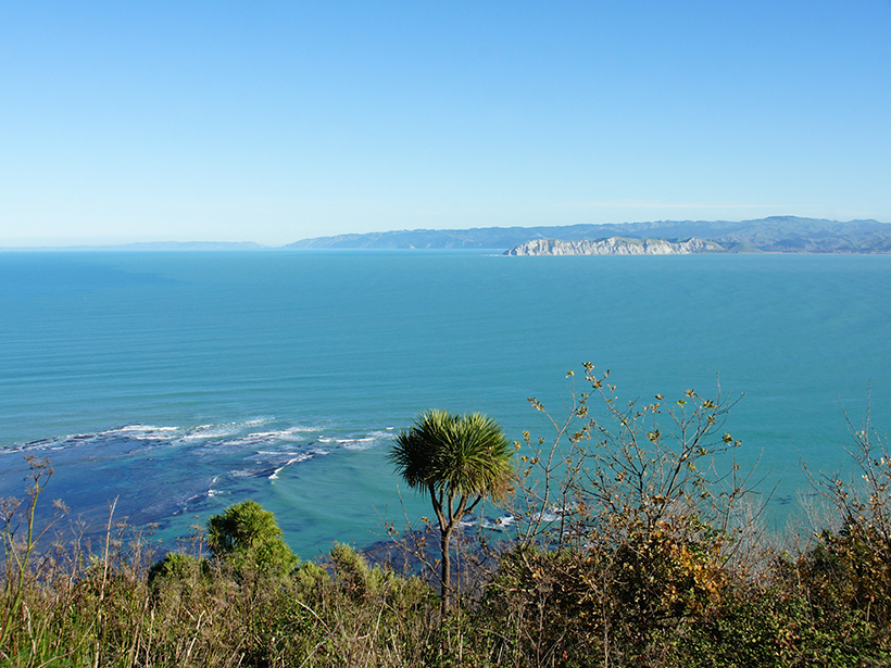
Imaging the Underlying Mechanics of New Zealand Earthquakes
Researchers create a first-of-its-kind image to map electrical properties of rocks and minerals throughout the Hikurangi subduction zone.