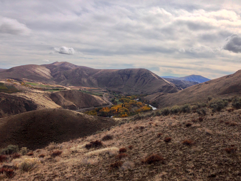
Fault geometry and slip rate analyses show deformation in the Yakima Fold Province accelerated in the Pleistocene and has remained elevated, offering new insights into earthquake recurrence intervals.
plate tectonics
Posted inResearch Spotlights
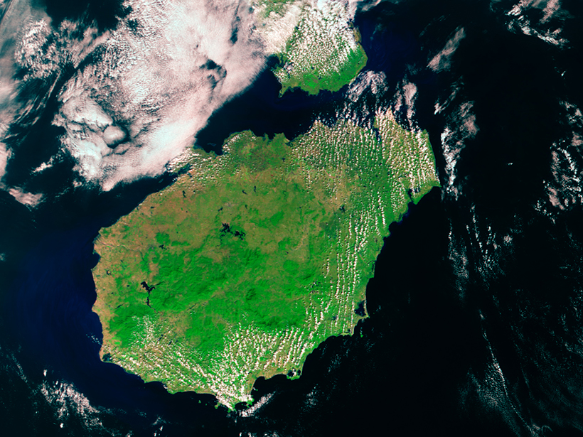
Linking Mantle Plumes to Volcanoes and Hot Spot Tracks
Study bolsters hypothesis that volcanoes on China’s Hainan Island were formed by a hot spot.
Posted inResearch Spotlights
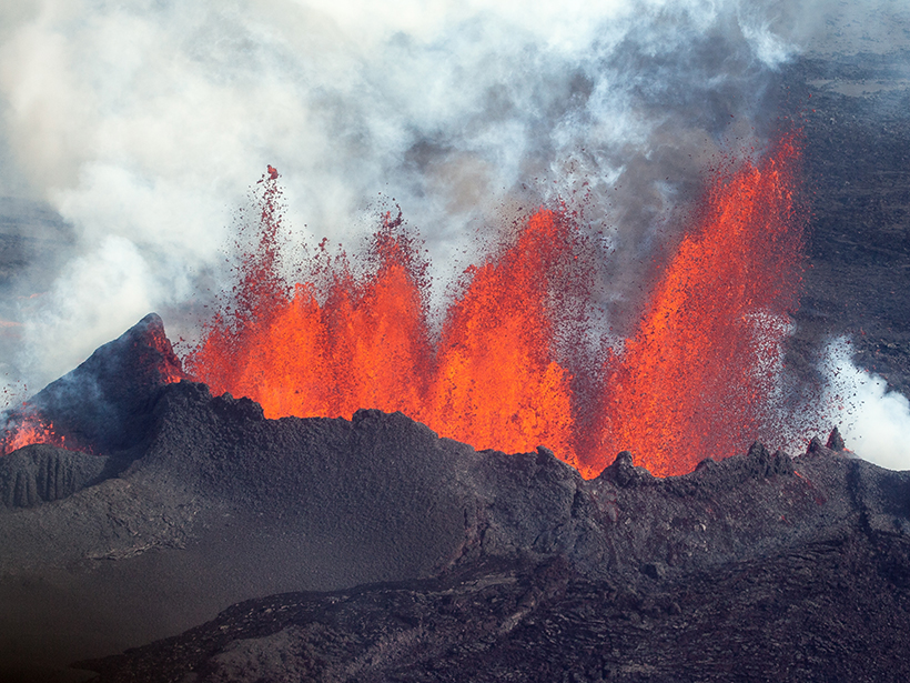
Magma Flow in a Major Icelandic Eruption
Mechanical modeling suggests that previous, undetected eruptions released tectonic stress near the ice-covered Bárðarbunga volcano.
Posted inResearch Spotlights
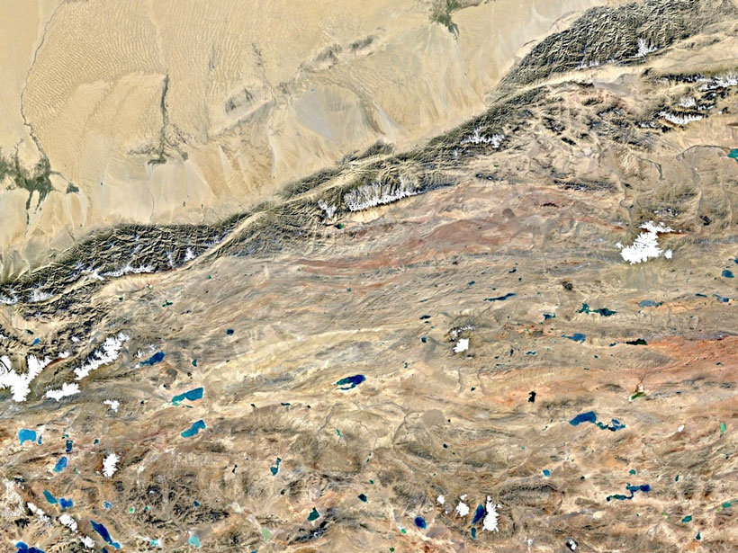
New Insights into Continental Deformation in Northwestern Tibet
A new surface velocity map shows strain localized along major strike-slip features, suggesting the central Tibetan Plateau is not deforming as a fluid in response to gravitational collapse.

Posted inResearch Spotlights
Evidence for Gravity Tectonics After the Great Sumatra Quake
A new method that applies structural geology principles to aftershock analyses suggests that gravity-driven motion may occur during part of the seismic cycle.
Posted inResearch Spotlights
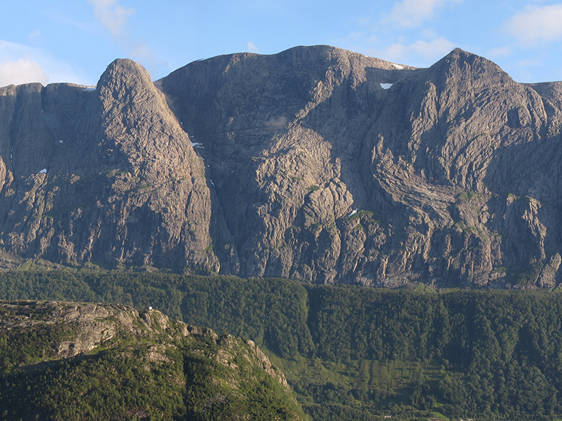
An Improved Understanding of How Rift Margins Evolve
A new seismic reflection study of the mid-Norwegian margin examines the role that low-angle, high-displacement faults play in the evolution of continental rifts.
Posted inResearch Spotlights
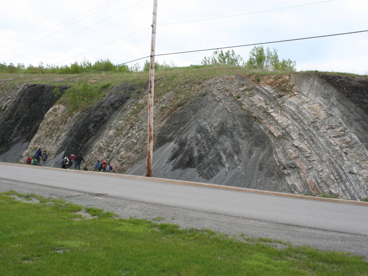
New Model Simulates Faults and Folds Shaping Each Other
A new model simulates how faulting and folding deep in Earth’s crust shape the way rocks fold and cause earthquakes.

Posted inResearch Spotlights
Widespread Mantle Upwelling Beneath Oceanic Transform Faults
A global characterization of mantle flow patterns beneath active oceanic transforms suggests pervasive upwelling stabilizes divergent plate boundaries by warming and weakening these enigmatic features.
Posted inEditors' Highlights
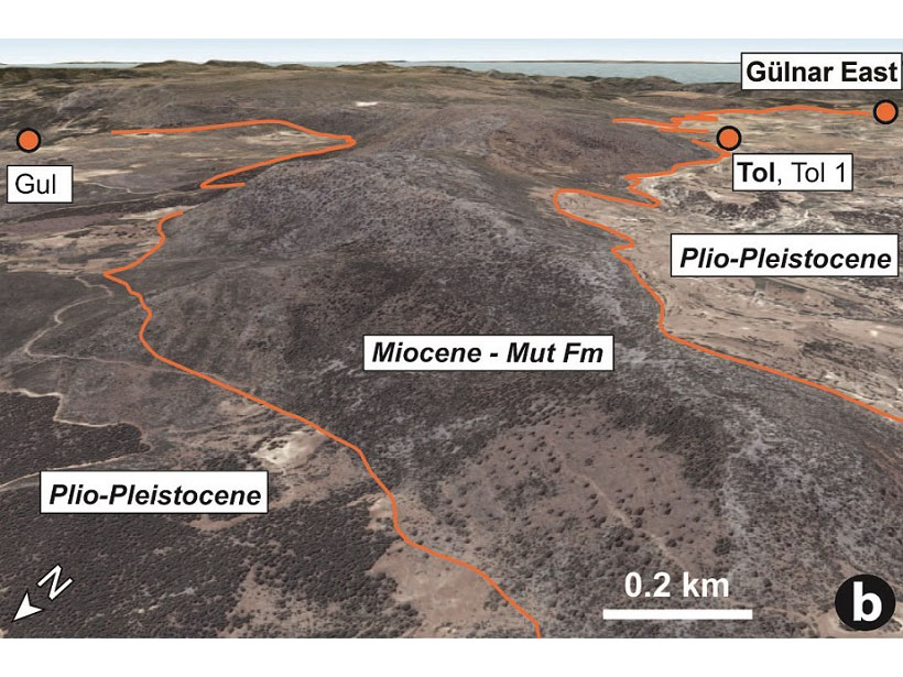
Tracking Deep-Earth Processes from Rapid Topographic Changes
Rapid elevation-rise in Turkey, tracked by marine sediments that now sit at 1.5 km in elevation, is linked to deep-Earth processes that can explain short-lived, extreme rates of topographic change.
Posted inNews
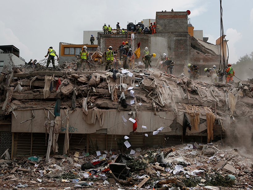
Were Mexico’s September Quakes Chance or a Chain Reaction?
Last year, two major earthquakes—one 12 days after the first—shook Mexico. New analysis blames this very unlikely event on chance. But one of the pair may have triggered a third large nearby temblor.