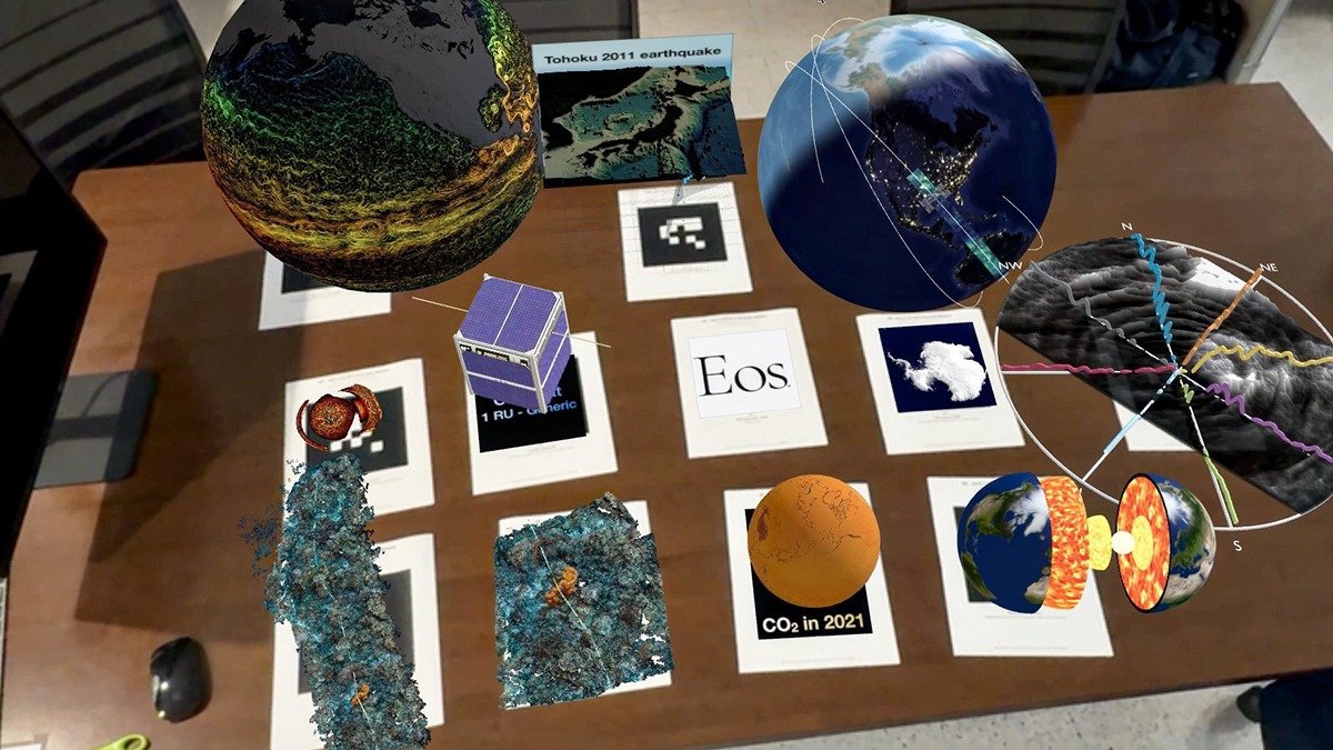
Advances in virtual and augmented reality, spatial computing, and other technologies offer chances to work with data more intuitively, benefiting Earth and space science research and education.
apps & software
Posted inScience Updates
How to Accelerate Advances in Ecological Forecasting
Developing shared cyberinfrastructure can enhance predictions of ecological change and enable improved decisionmaking for resource management and public well-being.
Posted inScience Updates
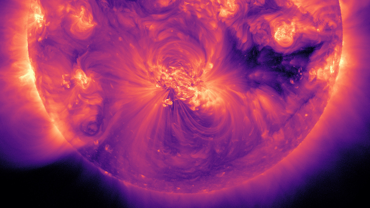
Shining a Light on the People Behind Solar Science
A new database provides a comprehensive who’s who of scientists in solar and heliospheric physics research, offering a valuable resource for that community and a model for other fields to follow.

Posted inResearch Spotlights
When Is a Climate Model “Good Enough”?
Models will always have bugs. How do scientists decide which ones are most important and how many is too many?

Posted inNews
A New App Tracks Burrowing Animals That Weaken Levees
Researchers are calling on amateur scientists to help protect flood barriers in their communities.
Posted inResearch Spotlights
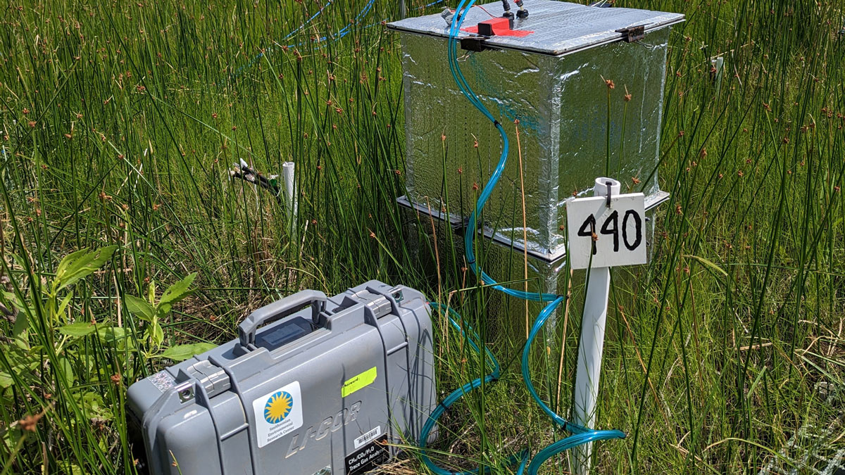
New Software Package Helps Scientists Find Flux
An easy-to-use R package offers a more efficient way to sort through and analyze data about greenhouse gas levels collected in static chamber experiments.
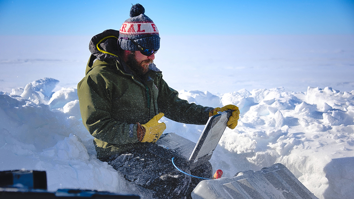
Posted inOpinions
Democratizing Science in the Cloud
CryoCloud opens scientific research and education to a broader range of cryosphere researchers with a cloud-based interactive computing environment, training, and community support.

Posted inNews
U.S. Earthquake Early Warning System Gets a Major Upgrade
Satellite capabilities will improve the accuracy of ShakeAlert earthquake magnitude measurements.

Posted inOpinions
Snapping Science in the Field
Snapchat, the multimedia messaging app, offers a range of features that make it an unexpectedly useful tool for geoscientists on the go.

Posted inScience Updates
Un enfoque holístico de los datos hidroeléctricos
Una nueva plataforma en línea ofrece extensos datos y herramientas sobre los recursos hidroeléctricos de EE. UU., lo que permite tomar decisiones basadas en datos en el nexo energía-agua.