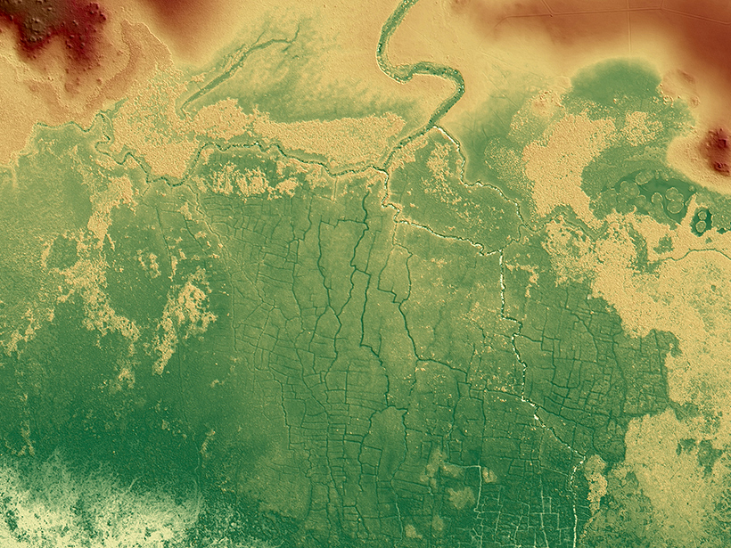
One agricultural network was 5 times larger than earlier estimates, and the fields may be an early source of human-caused greenhouse gas emissions.
wetlands
Posted inNews
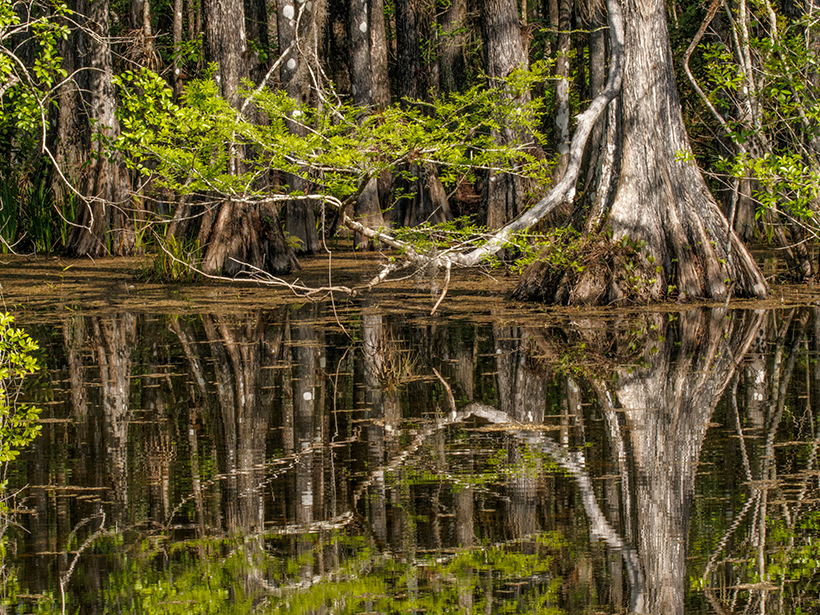
North Carolina Bald Cypress Tree Is at Least 2,674 Years Old
Researchers say it’s the oldest-known living tree in eastern North America. If it hadn’t been protected, it could have ended up as garden mulch.
Posted inResearch Spotlights
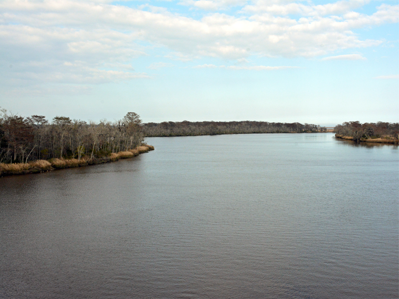
Tracking Dissolved Organic Matter in Coastal Ecosystems
Dissolved organic matter supports aquatic food webs and holds as much carbon as the atmosphere. A new study tracks which sources and processes play the biggest role in coastal systems.

Posted inResearch Spotlights
New Study Shifts Paradigm of Coastal Sediment Modeling
A new model improves predictions for sediment movement in vegetated shoreline zones and reveals a universal predictor that could change the understanding of coastal landscape evolution.

Posted inEditors' Highlights
Formation of Sedimentary Deposits: Bypass Versus Mass Extraction
Grain size and sediment delivery pathways from the Ganges delta have been used to model downstream facies changes.

Posted inResearch Spotlights
The Urban Dry Island Effect
A study of the Yangtze River Delta shows how urbanization dries out the atmosphere.
Posted inResearch Spotlights
Budgeting Ozone-Depleting Emissions from Coastal Tidal Marshes
Brackish wetlands and their salt-tolerant vegetation are significant methyl halide emitters. The natural emissions add chlorine and bromine to the stratosphere, which break down ozone.
Posted inOpinions
Human Activities Create Corridors of Change in Aquatic Zones
Canals, dammed reservoirs, irrigation ditches, and pollution are changing species diversity, microbial communities, and nutrient levels in aquatic zones across the planet.
Posted inResearch Spotlights
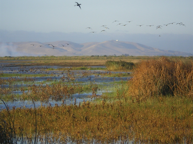
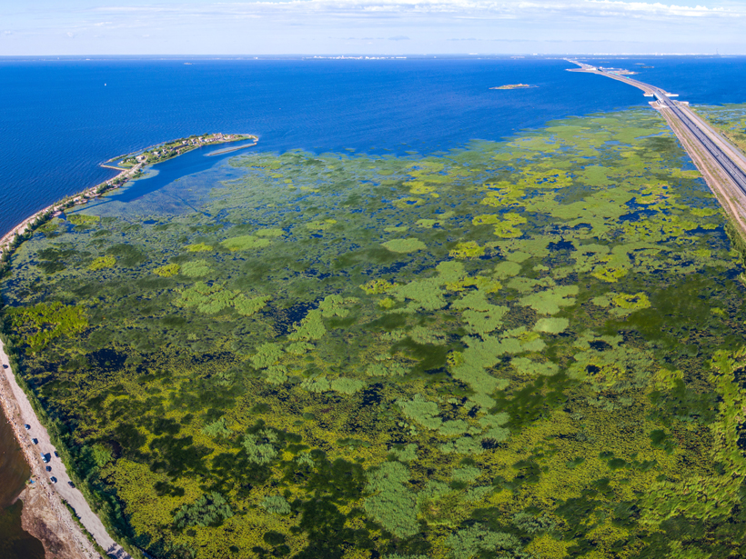
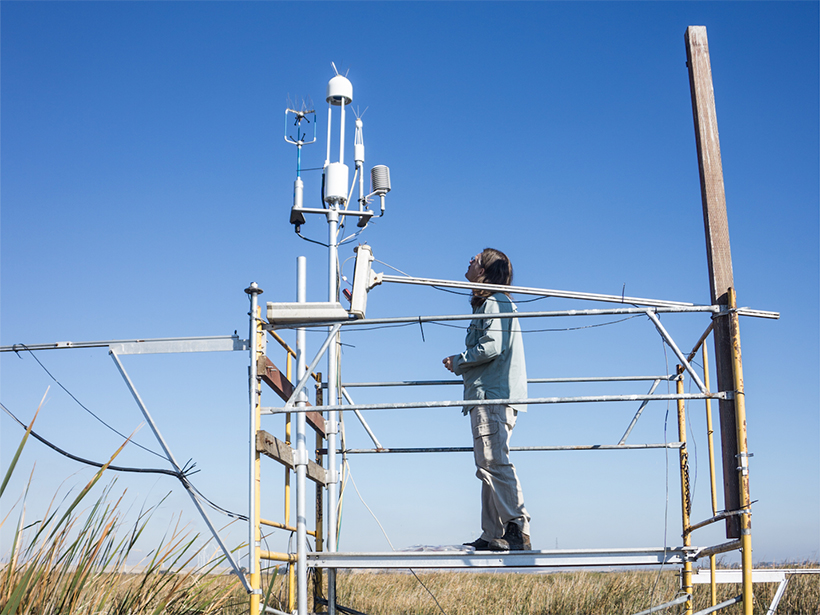
Restored Wetlands Could Lower Local Surface Temperatures
A 3-year study of wetlands and cropland in a major California delta highlights the need to consider the physical effects of vegetation when planning land use changes.

Posted inScience Updates
How Much Land Surface Is Under Water at Any Given Time?
NASA Workshop on Remote Sensing of Inundation Extent; Boulder, Colorado, 21–22 May 2018