
Climate Change in Africa: Evidence, Mechanisms, and Impacts, Past and Present; Marrakesh, Morocco, 6–11 November 2017
CC BY 2018
Posted inScience Updates
The Stratosphere and Its Role in Tropical Teleconnections
Joint SPARC Dynamics and Observations Workshop; Kyoto, Japan, 9–14 October 2017
Posted inScience Updates
Making Maps on a Micrometer Scale
Geographic information system software, created for mapping cities and continents, works equally well with the minuscule layers and inclusions that record a crystal’s history.
Posted inScience Updates
Dynamic Ice Sheet and Sea Level Response to Past Climate Change
PALSEA2 Workshop; Playa del Carmen, Quintana Roo, Mexico, 6–9 November 2017

Posted inScience Updates
Geoscientists Collaborate to Understand Silicic Magma Systems
American Geophysical Union Chapman Conference: Merging Geophysical, Petrochronologic, and Modeling Perspectives of Large Silicic Magma Systems; Quinamavida, Chile, 7–12 January 2018

Posted inScience Updates
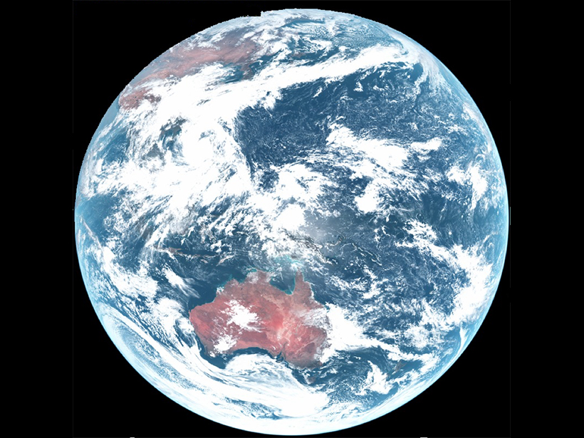
Interactive Online Maps Make Satellite Ocean Data Accessible
A new online resource from the National Oceanic and Atmospheric Administration provides an interactive view of global satellite ocean color and true-color imagery.
Posted inScience Updates
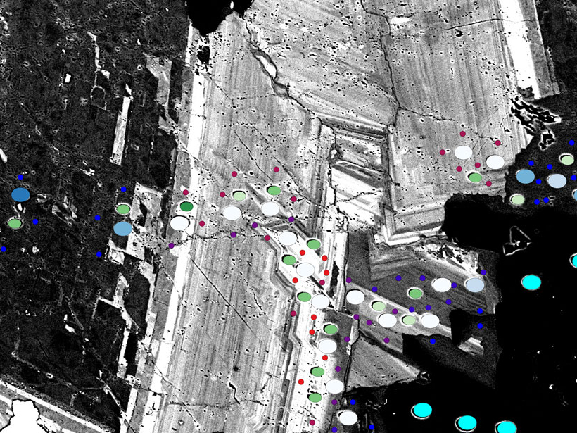
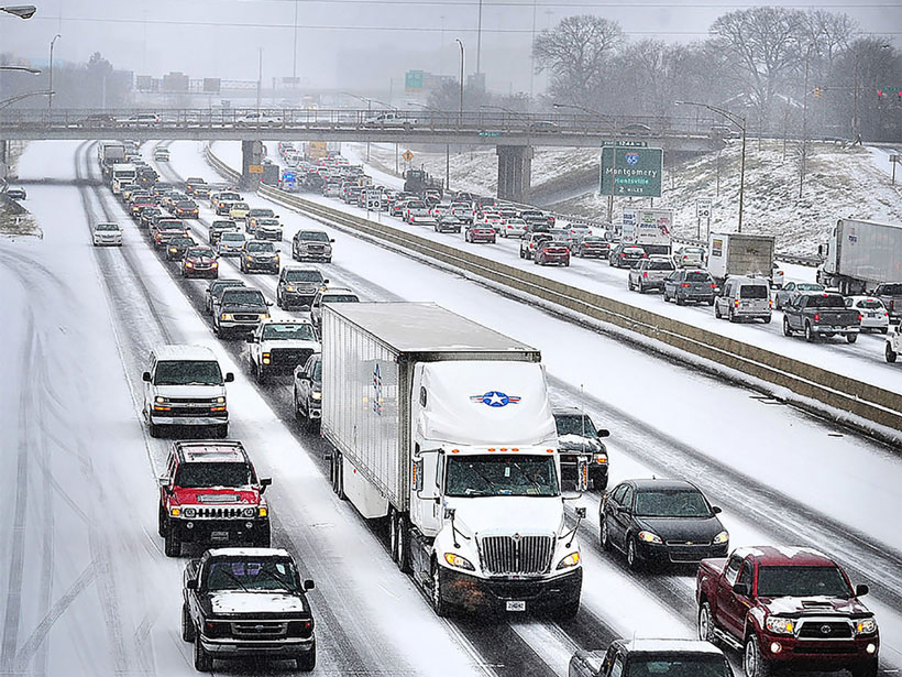
Snowfall Rates from Satellite Data Help Weather Forecasters
A new data product calculates snowfall rates from weather data beamed directly from several satellites, helping meteorologists provide fast, accurate weather reports and forecasts.

Posted inOpinions
YOU Should Advocate for Science
Are you engaged in rigorous science? If so, ask your elected representatives to fund it robustly and predictably and to oppose policies that impede scientific progress.

Posted inScience Updates
Atmospheric Teleconnections: Advanced Tools and Citizen Science
GOTHAM International Summer School on Global Teleconnections in the Earth’s Climate System – Processes, Modelling and Advanced Analysis Methods; Potsdam, Germany, 18–22 September 2017

Posted inFeatures
Fluid Injection Wells Can Have a Wide Seismic Reach
High-volume fluid injection can cumulatively increase underground pore pressure and induce earthquakes in regions unexpectedly far from injection wells, recent Kansas studies show.