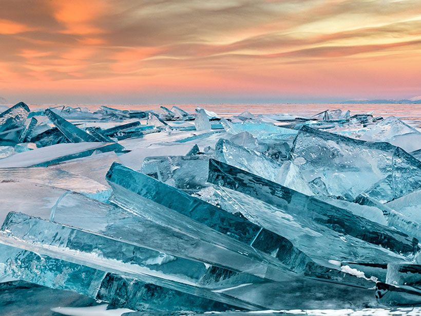
Scientists long eschewed studying lakes in winter, expecting that cold temperatures and ice cover limited activity below the surface. Recent findings to the contrary are changing limnologists’ views.
Science Updates
Posted inScience Updates
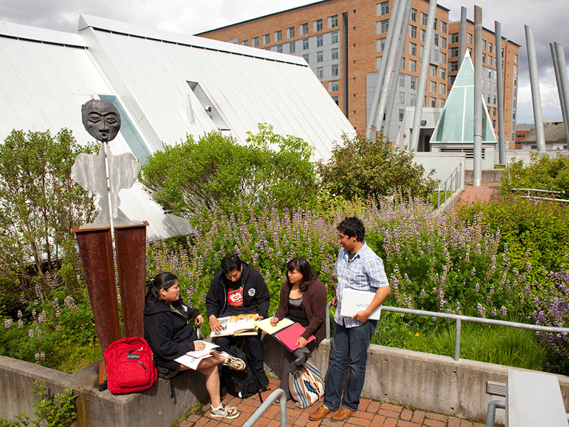
A New Vision of Sustainability in Earth Science Education
Following the culmination of an ambitious Earth science education initiative, scientists and educators met to prioritize ways in which education about Earth can foster sustainable societies.

Posted inScience Updates
Evolution of the Asian Monsoon
Climate and topography change the characteristics of the Asian monsoon over millions of years. These changes affect the region’s climate and topography, and the cycle continues.

Posted inScience Updates
Clearing the Haze Around Aerosol Assessments
An international gathering of scientists discussed the state of the art in assessments of how aerosol particles in the atmosphere affect Earth’s climate.
Posted inScience Updates
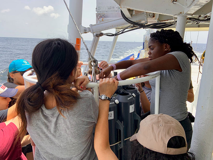
How COVID-19 Is Affecting Undergraduate Research Experiences
Limitations on summer research internships imposed by the pandemic are impeding students’ engagement in geoscience education and preparation for careers. The community is acting quickly to adapt.
Posted inScience Updates
Modeling Fluid Migration in Subduction Zones
Scientists from different disciplines are working together to identify common challenges in and techniques for modeling fluid migration associated with subduction zone processes.
Posted inScience Updates
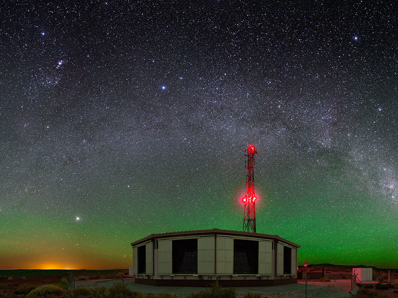
Catching Elves in Argentina
The world’s largest cosmic ray detector accidentally spotted elves, an unusual lightning phenomenon high in the atmosphere. Now it’s intentionally looking for more.
Posted inScience Updates
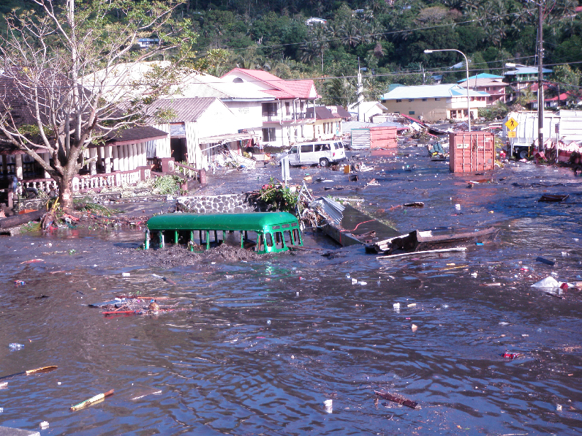
Sensor Network Warns of Stealth Tsunamis
A next-generation network of seismic and wave sensors in the southwestern Pacific will warn coastal residents of an approaching tsunami before they see the wave.
Posted inScience Updates
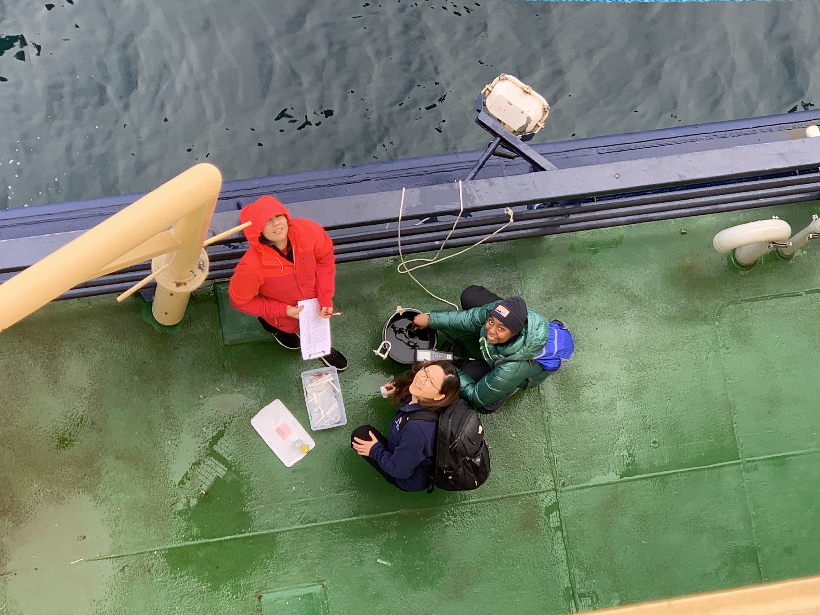
Once Again into the Northwest Passage
After two unsuccessful tries, a hardy band of undergraduate students conducted a successful Arctic research and outreach expedition through the Northwest Passage.
Posted inScience Updates
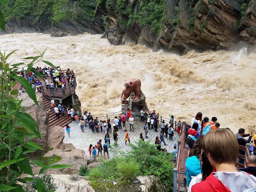
Asia’s Mega Rivers: Common Source, Diverse Fates
How do humans affect the ways that Asia’s mega rivers deliver sediment and dissolved matter to farms, river deltas, and, eventually, the sea? A proposed study would construct an integrated picture.