
• About
  • Special Reports
  • Topics
    • Climate
    • Earth Science
    • Oceans
    • Space & Planets
    • Health & Ecosystems
    • Culture & Policy
    • Education & Careers
    • Opinions
  • Projects
    • Postcards From the Field
    • ENGAGE
    • Editors’ Highlights
    • Editors’ Vox
    • Eos en Español
    • Eos 简体中文版
    • Print Archive: 2015–2025
  • Policy Tracker
  • Blogs
    • Research & Developments
    • The Landslide Blog
  • Newsletter
  • Submit to Eos
  • AGU.org
  • Career Center
  • Join AGU
  • Give to AGU
  • About
  • Special Reports
  • Topics
    • Climate
    • Earth Science
    • Oceans
    • Space & Planets
    • Health & Ecosystems
    • Culture & Policy
    • Education & Careers
    • Opinions
  • Projects
    • Postcards From the Field
    • ENGAGE
    • Editors’ Highlights
    • Editors’ Vox
    • Eos en Español
    • Eos 简体中文版
    • Print Archive: 2015–2025
  • Policy Tracker
  • Blogs
    • Research & Developments
    • The Landslide Blog
  • Newsletter
  • Submit to Eos
Skip to content
  • AGU.org
  • Career Center
  • Join AGU
  • Give to AGU
Eos

Eos

Science News by AGU

Support Eos
Sign Up for Newsletter
  • About
  • Special Reports
  • Topics
    • Climate
    • Earth Science
    • Oceans
    • Space & Planets
    • Health & Ecosystems
    • Culture & Policy
    • Education & Careers
    • Opinions
  • Projects
    • Postcards From the Field
    • ENGAGE
    • Editors’ Highlights
    • Editors’ Vox
    • Eos en Español
    • Eos 简体中文版
    • Print Archive: 2015–2025
  • Policy Tracker
  • Blogs
    • Research & Developments
    • The Landslide Blog
  • Newsletter
  • Submit to Eos

Science Updates

Cirrus clouds at sunset.
Posted inScience Updates

Understanding How Climate Engineering Can Offset Climate Change

by B. Kravitz, Alan Robock and J. E. Kristjánsson 12 January 20171 March 2023

Sixth Meeting of the Geoengineering Model Intercomparison Project; Oslo, Norway, 21–22 June 2016

Artist’s conception of the instrument mast for NASA's Mars 2020 rover.
Posted inScience Updates

Seeking Signs of Life and More: NASA’s Mars 2020 Mission

by K. A. Farley and K. H. Williford 11 January 201725 August 2022

The next Mars rover will be able to land near rugged terrain, giving scientists access to diverse landscapes. It will also cache core samples, a first step in the quest to return samples to Earth.
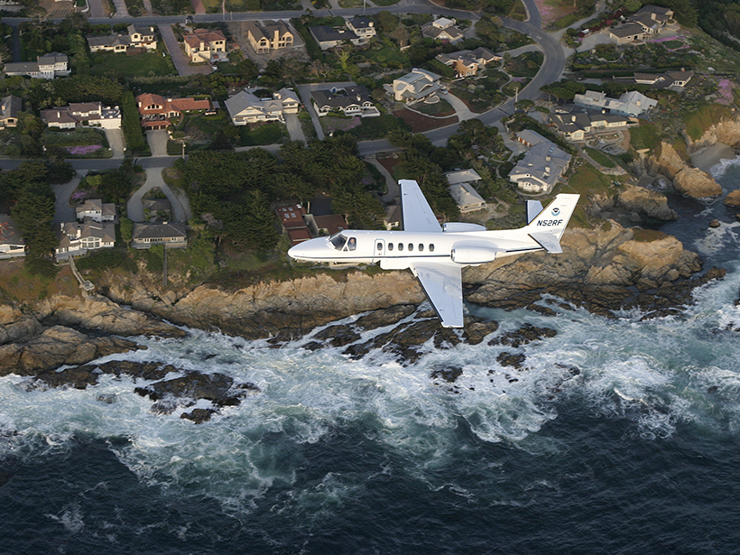
An airplane carrying gravimeters.
Posted inScience Updates

Measuring Earth’s Gravity Field from the Air

by Y. M. Wang and T. Damiani 10 January 201719 September 2022

2016 Airborne Gravimetry for Geodesy Summer School; Silver Spring, Maryland, 23–27 May 2016
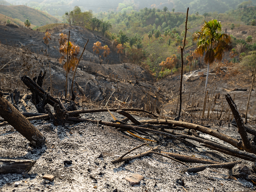
colombia-tropical-dry-forest-fire
Posted inScience Updates

Identifying a Fire Ecology Research Agenda for Colombia

by S. Rodríguez-Buriticá, M. Aguilar-Garavito and N. Norden 10 January 201710 February 2017

Fire Ecology Colloquium; Bogotá, Colombia, 23–24 June 2016
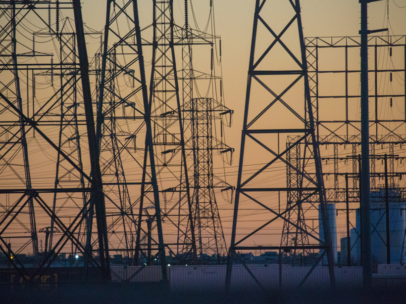
Southern California power lines at sunset.
Posted inScience Updates

Achieving a Near-Zero Carbon Emissions Energy System

by S. J. Davis, N. S. Lewis and K. Caldeira 9 January 201710 February 2017

Getting Near Zero: Decarbonizing the Last 20%; Aspen, Colorado, 31 July to 5 August 2016
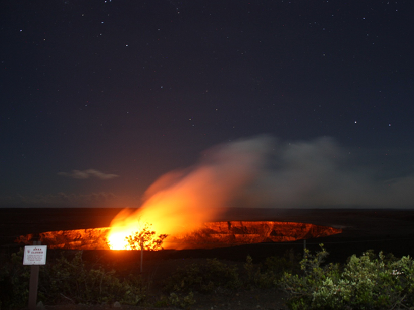
crater-kilauea-summit-caldera-volcanoes-hawaii
Posted inScience Updates

Developments in the Study of Rock Physics

by L. Adam and Douglas R. Schmitt 9 January 20171 October 2021

AGU/SEG Joint Workshop on Upper Crust Physics of Rocks; Hilo, Hawaii, 11–14 July 2016
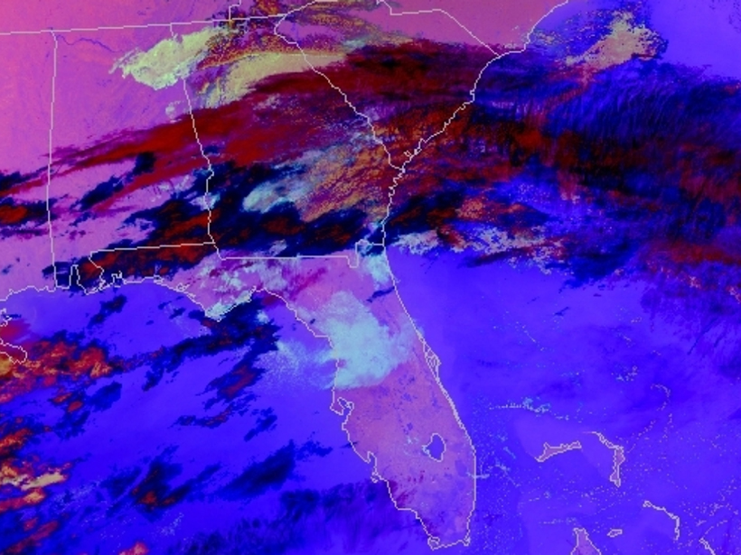
Multispectral composite image allows weather forecasters to identify aviation hazards
Posted inScience Updates

Transforming Satellite Data into Weather Forecasts

by E. Berndt, A. Molthan, W. W. Vaughan and K. Fuell 5 January 201727 July 2022

A NASA project spans the gap between research and operations, introducing new composites of satellite imagery to weather forecasters to prepare for the next generation of satellites.
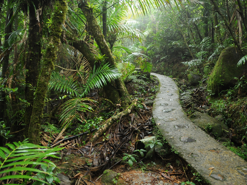
A trail meanders through Puerto Rico's El Yunque National Forest.
Posted inScience Updates

The Pace of Change on Tropical Landscapes

by B. P. Wilcox, S. Bruijnzeel and H. Asbjornsen 30 December 20162 November 2021

Emerging Issues in Tropical Ecohydrology; Cuenca, Ecuador, 5–9 June 2016
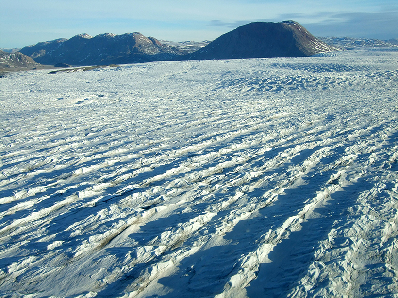
Aerial view, looking west over Wordie glacier, one of the smaller outlet glaciers in northeastern Greenland
Posted inScience Updates

Using Landsat to Take the Long View on Greenland's Glaciers

by M. Scheinert, R. Rosenau and B. Ebermann 29 December 201627 July 2022

A new web-based data portal gives scientists access to more than 40 years of satellite imagery, providing seasonal to long-term insights into outflows from Greenland's ice sheet.
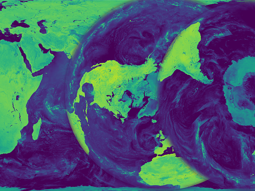
Microwave brightness temperature maps derived from satellite data.
Posted inScience Updates

Bringing Earth's Microwave Maps into Sharper Focus

by A. C. Paget, M. J. Brodzik, D. G. Long and M. A. Hardman 21 December 201631 March 2023

New processing capabilities improve the spatial resolution of satellite microwave data, enabling scientists to analyze trends in coastal regions and marginal ice zones.

Posts pagination

Newer posts 1 … 44 45 46 47 48 … 71 Older posts
Over a dark blue-green square appear the words Special Report: The State of the Science 1 Year On.

Features from AGU Publications

Research Spotlights

InSight into Seismology on the Red Planet

21 October 202621 October 2026
Editors' Highlights

The Geomagnetic Polarity Time Scale Revisited Once Again

22 October 202622 October 2026
Editors' Vox

Opening Access to Earth Observation Data for Disaster Mitigation

21 October 202620 October 2026
Eos logo at left; AGU logo at right

About Eos
ENGAGE
Awards
Contact

Advertise
Submit
Career Center
Sitemap

© 2026 American Geophysical Union. All rights reserved Powered by Newspack