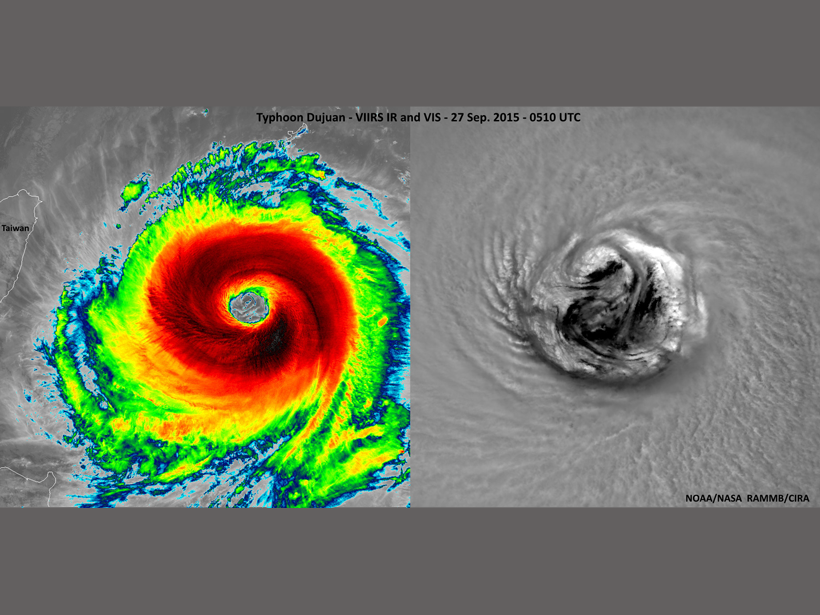
Center for Satellite Applications and Research Joint Polar Satellite System Annual Science Team Meeting; College Park, Maryland, 24–28 August 2015
remote sensing
Posted inResearch Spotlights
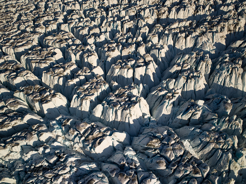
Recent Studies Crack Open New Views of Glacial Crevasses
Scientists review 60 years of direct and remote observations of crevasses and the models used to simulate them.
Posted inResearch Spotlights
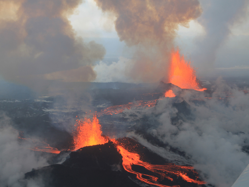
Icelandic Eruption Caused Record-Breaking Sulfur Dioxide Release
Satellite and ground-based data reveal sulfur dioxide flux, trace element release, and preeruption magma movement.
Posted inScience Updates
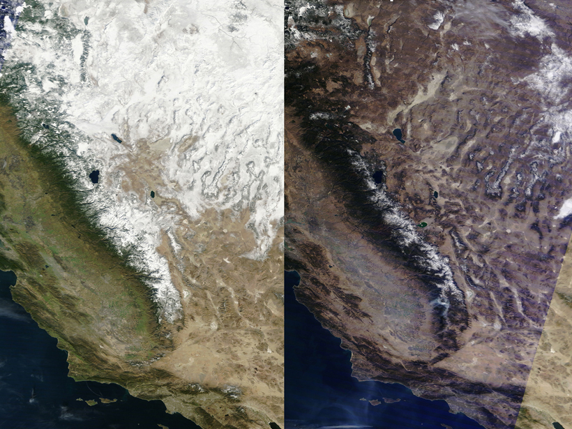
Quantifying Terrestrial Snow from Space
MicroSnow2 and SnowEx Workshops; Columbia, Maryland, 13–17 July 2015
Posted inScience Updates
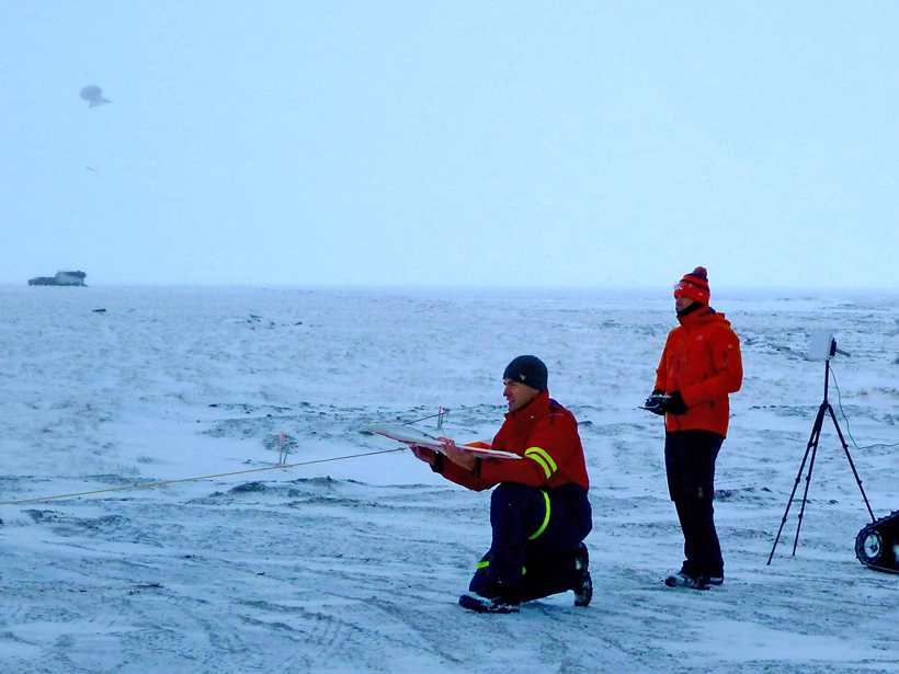
Unmanned Platforms Monitor the Arctic Atmosphere
In the Arctic, drones and tethered balloons can make crucial atmospheric measurements to provide a unique perspective on an environment particularly vulnerable to climate change.

Posted inResearch Spotlights
The Unique Radar Signature of Rain Falling on Water
If rain falls on an ocean and nobody's there to see it, how can we determine its effect on the Earth's climate? A new study shows us how space-based radar could help.
Posted inResearch Spotlights
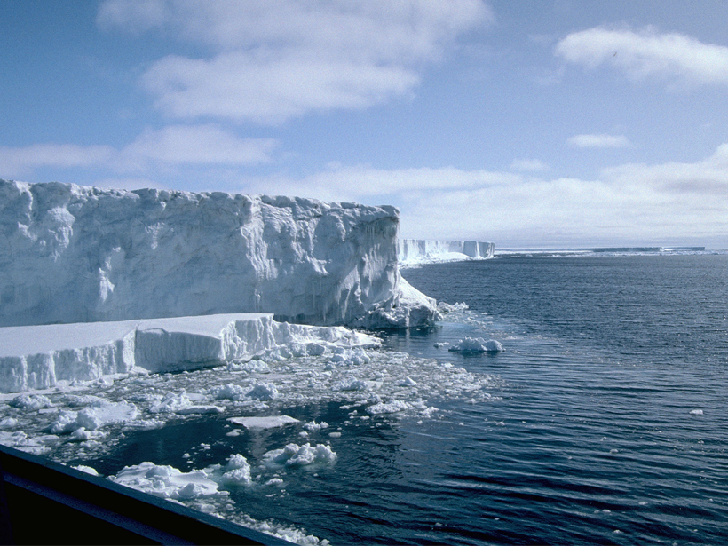
Tracking the Fate of Antarctica's Ice
New, more accurate satellite data provide researchers with ice shelf thickness measurements that will allow for better ice loss monitoring.
Posted inResearch Spotlights
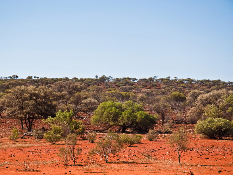
Satellites Reveal a Temporary Carbon Sink over Australia
Satellite measurements of atmospheric carbon dioxide provide insights into how droughts and floods influence the carbon cycle on the semiarid continent of Australia.
Posted inResearch Spotlights
Satellites Track Chlorophyll Fluorescence to Monitor Drought
New satellite observations show connection between solar-induced chlorophyll fluorescence and soil moisture—a key mechanism behind drought onset.
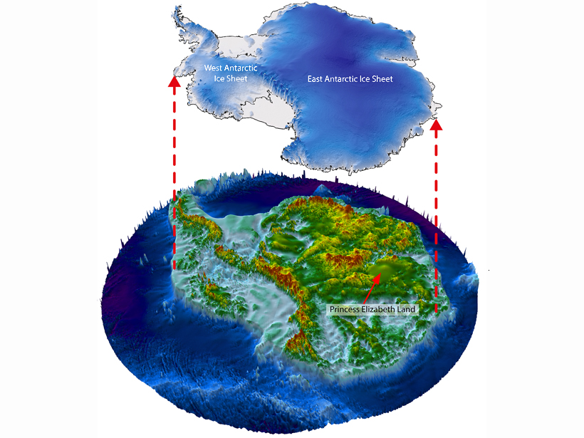
Posted inNews
Antarctic Ice May Harbor Huge Network of Canyons
Scientists saw hints in satellite data of dramatic geologic features under thousands of meters of ice in a little-probed part of East Antarctica. Now they are using airborne radar to explore further.