
When is a planet not a planet? Where does helium rain? How can water be solid and liquid at the same time? For answers, scientists put common planetary materials under extreme pressure and watched what happened next.
cool tools

Posted inFeatures
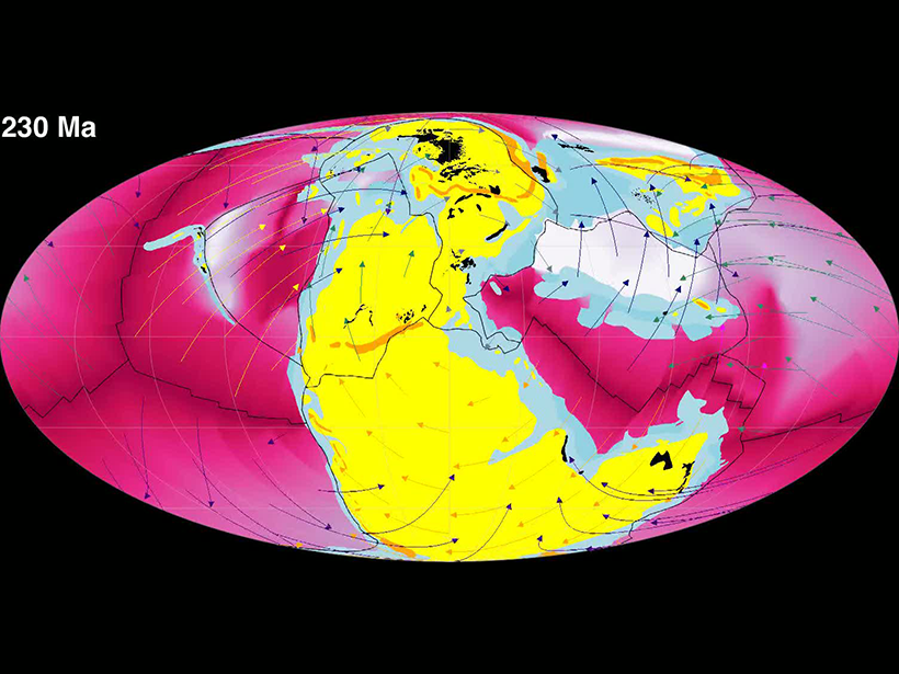
Reflecting on a Half Century of Mineral and Rock Physics at AGU
Research fields focused on the physical properties of Earth materials emerged in the 20th century and have been making major contributions within geoscience ever since.

Posted inNews
Radioactive Bookkeeping of Carbon Emissions
A new sampling method uses carbon-14 to single out which carbon dioxide molecules in the atmosphere derive from fossil fuels. The method could help track emissions goals for climate mitigation.

Posted inNews
Podcast: Instruments of Unusual Size
Rumbling volcanoes act like giant musical instruments that researchers can study to better monitor eruptions.
Posted inNews
Visualizing the Deep Carbon Cycle
Geoscientists have created animations to help visualize different components of Earth’s carbon cycle.
Posted inScience Updates
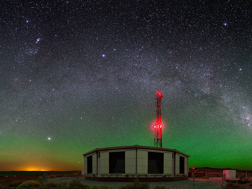
Catching Elves in Argentina
The world’s largest cosmic ray detector accidentally spotted elves, an unusual lightning phenomenon high in the atmosphere. Now it’s intentionally looking for more.

Posted inNews
Monitoring African Elephants with Raspberry Shake & Boom
A team of researchers has used low-cost devices to record footsteps and vocalizations from African elephants in the field.

Posted inNews
Venus Exploration Starts in the Lab
Most technology would not last a day on our planet’s evil twin. By creating Venus’s surface and atmospheric conditions here on Earth, a team of engineers is designing spacecraft technology that will last for months.

Posted inEditors' Highlights
Volcano Monitoring Goes Offshore
Offshore observations by cabled ocean-bottom pressure recorders have revealed details of the 2015 eruption of Axial Seamount submarine volcano in the Pacific Ocean.
Posted inEditors' Highlights
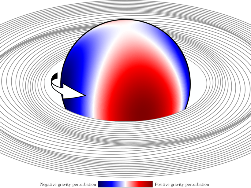
Using Saturn’s Rings as a Seismometer
The Cassini spacecraft observed spiral density waves in the rings of Saturn which can be used to probe its interior structure and rotation.